Contact OPTRON to find out more about our complete range of Survey Instruments!
Accurate surveying depends on more than experience alone. Surveyors and geospatial professionals need reliable instruments to collect site data with certainty.
These tools support work across construction, engineering, mapping, infrastructure and mining projects.
This guide explains the main surveying instruments used in modern survey work and how each one supports reliable measurement.
What Are Surveying Instruments?
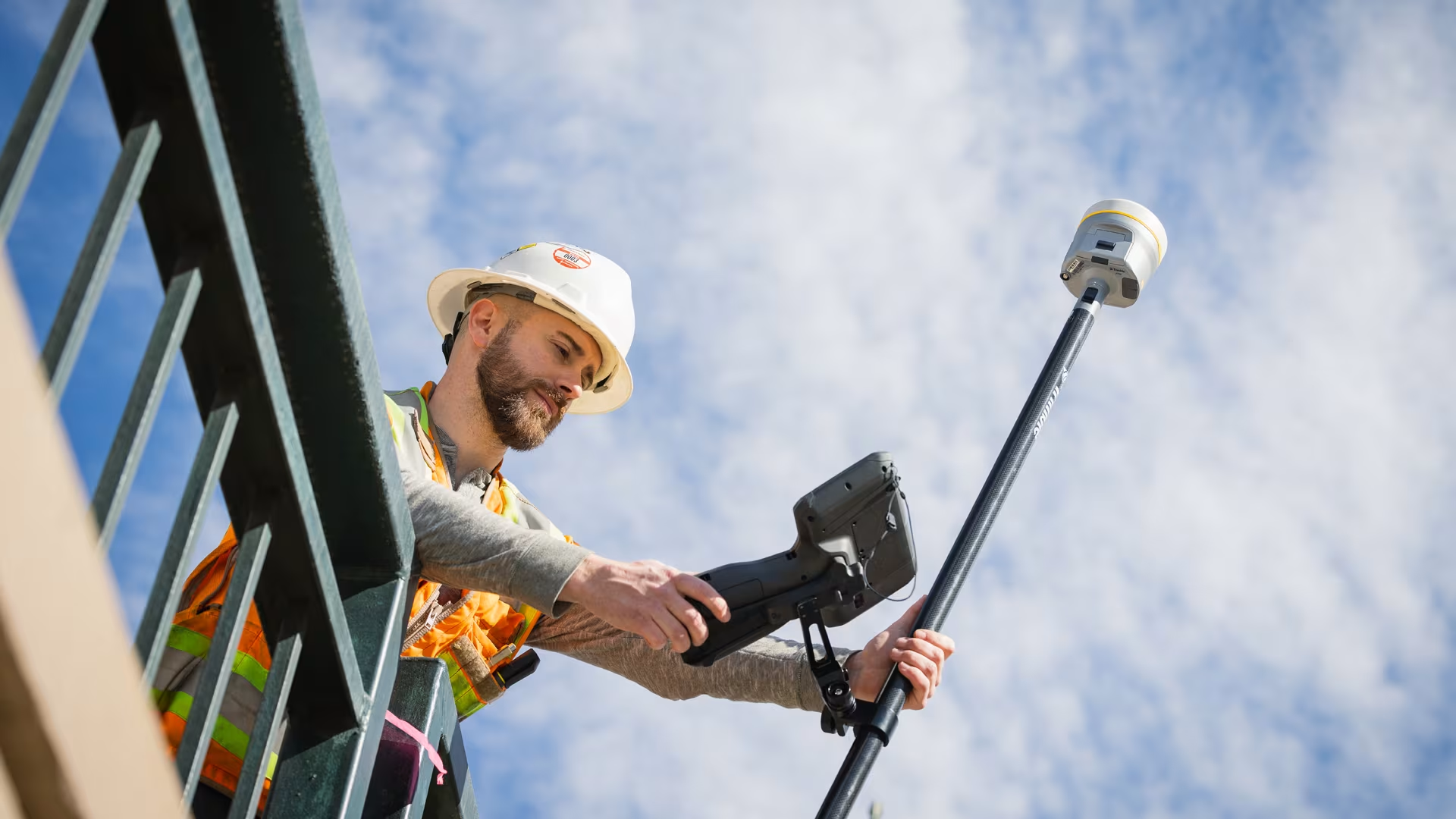
Surveying instruments collect and process spatial information accurately. They help professionals take accurate measurements and understand position data.
This category covers traditional tools such as theodolites and measuring equipment, as well as digital levels, Global Navigation Satellite System (GNSS) receivers and laser scanners. Software sits within the broader survey technology ecosystem, helping teams manage data between the site and the office.
Modern survey tools are not limited to physical measurement alone. Many combine hardware and software to help teams work more efficiently and reduce the risk of information being lost during handover.
Core Survey Tools and What They Do
The main instrument categories each serve a specific purpose, from positioning and elevation control to detailed site capture.
1. Total Stations
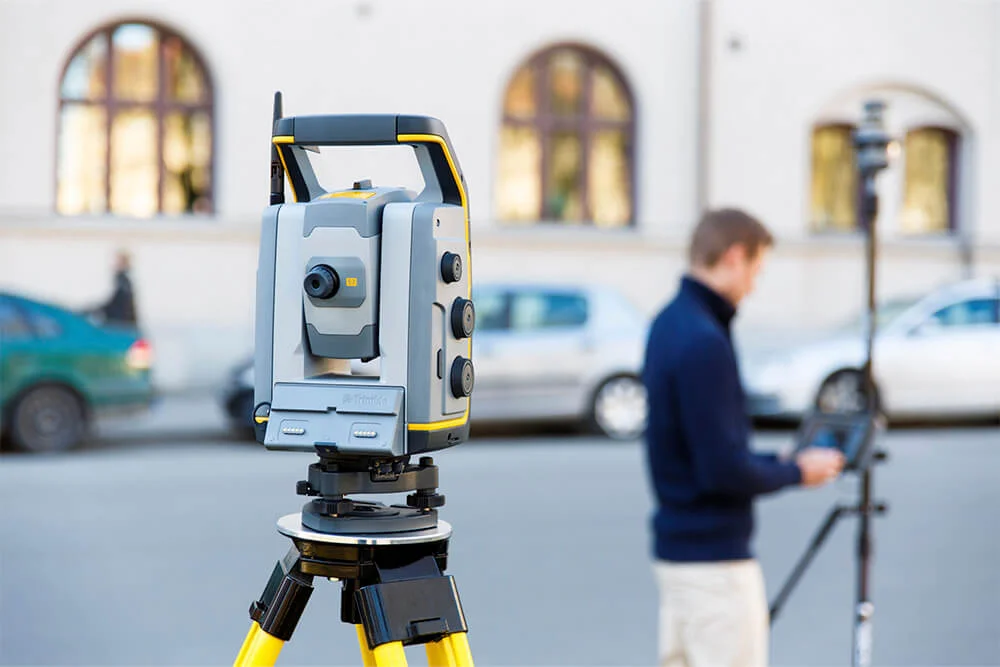
A total station measures angles and distances in one device. It remains one of the most widely used land surveying instruments for setting out construction work and monitoring tasks.
Robotic models can support one-person workflows, while Trimble total stations with scanning capabilities add 3D capture to traditional measurement tasks.
2. GNSS Survey Instruments
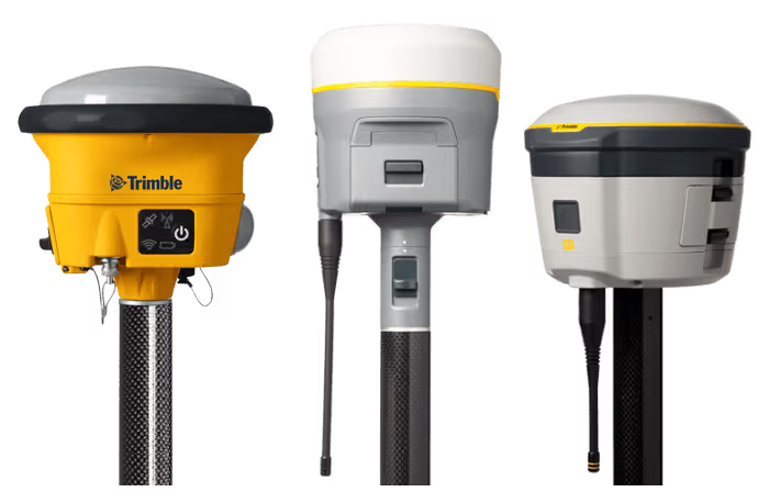
GNSS survey instruments use satellite signals to determine accurate positions. Trimble GNSS systems are useful on larger, open sites where surveyors need to cover ground efficiently, although site conditions and satellite visibility can influence performance.
3. Levels
Levels are used to measure height differences and support elevation control. They are commonly used in construction and civil works where vertical accuracy is important.
4. 3D Laser Scanners
3D laser scanners capture detailed spatial data from existing site conditions. This makes them useful when teams need a complete record of complex spaces or accurate as-built information.
5. Site Controllers and Data Collectors
Survey controllers and data collectors help surveyors manage instruments and field tasks. They connect with tools such as total stations, GNSS receivers and scanners, while helping teams store measurements and complete checks.
6. Field Software
Survey field software helps surveyors organise and check survey data. It can support stakeout work and prepare information for design, mapping or survey-processing platforms.
7. Drones / UAVs
Drones are used in surveying to quickly capture accurate aerial images and data of large areas, helping create detailed maps and 3D models..
8. Office Software
Office software is used in surveying to process, analyse, store, and present survey data, helping create accurate maps, plans, and reports..
Quick Comparison of Common Surveying Instruments
The table below summarises the main role of each instrument:
| Instrument | Main Function | Common Use |
|---|---|---|
| Total Station | Measures angles and distances | Set-out and monitoring work |
| GNSS | Provides satellite-based positioning | Mapping and open-site surveys |
| Levels | Measures height differences | Elevation control for civil works |
| 3D Laser Scanner | Captures detailed 3D site data | As-built records and complex spaces |
| Drones | Aerial photographs and 3D scanning | Topographic surveys |
Matching Instruments to Project Requirements
Choosing the right instrument depends on the type of measurement required, the site environment and how the data will be used.
Key considerations include:
-
Required accuracy
-
Site access and visibility
-
Type of data being captured
-
Compatibility with existing workflows
-
Product support and training needs
How Survey Technology Supports the Workflow
Surveying instruments are most effective when they fit the project workflow. A survey team may need to establish a position first, then capture more detailed measurements as the work progresses.
On some sites, this may mean using GNSS for initial positioning before switching to a total station for set-out or monitoring. On others, a scanner may be used to record existing conditions before the data is processed for design or documentation.
When the instrument suits the task, survey data can be collected and used more reliably.
Find the Right Survey Tools for Your Fieldwork
The right survey technology should make fieldwork clearer, not more complicated. With expert guidance, your team can compare professional instruments more effectively and choose solutions that align with how you collect and manage site data.
Explore OPTRON’s Surveying Instruments.