Contact OPTRON to find out more about our complete range of Total Station solutions!
A few millimetres can change the outcome of an entire project..
In construction, mining and infrastructure environments, surveying teams must maintain site control and coordinate field activities efficiently as projects become larger and more complex. Dependable measurement and positioning data form the foundation of every layout decision.
A total station provides the measurement and positioning data needed to establish control points, verify positions and guide construction activities throughout the project lifecycle.
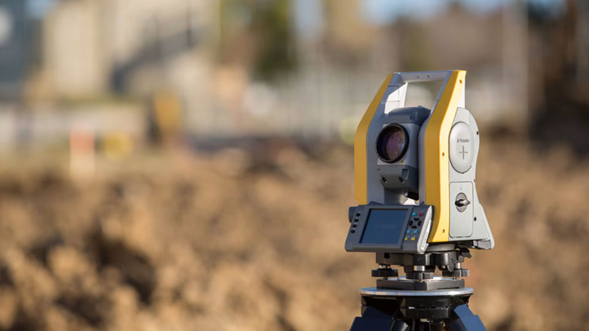
What Is a Total Station?
A total station combines an electronic theodolite, an electronic distance meter (EDM) and onboard computing within a single integrated surveying system. During operation, the total station sends a signal toward a prism to calculate distances while simultaneously recording positional measurements. The system then converts this information into site coordinates.
In infrastructure, mining, engineering and construction surveying, these instruments are used to position structures accurately, verify layout points and maintain site measurements throughout different project stages. Integrated
Trimble surveying workflows connect with Trimble Office Software, helping teams coordinate survey information more efficiently between field and office environments.
Core Functions of a Total Station
Modern total station technology combines angle and distance measurement, coordinate calculation and layout functionality into a single integrated surveying workflow.
Integrated systems connect to data collectors, Trimble Field Software and cloud-based platforms to improve field information management between site and office environments.
These functions support day-to-day surveying operations across construction, mining and infrastructure projects:
| Function | Operational Purpose |
|---|---|
| Angle Measurement | Records angular measurements for surveying and set-out tasks |
| Distance Measurement | Calculates precise distances between survey points using EDM technology |
| Coordinate Calculation | Determines exact X, Y and Z positions for layout and site checks |
| Layout and Stakeout | Helps surveyors position structures and site elements accurately |
| Mapping and Topography | Captures terrain and site information for planning and development |
Both processes are vital for turning data into insights and require advanced software for reliable results.
Common Applications for Total Stations
From infrastructure projects to mining operations, total stations are used in a wide range of surveying environments.
In construction surveying, these instruments are commonly used for site layout and quality control throughout the build process.
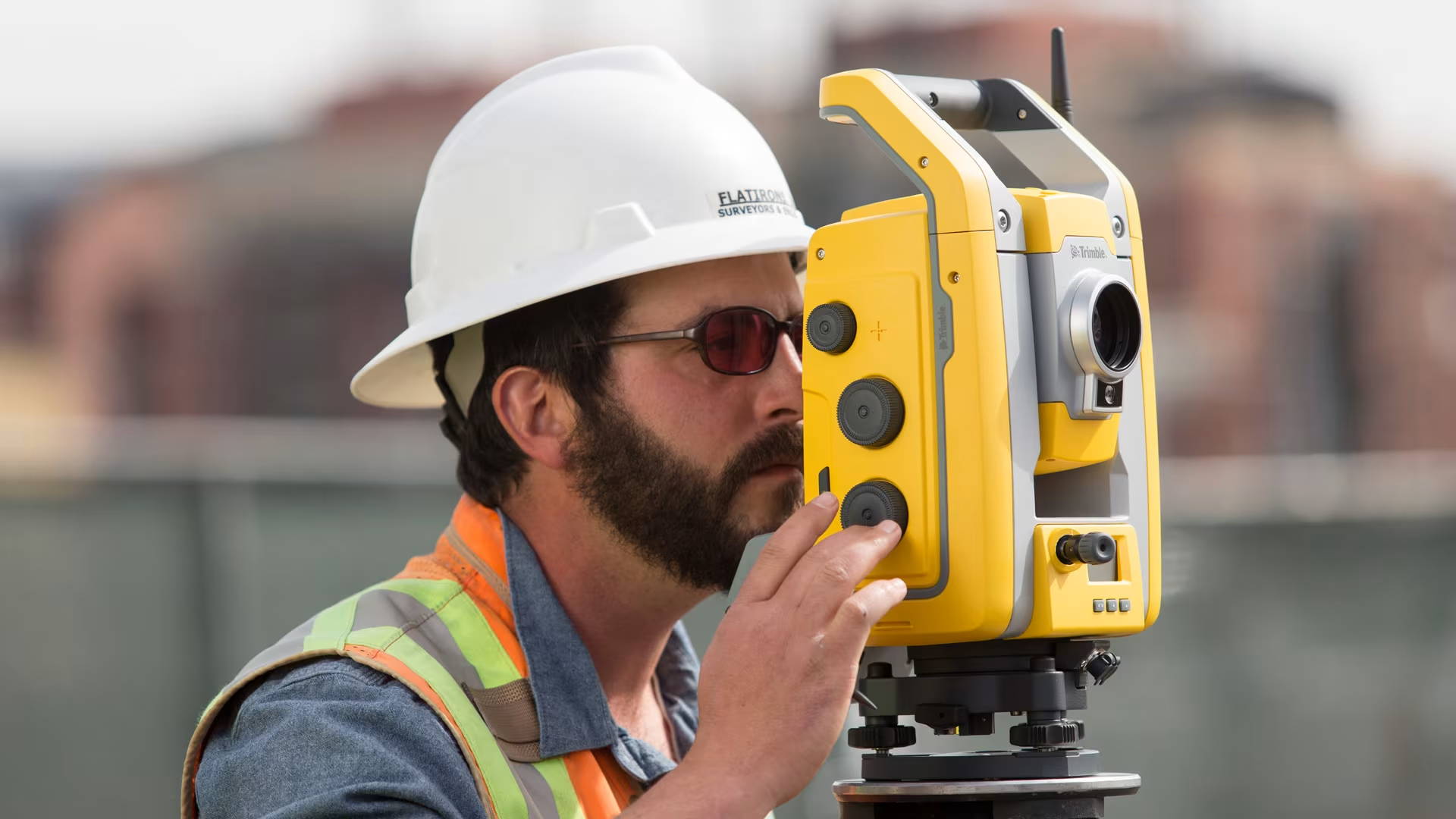
1. Land Surveying
Surveyors use this technology for topographic surveys, terrain mapping, boundary measurements and development planning.
2. Construction and Site Layout
In construction surveying, these instruments are commonly used for site layout and quality control throughout the build process.
3. Mining and Infrastructure
Mining, road and infrastructure projects use total station measurements for tunnel alignment, stockpile monitoring and ongoing site verification across large project areas.
Why Accurate Surveying Matters in Modern Projects
Surveying affects nearly every stage of a project. Incorrect site information can impact excavation, utilities, structural alignment and project coordination further down the line.
Small layout errors can also become more expensive to correct once construction progresses.
Faster field checks and connected surveying workflows help teams identify issues earlier, preventing delays from affecting broader site operations.
Total Stations vs GNSS Systems
Many surveying teams combine total stations with Global Navigation Satellite System (GNSS) technology to manage different survey requirements.
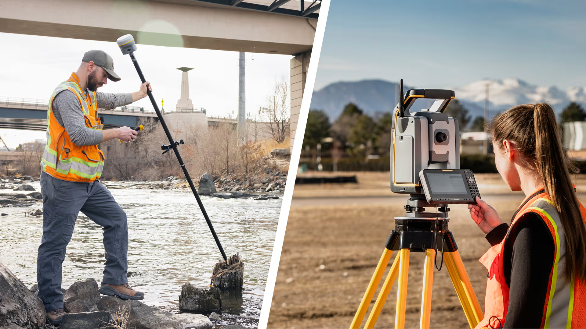
GNSS performs well in large open environments with strong satellite visibility, while optical surveying instruments are better suited to controlled alignment work in obstructed areas or dense urban environments.
The best solution depends on site conditions, visibility and the type of surveying work being completed:
| Surveying Requirement | Best-Suited Technology | Typical Use Case |
|---|---|---|
| Structural layout and alignment work | Optical surveying instruments | Construction set-out, utility alignment and controlled site positioning |
| Indoor, underground or obstructed environments | Optical surveying instruments | Tunnel work, dense urban sites and indoor surveying |
| Large open-area positioning | GNSS | Open construction sites, road corridors and agricultural surveying |
| Rapid terrain mapping across large areas | GNSS | Topographic surveys and wide-area land mapping |
Understanding Robotic Surveying Technology
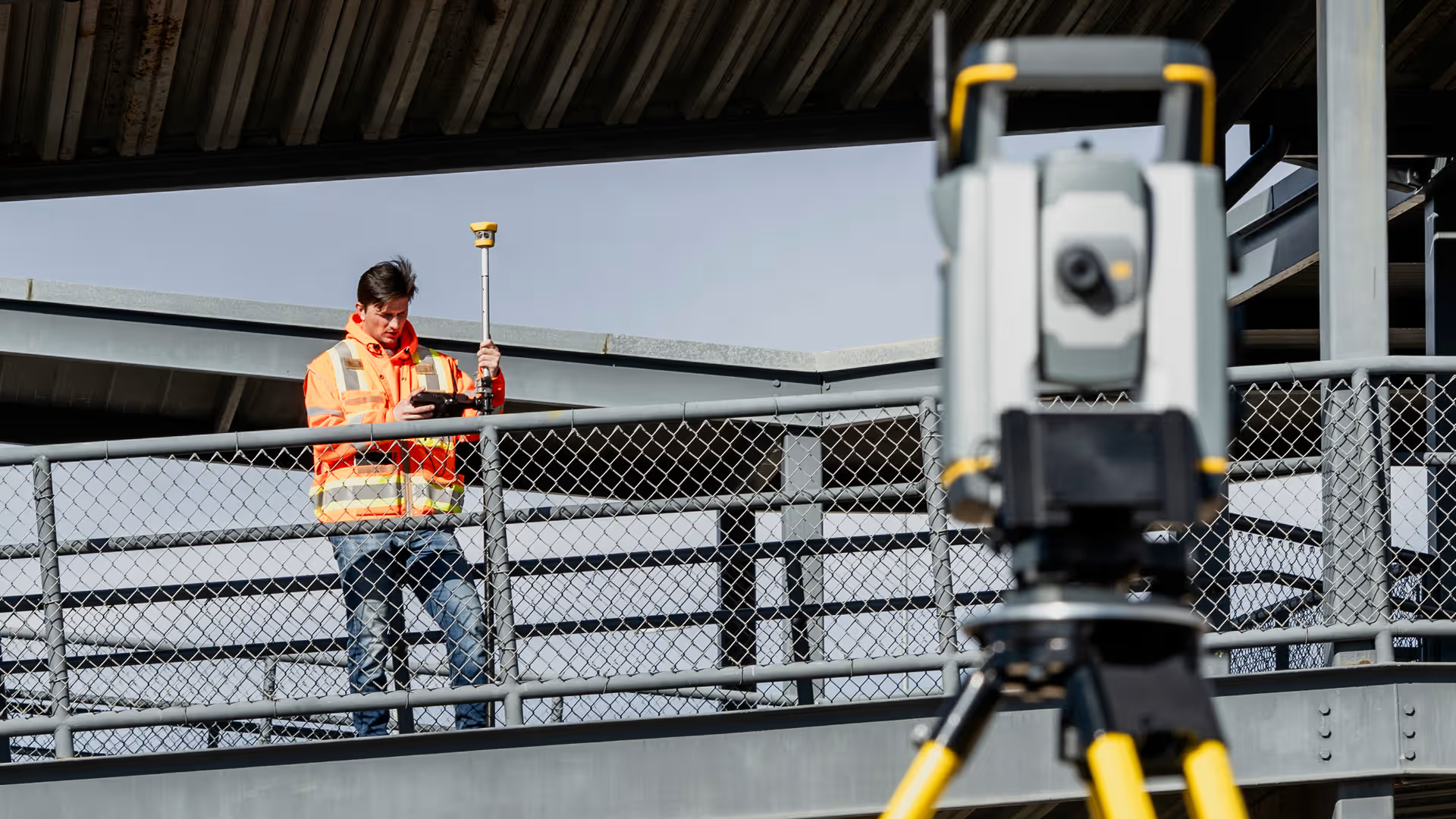
The rise of robotic surveying technology has changed how many teams operate in the field.
Unlike traditional systems that may require two operators, a robotic total station can automatically track prisms, enabling single-person operation.
Key operational advantages include:
– Single-operator efficiency: One surveyor can independently manage field measurements.
– Automated tracking: The system automatically follows the prism target.
– Faster data capture: Reduced setup and repositioning saves time on-site.
– Improved site safety: Limits unnecessary movement through active work areas.
Robotic instruments are particularly valuable on busy construction and infrastructure projects where crews need to move quickly between layout points.
What To Consider When Choosing a Total Station
Choosing surveying technology often comes down to your project requirements and the level of on-site verification needed. The right solution can also help teams work more smoothly in demanding field environments.
A few operational considerations can help narrow down the best option for your requirements:
-
Accuracy requirements: Different projects require different tolerance levels.
-
Site conditions: Terrain and visibility affect equipment performance.
-
Automation needs: Robotic systems can improve productivity on larger sites.
-
Software compatibility: Systems should integrate smoothly with existing tools.
-
Support and training: Reliable technical support improves long-term value.
Experienced surveying technology providers can also help teams choose technology suited to current workflows, project requirements and future operational needs.
Frequently Asked Questions
Professionals evaluating surveying equipment often have similar questions when comparing solutions.
Explore Modern Surveying Solutions With OPTRON
Advanced surveying technology helps your team maintain precise layouts and reduce the need for repeated field checks in demanding site environments. Better field coordination also helps projects move more efficiently as site conditions change.
Contact our team to explore OPTRON’s Trimble Total Stations solutions for your surveying and site requirements.