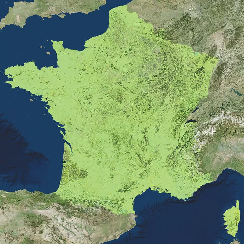
Advanced Ground Displacement Monitoring Solutions
Access industry-leading satellite radar technology through TRE ALTAMIRA, delivered locally by OPTRON. Gain reliable, wide-area ground movement insights that support risk mitigation, infrastructure protection, and informed decision-making across critical assets and environments.
Need a Quote?
We’ll Call You
Simply enter your contact details and one of our specialists will call you to discuss your requirements and provide a detailed quotation.
Need a Quote?
We’ll Call You
Simply enter your contact details and one of our specialists will call you to discuss your requirements and provide a detailed quotation.
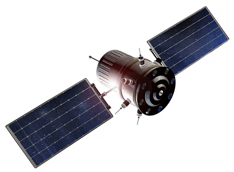
Industry-Leading INSAR Monitoring Solutions
TRE ALTAMIRA sets the global benchmark in INSAR Monitoring, delivering precise ground displacement insights using advanced satellite radar technology. By leveraging long-term satellite data and proven interferometric techniques, these solutions enable continuous, wide-area monitoring of surface movement with millimetre-level accuracy.
Through OPTRON, organisations gain access to reliable, data-driven intelligence that supports infrastructure stability, risk mitigation, and informed decision-making across mining, urban development, transportation, and critical assets.
-

Satellite Deformation Monitoring InSAR Monitoring
Unlike visible or infrared light, radar waves penetrate most weather clouds and are equally effective in darkness. Therefore, with InSAR it is possible to track ground deformation even in bad weather and at night.
-
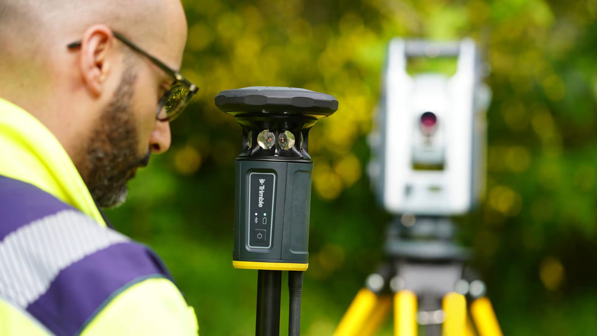
Introducing the new ST30 Smart Target
Trimble recently announced the new ST30 Smart Target – a leap forward in field technology to maximise daily output and solve common challenges with confidence. -
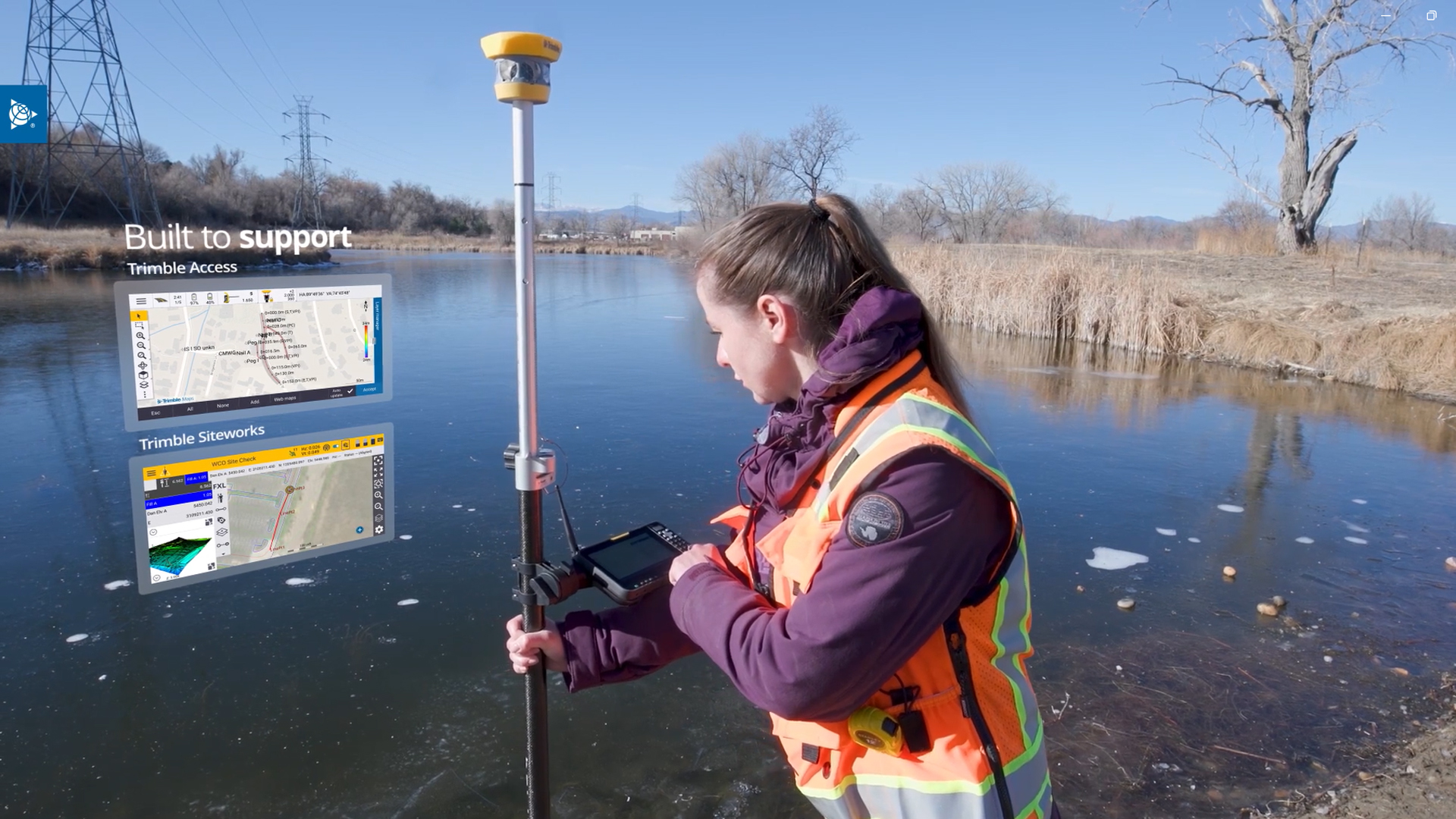
Meet the new Trimble T70
Designed as a permanent installation, the FiX1 is used to automate the delivery of volumetric data without the need for additional personnel and measurement tools. -
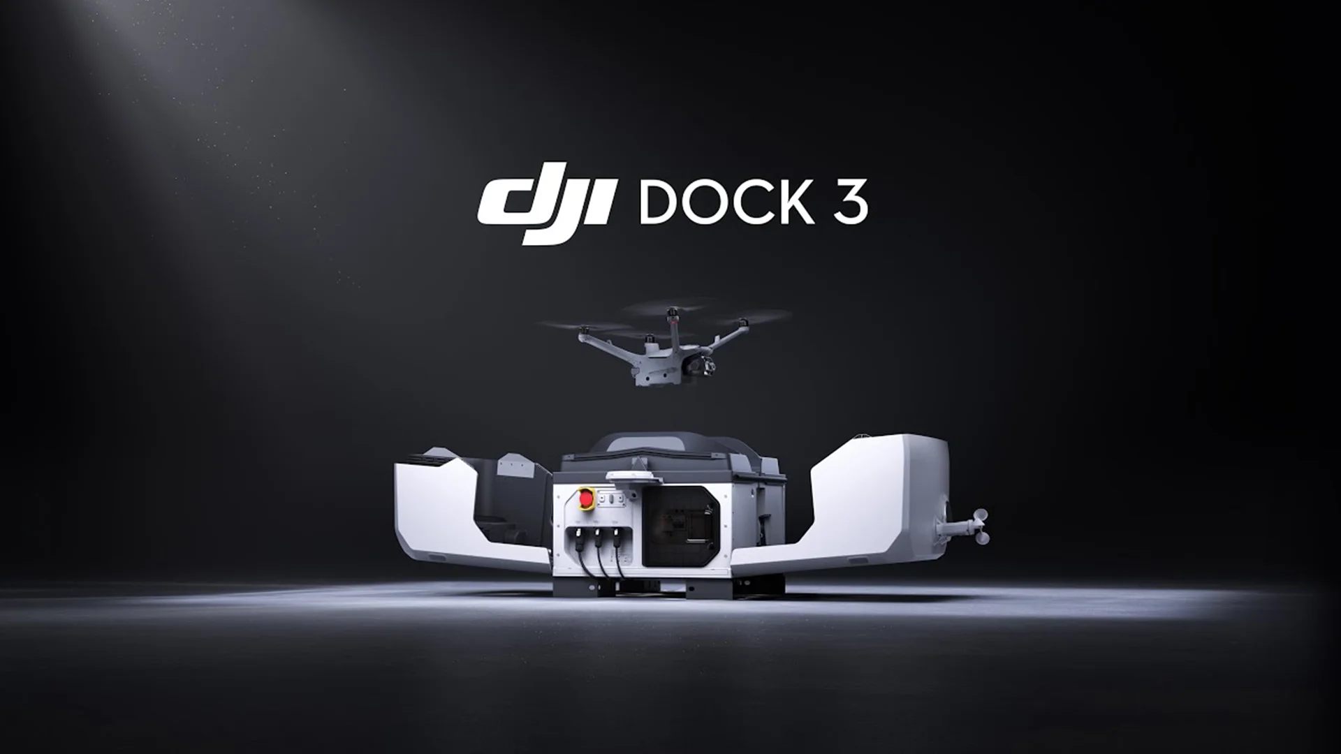
New DJI Dock 3
DJI today launched the DJI Dock 3 that, for the first time, supports mobile vehicle-mounted deployment. -

DJI announces the Mavic 3 Enterprise Series Drones
DJI has officially launched a lightweight and versatile entry-level enterprise drone designed for commercial use. -

A Breakthrough in Long-Range, High-Accuracy Aerial LiDAR
DJI announces the new Zenmuse L3, a next-generation aerial LiDAR system designed for unmatched range, precision, and efficiency. -

Reutech Mining announces the new MSR Halo
Reutech Mining has unveiled its latest innovation in slope stability monitoring: the MSR Halo, a next-generation Synthetic Aperture Radar (SAR) system engineered to redefine performance and reliability in mine safety. -
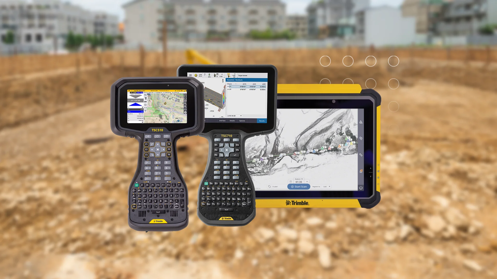
New Trimble Field Controllers
Trimble recently introduced a new line of data collectors, ushering in a new level of productivity and connectivity for geospatial and construction industries. -
EagleNXT announces rebrand to reflect Strategic Evolution
Trimble recently introduced a new line of data collectors, ushering in a new level of productivity and connectivity for geospatial and construction industries. -

DJI Announces the New Matrice 400
Trimble recently introduced a new line of data collectors, ushering in a new level of productivity and connectivity for geospatial and construction industries. -
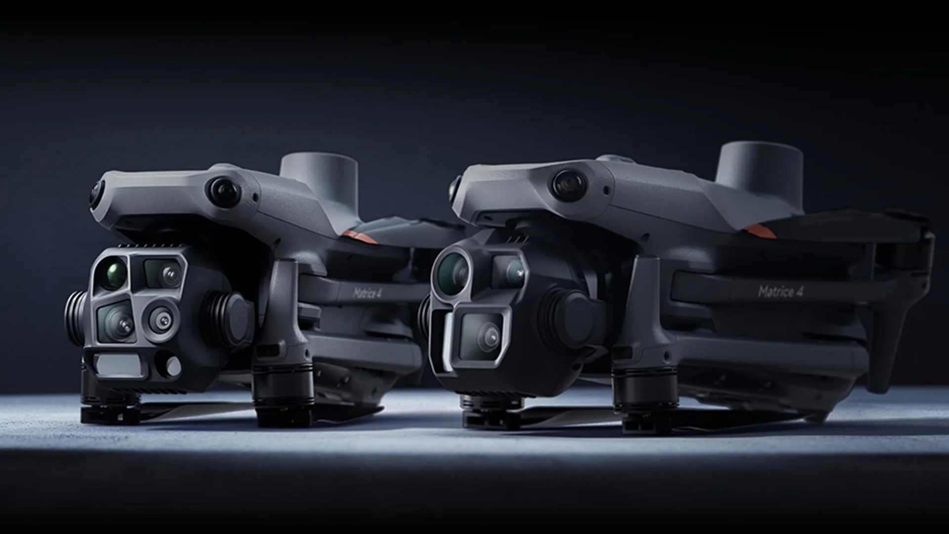
New DJI Matrice 4 Series
The new Matrice 4 Series enterprise drones, featuring cutting-edge AI technology and a suite of capabilities aimed at improving aerial operations across various industries. -

Carlson announces new Boretrak®3
Carlson LMD announces their Boretrak®3 borehole measurement solution – a single, all-purpose unit capable of measuring boreholes in any inclination: down, up or horizontal. -

The new Trimble R980 is here
Trimble today introduced the Trimble R980 GNSS system, the newest addition to its Global Navigation Satellite System (GNSS) receiver portfolio. -
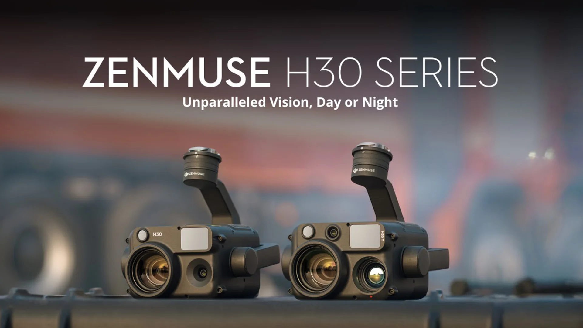
New payload from DJI Enterprise
DJI today launched the new Zenmuse H30 Series – their latest all-weather, full-day, multi-sensor payload. -
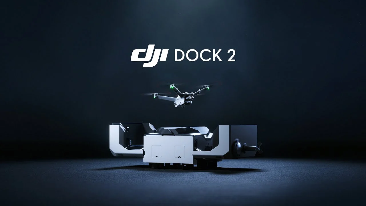
New DJI Dock 2
DJI today launched the DJI Dock 2 to the global market, taking automatic drone operations to new heights. -
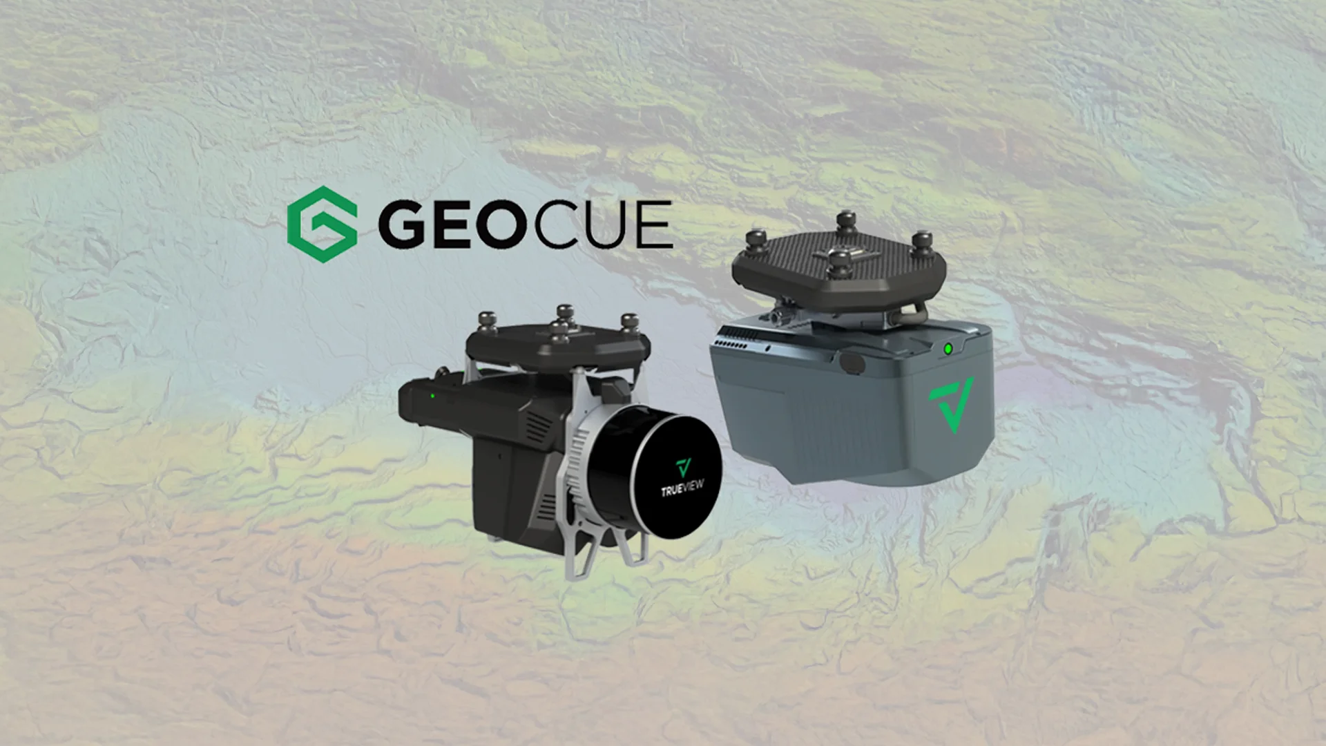
Latest GeoCue product portfolio
GeoCue announces exciting updates to their LiDAR and software product portfolio.
Everything You Need to Know About TRE ALTAMIRA
Connect with OPTRON
Empower your operations with TRE ALTAMIRA’s advanced INSAR Monitoring solutions, powered by cutting-edge satellite radar technology and delivered through OPTRON.
Contact us today to discover how satellite-based ground displacement monitoring can enhance risk visibility, improve data-driven decision-making, and support safer, more resilient infrastructure across your mining, infrastructure, environmental and urban development projects.