



Professional drone platforms for accurate aerial data collection
Through our three centers of excellence focused on best-in-class flight hardware, sensors and software, EagleNXT is delivering innovative autonomous robotics solutions that improve the automation of data collection and derivation of actionable insight that help to solve problems for our customers.
Founded in 2010, EagleNXT was originally formed to pioneer proprietary, professional-grade, fixed-winged drones and aerial imagery-based data collection and analytics solutions for the agriculture industry. Today, EagleNXT. is a leading provider of full stack drone solutions for customers worldwide in the energy, construction, agriculture, and government verticals.
-
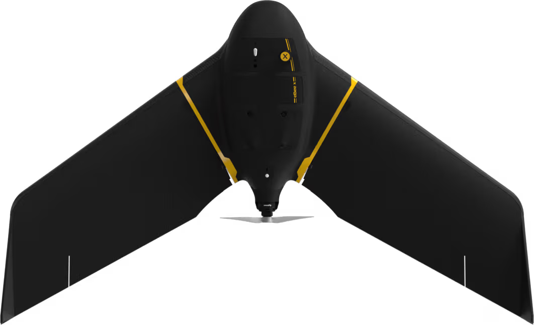
eBee X
eBee X offers 90-minute flights, RTK, PPK, online training, eMotion flight planning software, and more. -

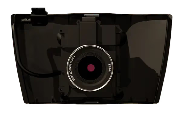
S.O.D.A. 3D
The S.O.D.A. 3D mapping camera is a professional drone photogrammetry camera that changes orientation during flight. -

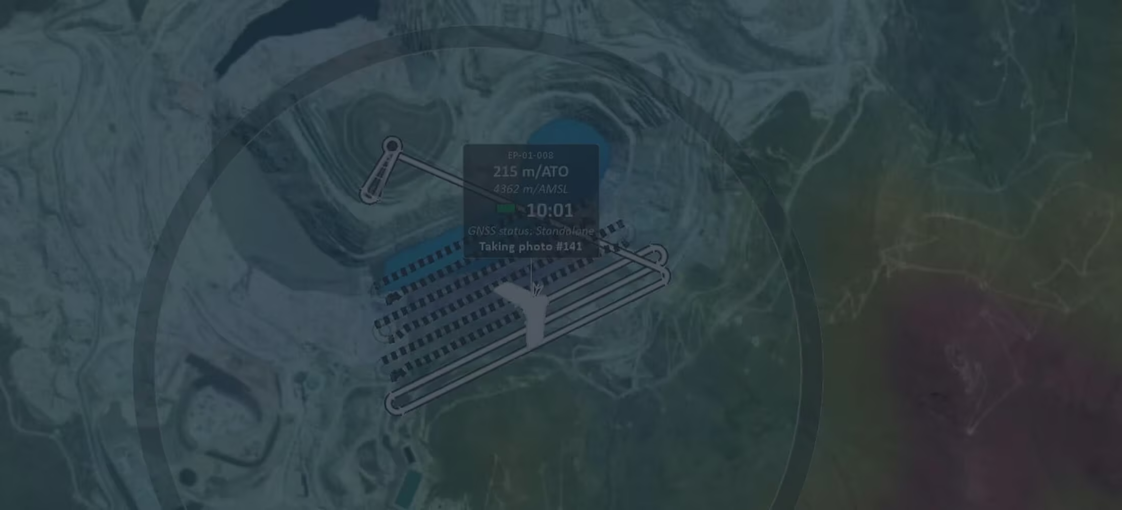
eMotion
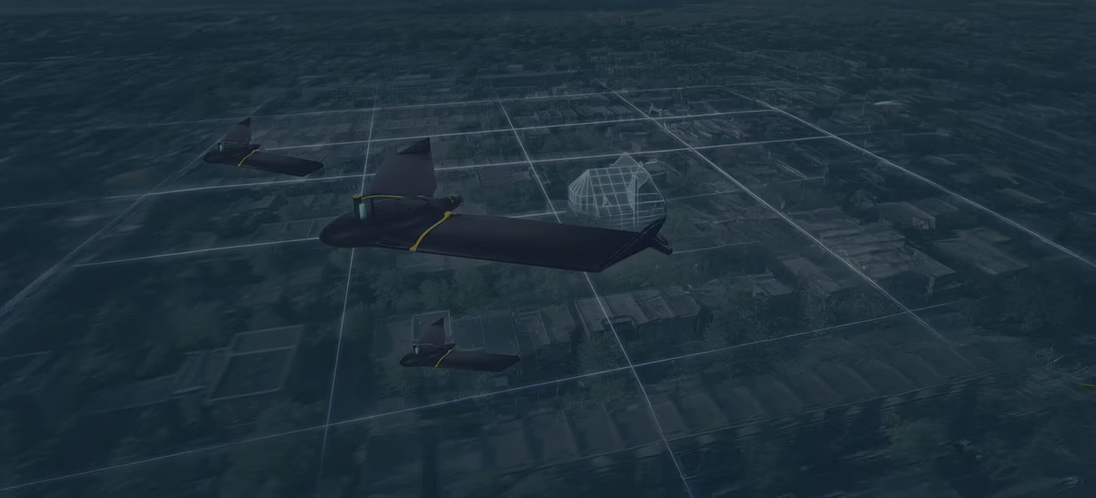
A drone’s flight management (or ground station) software defines your experience—if this is complicated or confusing, operations can quickly become a chore.
-
EagleNXT announces rebrand to reflect Strategic Evolution
Trimble recently introduced a new line of data collectors, ushering in a new level of productivity and connectivity for geospatial and construction industries. -

AgEagle acquires senseFly
Trimble recently introduced a new line of data collectors, ushering in a new level of productivity and connectivity for geospatial and construction industries. -

senseFly launches the NEW eBee X
At InterDrone 2018 in Las Vegas, senseFly officially launched the eBee X – a revolutionary new fixed-wing drone for all aerial mapping applications. -

Optimized Workflow for Geospatial Drone Operators
senseFly, the world’s leading producer of professional drone solutions, recently announced a new software integration with Trimble Business Centre software.
Everything You Need to Know About EagleNXT
Connect with OPTRON
Empower your operations with EagleNXT’s advanced drone platforms, sensors and aerial intelligence solutions, available through OPTRON.
Contact us today to discover how EagleNXT technology can enhance data accuracy, streamline aerial workflows and support smarter decision-making across your surveying, agriculture, mining, infrastructure and environmental projects.
