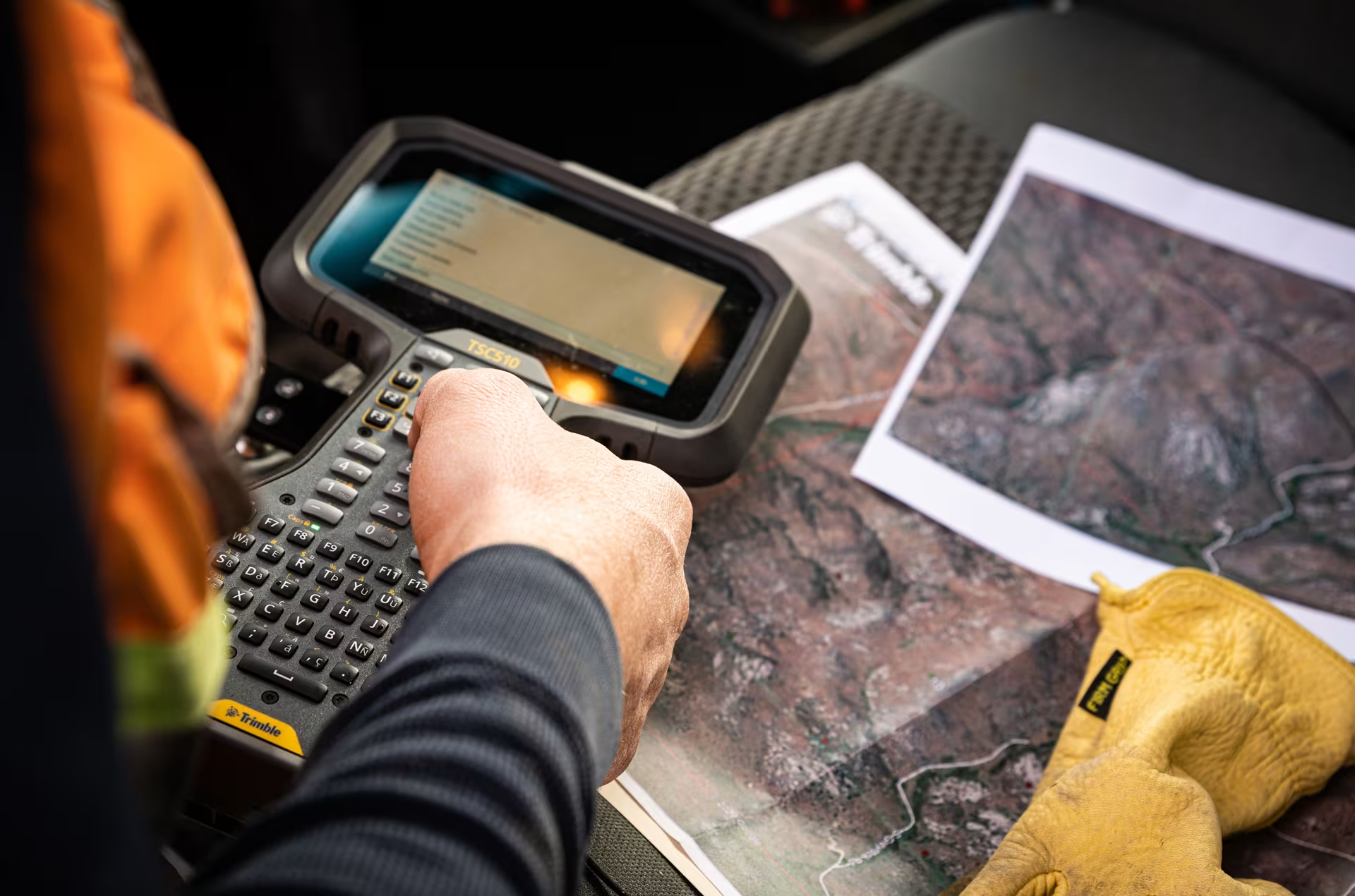
Contact OPTRON to find out more about our complete range of Survey Solutions!
Surveying professionals are under increasing pressure to deliver accurate, reliable data while working in challenging environments, managing tight project schedules and meeting increasingly complex project requirements. From rugged terrain and obstructed satellite signals to inaccessible structures and outdated site information, these challenges can affect productivity, project costs and the quality of the final deliverables.
Fortunately, advances in Geospatial Technology are providing surveyors with new ways to overcome these obstacles. Modern GNSS receivers, robotic total stations, drone mapping, laser scanning and integrated data-processing software are helping professionals capture, process and deliver spatial information more efficiently.
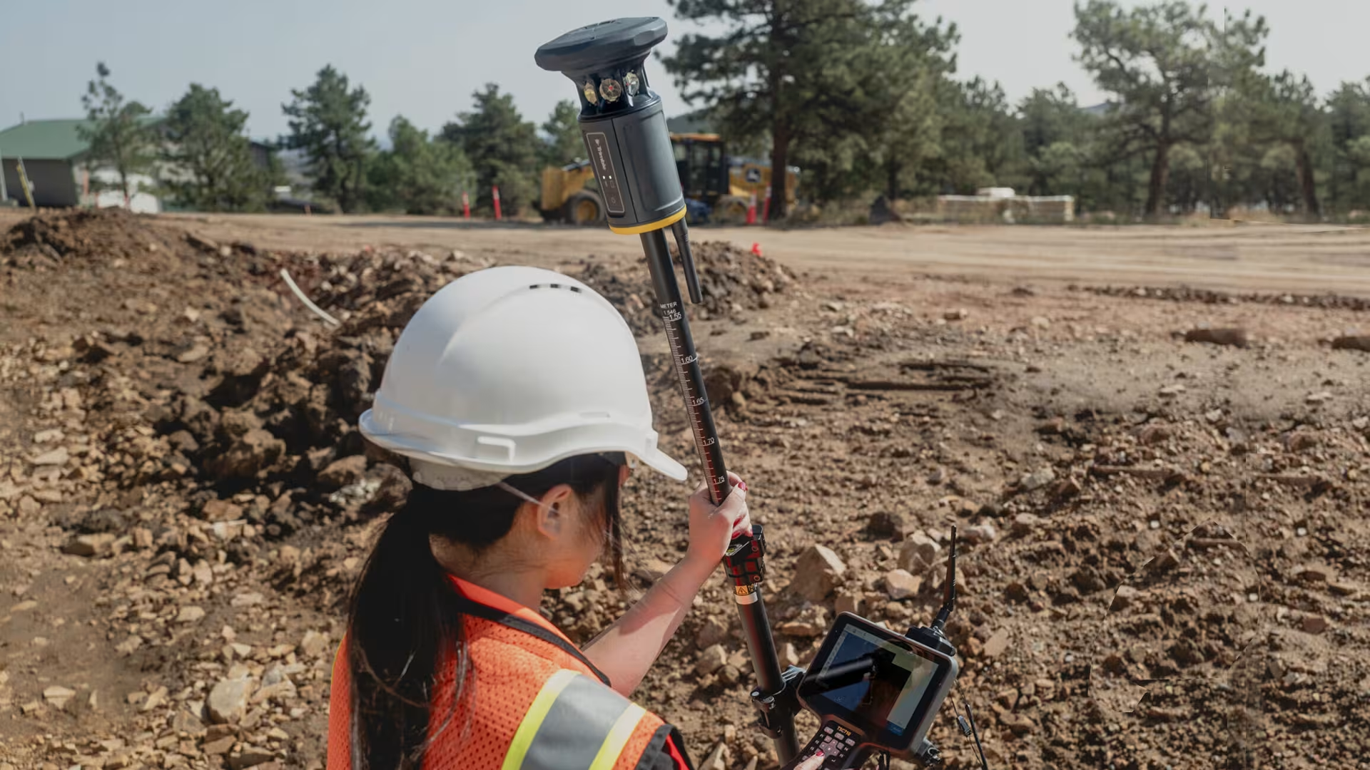
Here are five common surveying challenges and the technologies that can help solve them:
1. Difficult Terrain and Challenging Site Conditions
The Challenge
Surveying in mountainous areas, dense vegetation, remote locations, open-cast mines and uneven construction sites can be time-consuming and physically demanding. Difficult access can limit where surveyors can safely position their instruments, while steep slopes, loose ground and environmental conditions can complicate measurements.
Traditional surveying methods may require numerous instrument setups and repeated site visits to capture sufficient data, increasing the time and cost required to complete a project.
The Technology Solution
Modern surveying technologies offer several ways to improve data collection in difficult environments:
-
GNSS Surveying Systems: High-precision GNSS receivers enable surveyors to determine positions quickly in suitable satellite-reception conditions, reducing the need for extensive ground control traverses.
-
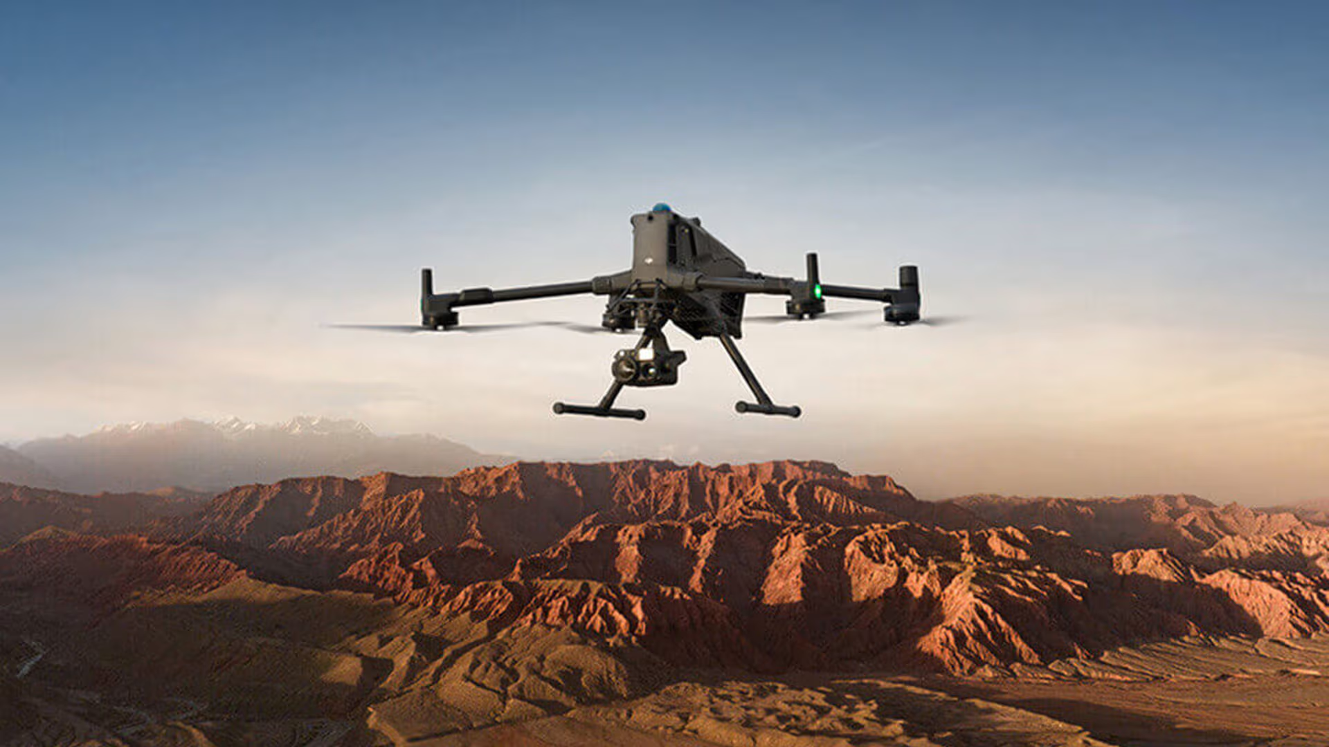
Drone Mapping and Photogrammetry: Drones can capture aerial imagery over large or difficult-to-access areas, allowing surveyors to generate orthomosaics, digital terrain models and 3D surface models.
-
Airborne and Terrestrial LiDAR: Laser scanning captures dense spatial measurements, making it possible to document complex terrain, stockpiles, slopes and other features in three dimensions.
-
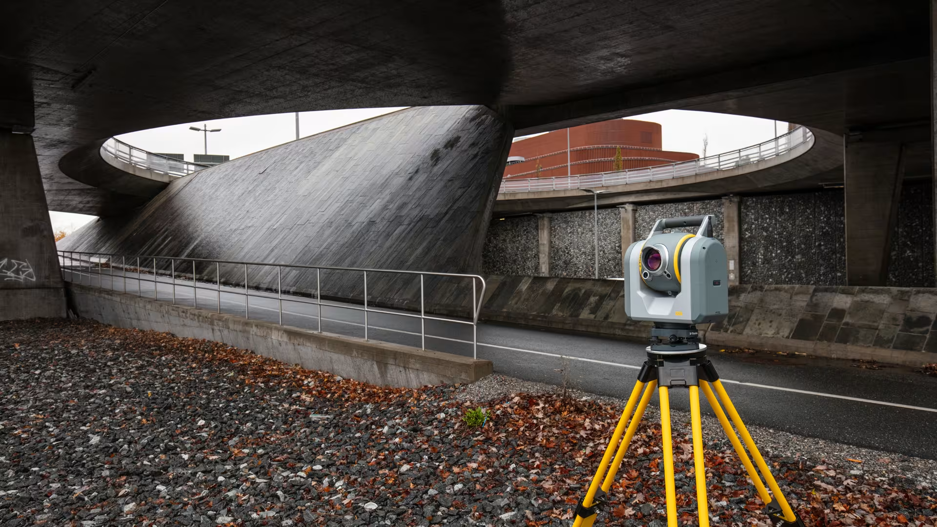
Robotic Total Stations: Automated tracking and remote operation can reduce the need for additional personnel and improve efficiency where satellite positioning is unreliable or where precise measurements are required.
The Benefit
By selecting the right combination of technologies, surveying teams can reduce time spent accessing difficult areas, minimise repeated fieldwork and obtain more comprehensive spatial data.
The key is choosing the appropriate solution for the terrain, required accuracy, site conditions and intended deliverables. For example, drone mapping may be well suited to large open areas, while terrestrial scanning can provide detailed measurements of complex structures or areas requiring closer inspection.
2. Obstructed GNSS Signals and Poor Satellite Reception
Precise angle measurement is fundamental to site positioning. Terrain and project scale both influence how the instrument is applied in the field.
The Challenge
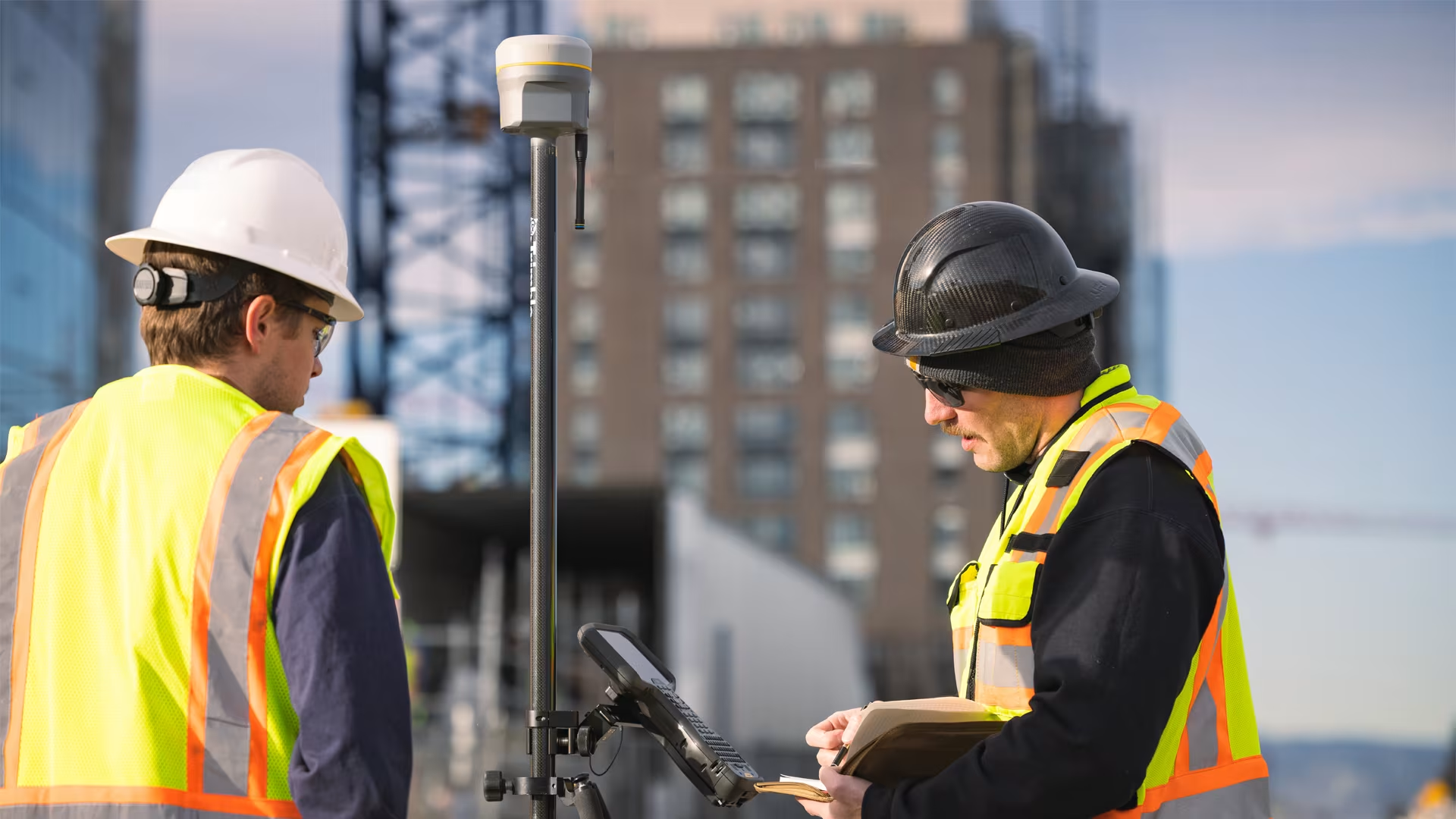
GNSS positioning has become an essential part of modern surveying, but satellite signals can be obstructed or degraded by tall buildings, bridges, dense tree canopies, deep excavations and other physical obstacles.
Reflected signals, commonly known as multipath, can also introduce positioning errors. In urban environments, this can make it difficult to maintain a reliable fixed solution or achieve the required accuracy consistently.
For surveyors working between buildings, beneath infrastructure or within mining environments, relying exclusively on GNSS positioning may not be practical.
The Technology Solution
Several complementary technologies can help maintain productivity when satellite reception is limited:
-
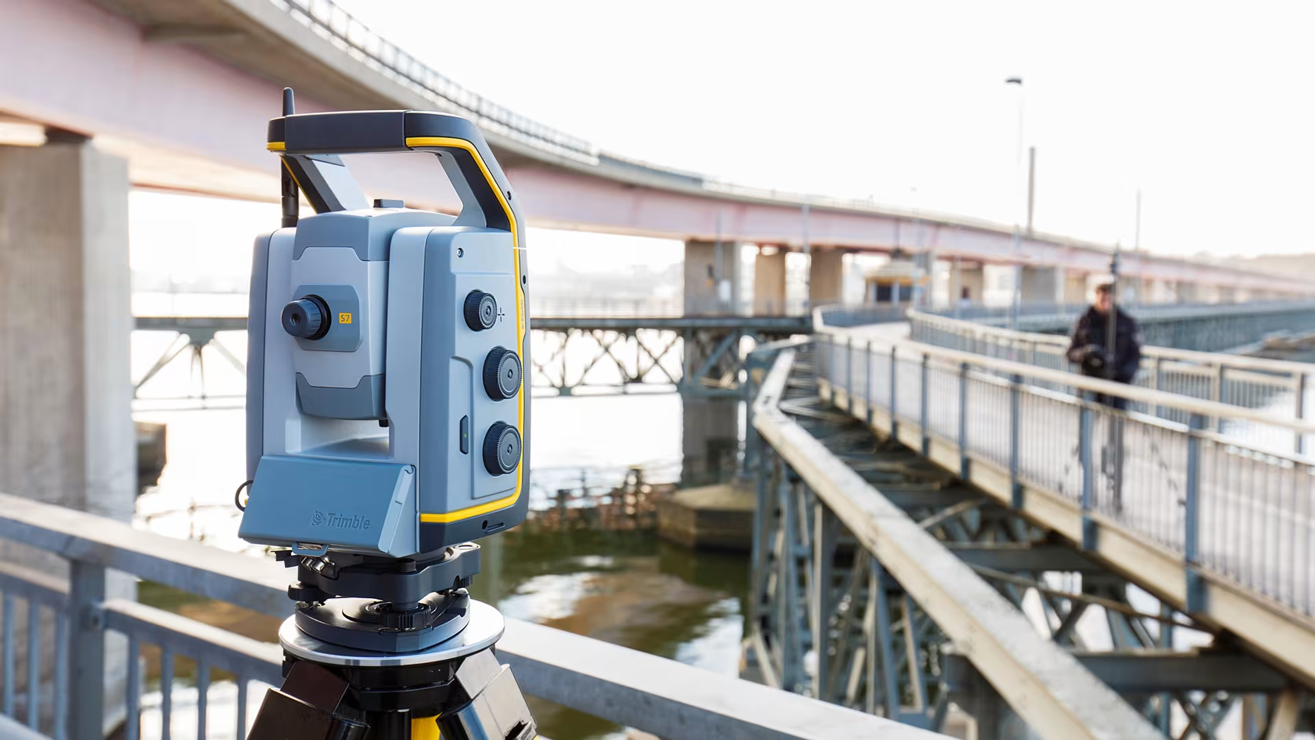
Robotic Total Stations: These instruments use precise angle and distance measurements to determine positions from established control points, making them particularly useful where satellite visibility is restricted.
-
Multi-constellation, Multi-frequency GNSS Receivers: Access to signals from multiple satellite constellations and frequencies can improve positioning availability and resilience under challenging conditions, although severe obstructions may still prevent reliable fixes.
-
Inertial Measurement Systems: When integrated into suitable mapping equipment, inertial sensors help estimate movement and orientation during short periods of degraded GNSS reception. Position uncertainty can increase over time without reliable external corrections.
-
Terrestrial Laser Scanners and SLAM-based Mobile Mapping: These technologies capture surrounding geometry and can estimate scanner movement relative to the environment, supporting mapping in locations where GNSS is unavailable. Results still require appropriate control, registration and quality checks.
The Benefit
Using complementary positioning technologies allows surveyors to select the most suitable measurement method for each part of a site rather than relying on a single instrument throughout the project.
For example, GNSS may be used to establish site control in open areas, while a robotic total station or controlled laser-scanning workflow can capture measurements in obstructed zones.
This integrated approach can improve field productivity while maintaining the quality and reliability of the survey data.
3. Inaccessible Structures and Hazardous Environments
The Challenge
Surveyors frequently need to measure structures that are difficult, dangerous or impractical to access. These may include bridges, high-rise façades, industrial plants, mine voids, steep rock faces, confined spaces and ageing infrastructure.
Traditional methods can require scaffolding, rope access, elevated work platforms or personnel entering potentially hazardous areas. Such approaches can increase project costs, introduce safety risks and make comprehensive data collection difficult.
In some environments, even physically reaching the measurement location may be impossible.
The Technology Solution
Remote and non-contact measurement technologies can capture detailed spatial information while reducing the need for direct physical access:
-
Terrestrial Laser Scanning: Captures millions of three-dimensional measurements from suitable scanner positions, enabling the documentation of complex structures, industrial installations and difficult-to-reach surfaces.
-
Mobile Mapping Systems: Combine laser scanning, cameras and positioning or motion-estimation technologies to capture spatial data efficiently while moving through accessible areas.
-
Drone-based Photogrammetry and LiDAR: Provide aerial perspectives of roofs, façades, bridges, slopes and other elevated or hazardous features, subject to suitable equipment, operating conditions and regulatory requirements.
-
Specialised Underground Scanning Systems: Designed for applications such as mine void surveys, these systems can capture the geometry of inaccessible cavities from a safer operating position, reducing the need for personnel to enter potentially unstable areas.
-
Remote Monitoring Instruments: Robotic total stations, GNSS monitoring equipment and other sensors can measure movement over time at selected infrastructure or geotechnical sites.
The Benefit
Remote measurement technologies can improve site safety, reduce the need for access equipment and capture more comprehensive information about complex environments.
For mining operations in particular, specialised underground scanning can support the investigation of unknown or poorly documented voids and help update historical mine plans. This information can contribute to safer planning and decision-making, although it should always be assessed alongside appropriate engineering and mine-safety procedures.
Similarly, laser scanning can provide engineers with detailed as-built information about industrial facilities, helping them plan modifications and assess clearances without repeatedly measuring individual components by hand.
4. Outdated Survey Data and Inaccurate Existing Plans
The Challenge
Many construction, engineering and mining projects rely on existing drawings, historical survey records or legacy digital models. Over time, however, sites change. Buildings are modified, infrastructure is extended, terrain is reshaped and mining excavations progress.
When existing documentation does not reflect current site conditions, project teams may encounter design clashes, incorrect measurements, unexpected site conditions and costly rework.
This is particularly important when planning renovations, infrastructure upgrades, mine extraction activities or engineering modifications to existing facilities.
The Technology Solution
Modern reality-capture technologies make it possible to compare existing documentation with actual site conditions and create updated records:
-
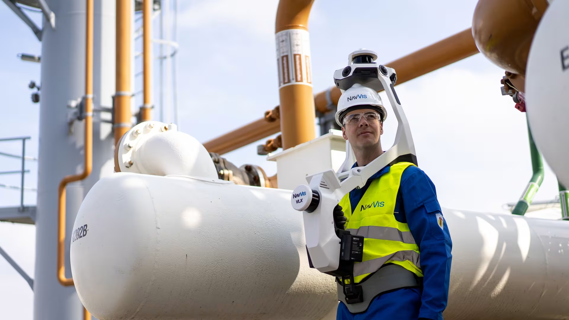
3D Laser Scanning: Captures detailed point clouds that represent the geometry of existing buildings, industrial facilities, underground workings and other structures.
-
Drone Surveying: Provides updated aerial imagery and surface models for large sites, including mines, quarries, construction developments and infrastructure corridors.
-
Mobile Mapping: Enables efficient documentation of roads, buildings, corridors and other environments where spatial information must be captured across extensive areas.
-
Scan-to-BIM and 3D Modelling: Converts captured point-cloud data into usable digital representations for engineering, design, construction and facilities management.
-
Change Detection and Data Comparison: Allows new survey information to be compared with historical plans, previous scans or design models to identify differences that require investigation.
The Benefit
Updating existing survey information gives project teams a more reliable representation of current conditions. It can help identify discrepancies before work begins, improve design coordination and reduce the risk of costly assumptions.
In mining, for example, specialised cavity scanning can help verify the extent of underground workings where historical plans are incomplete or uncertain. The resulting information can support the updating of mine plans and the assessment of remnant pillar extraction opportunities.
In construction and industrial engineering, accurate as-built data can improve design decisions, reduce site rework and provide a valuable digital record for future maintenance and upgrades.
The important consideration is that captured data must be correctly georeferenced, validated and interpreted before it is used for critical engineering or safety decisions.
5. Tight Project Deadlines and Increasing Data Requirements
The Challenge
Surveying teams are increasingly expected to capture more information in less time. Clients may require larger areas to be surveyed, more detailed deliverables, faster reporting and data that can be integrated directly into CAD, BIM, GIS or other project systems.
Traditional field methods can struggle to keep pace with these requirements, particularly when they involve numerous instrument setups, manual measurements, separate data-processing stages and repeated visits to site.
The challenge is no longer simply collecting measurements. It is delivering accurate, usable information quickly enough to support project decisions.
The Technology Solution
Integrated surveying workflows can help reduce delays between field data collection and final delivery:
-
High-speed Laser Scanning: Captures large volumes of spatial data in relatively short periods, reducing the need to measure every feature individually.
-
Drone Mapping: Covers large areas efficiently and can produce detailed surface models and orthomosaics for planning, progress tracking and volumetric calculations.
-
Automated Total Stations and modern GNSS Systems: Streamline routine measurement tasks and support efficient field workflows.
-
Cloud-based Collaboration and Data Management: Allow field teams, survey offices, engineers and project stakeholders to share information and coordinate work more effectively.
-
Automated Processing and Feature Extraction: Reduce repetitive manual tasks, although outputs must still be checked for completeness and accuracy.
-
Integrated Software Workflows: Help move data from the field into point-cloud processing, CAD, BIM, GIS and reporting environments with fewer unnecessary conversion steps.
The Benefit
Combining efficient data capture with streamlined processing can shorten turnaround times, reduce repetitive work and help teams deliver project information in a more usable format.
For example, a drone survey can provide an updated terrain model for a large construction site, while terrestrial scanning can capture detailed information about selected structures. Integrating these datasets into a coordinated workflow allows different project requirements to be addressed without relying on a single measurement method.
The greatest productivity gains often come from considering the entire process — from planning and field capture to quality assurance, processing and final delivery — rather than focusing on instrument speed alone.
Choosing the Right Technology for the Job
No single geospatial technology can solve every surveying challenge. The most effective approach depends on the site environment, required accuracy, project scale, safety considerations, available control and intended deliverables.
For some projects, a modern GNSS receiver may provide the most efficient solution. Others may require robotic total stations, drone mapping, terrestrial laser scanning or a combination of complementary technologies.
Before selecting a solution, surveying professionals should consider:
-
Accuracy requirements: What level of positional and dimensional accuracy is needed?
-
Site conditions: Are there obstructions, steep terrain, restricted access or hazardous areas?
-
Project scale: Is the priority high-detail measurement of a small structure or rapid coverage of a large site?
-
Data deliverables: Will the output be used for survey plans, point clouds, terrain models, BIM, GIS or volumetric calculations?
-
Workflow integration: Can the captured data be processed and delivered efficiently using the team’s existing software and systems?
-
Support and training: Is the equipment supported by appropriate technical expertise, training and maintenance?
Conclusion: Smarter Surveying Through Technology
The surveying industry continues to evolve as new technologies make it possible to capture more detailed spatial information, work more efficiently and address challenges that were once difficult or costly to overcome.
From drone mapping in difficult terrain to laser scanning in inaccessible environments, modern geospatial tools are helping surveyors improve data collection, update existing records and meet demanding project requirements.
However, technology alone is not the complete solution. Reliable results still depend on sound surveying practices, appropriate control, skilled operators, quality assurance and selecting the right equipment for the task.
By combining the right technologies with professional expertise, surveying teams can work more safely, make better use of their time and deliver accurate, dependable information that supports better decisions across construction, mining, engineering and infrastructure.
Looking to Improve your Surveying Workflow?
Contact Us to speak to one of our specialists to identify the right Geospatial Solution for your next survey project’s requirements.