Category: Industry
-
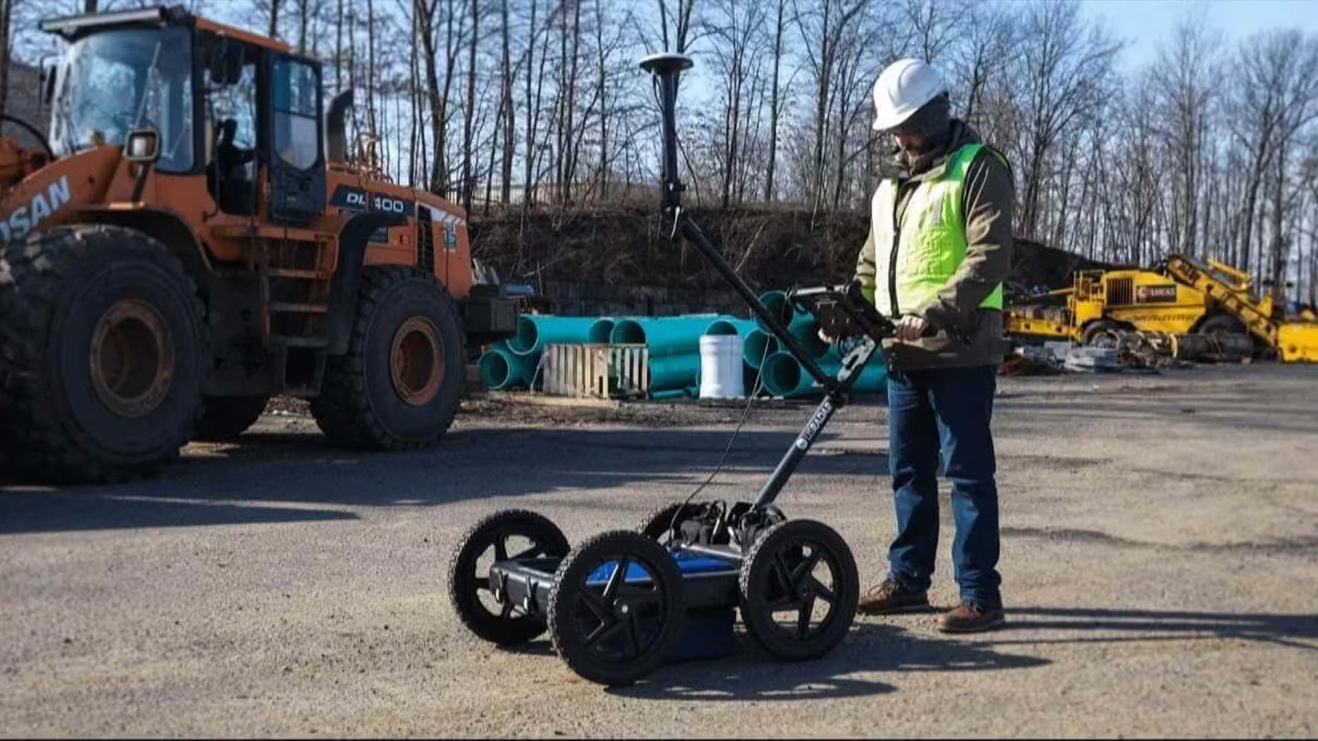
Ground Penetrating Radar Explained: Uses in Utility Detection and Subsurface Mapping
Ground-penetrating radar (GPR) provides valuable insight into subsurface features and conditions, helping surveyors, engineers, municipalities and contractors make more informed decisions during site investigation and project planning.
-

Surveying Instruments Explained: Essential Tools for Modern Surveyors
Accurate surveying depends on more than experience alone. Surveyors and Geospatial Professionals need reliable instruments to collect site data with certainty.
-
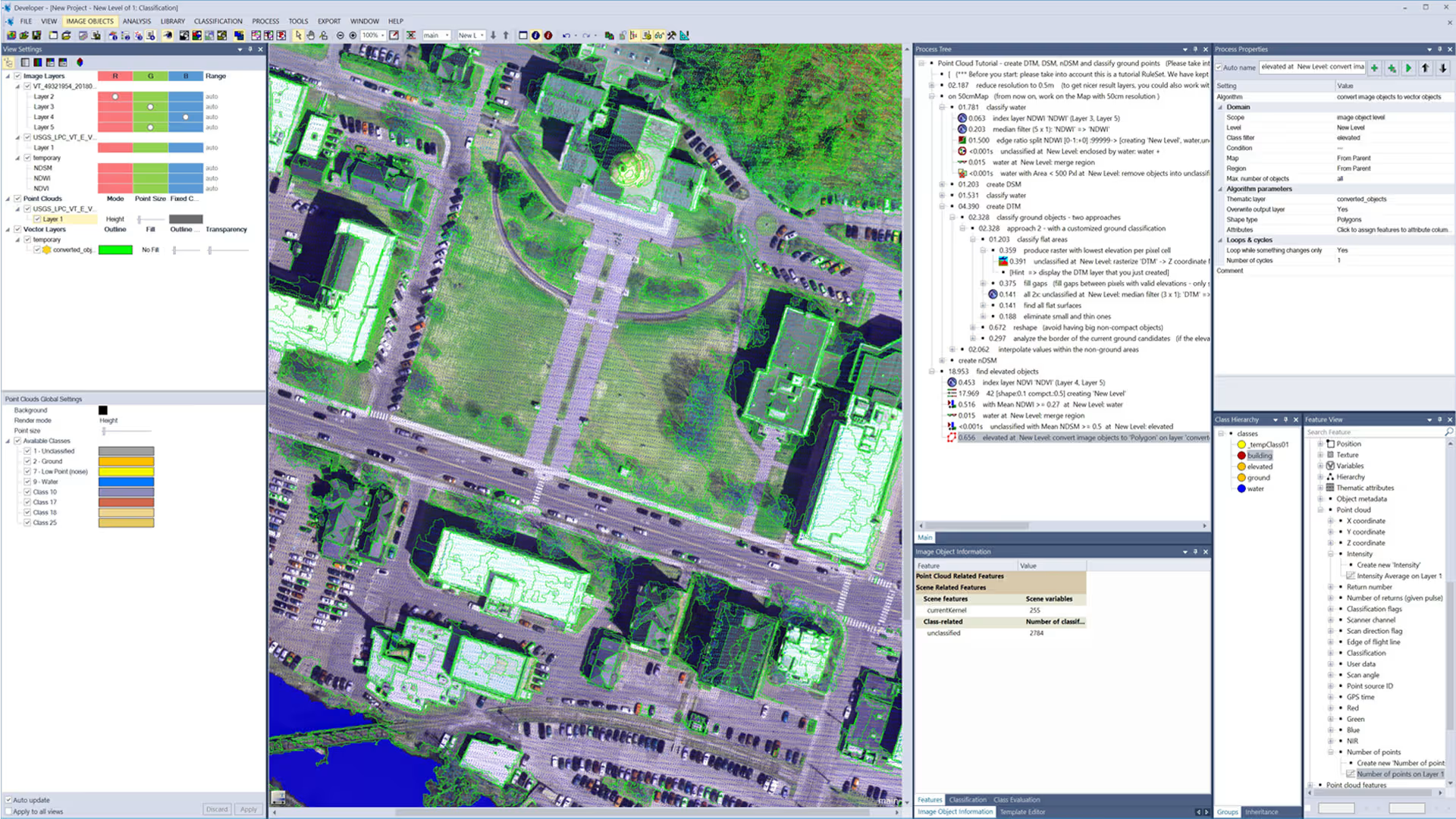
Remote Sensing in South Africa
Remote sensing is transforming how South African industries monitor, analyse, and respond to their environments. By providing large-scale, data-driven insights into land use, infrastructure, and changing environmental conditions, it enables organisations to make informed decisions with greater accuracy and confidence.
-

Mine Surveying in South Africa: Technology, Accuracy and Modern Mining Solutions
In this guide, we explore the role of surveying in mining operations, why accuracy and compliance matter in South African mining operations, and the technologies surveyors rely on. We also examine how OPTRON supports mining professionals with advanced Trimble mine surveying solutions.
-
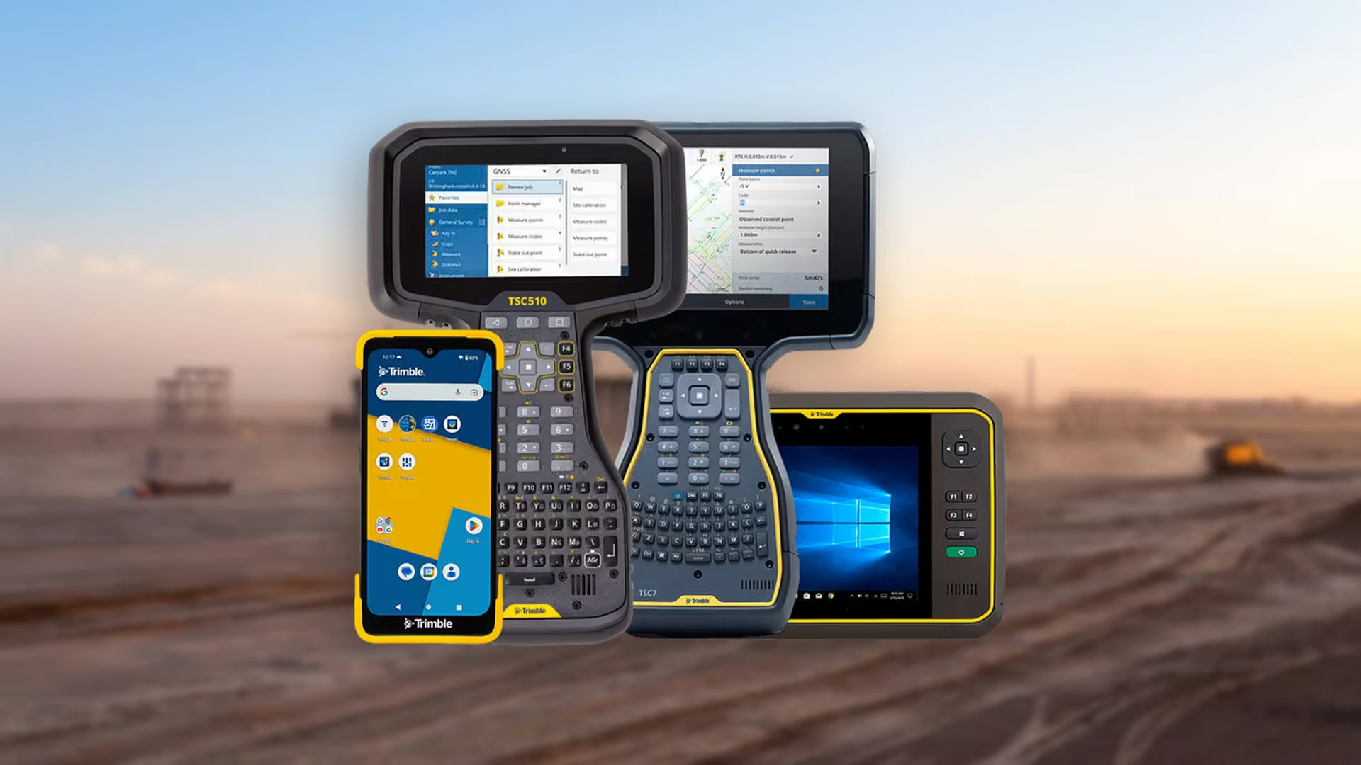
How a Land Surveyor Works: Roles, Requirements and Essential Tools
A land surveyor plays a vital role in shaping infrastructure, defining boundaries and guiding construction projects. Discover the key responsibilities, land surveyor requirements in South Africa, and the advanced tools that support precise, compliant measurements across industries.
-
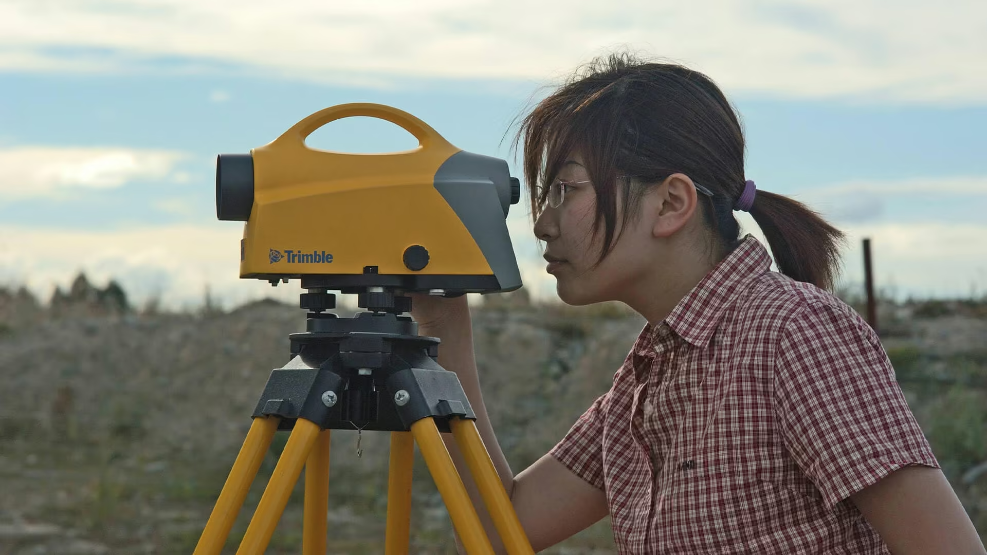
How to Choose the Best Level Tool for Your Project
Selecting the right level tool is key to achieving accurate results in construction and surveying. This guide compares spirit, laser and digital levels, explaining their uses, benefits and how to choose the best tool for your project.
-
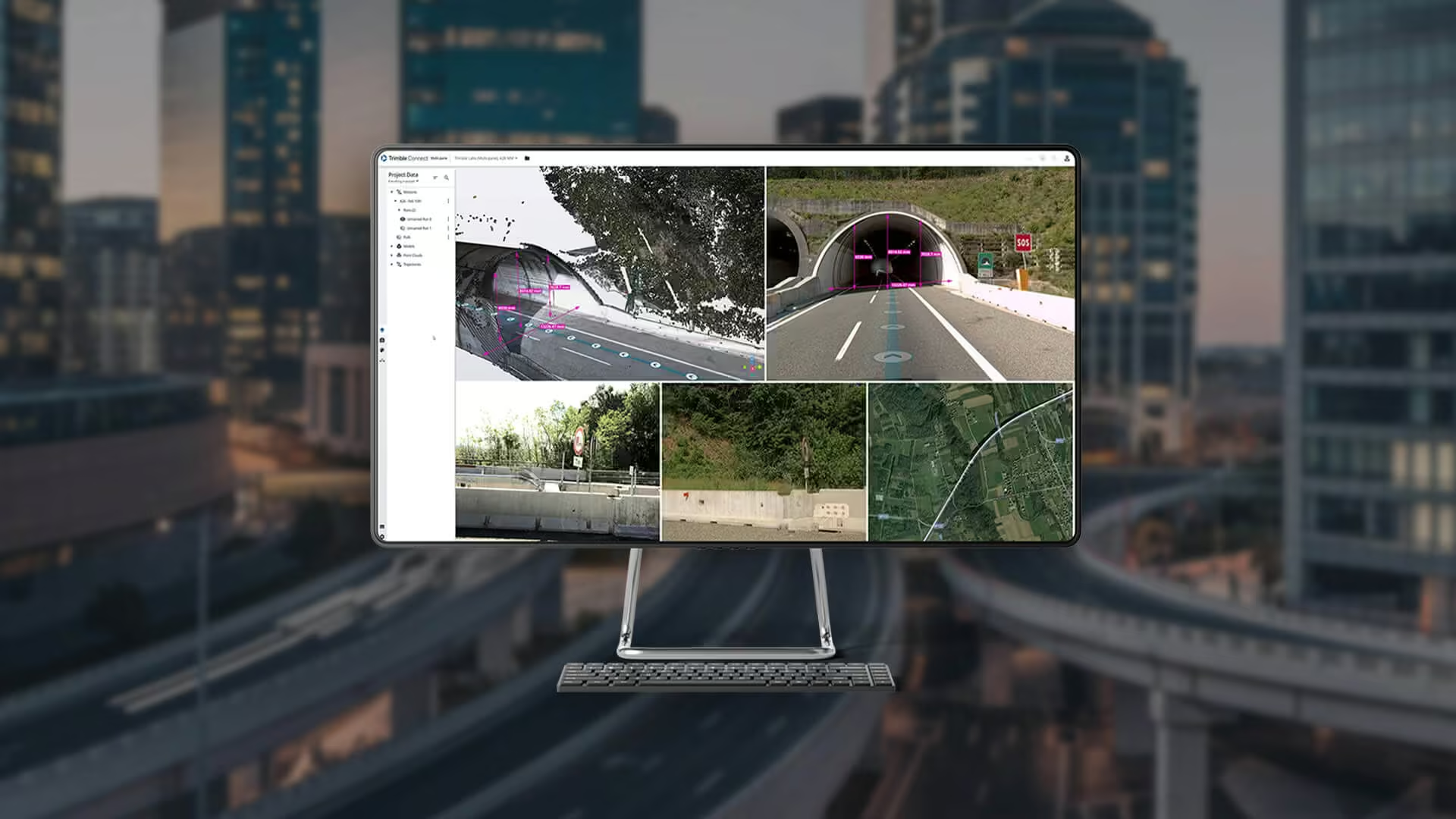
How Digital Data Management Is Changing Modern Surveying
Digital data management in surveying is transforming how projects are delivered. From seamless cloud workflows to smart survey software, OPTRON helps teams achieve faster results, improved accuracy and stronger collaboration across field and office.
-
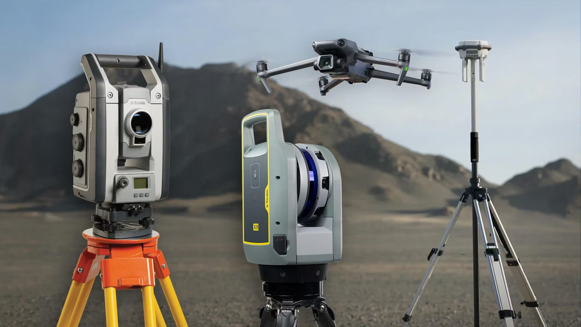
The Main Types of Survey Equipment Used in Modern Land and Construction Projects
Explore the essential types of survey equipment used by today’s professionals. From GNSS and total stations to 3D scanners and drones, learn how each tool supports more accurate, efficient, and data-driven surveying.
-
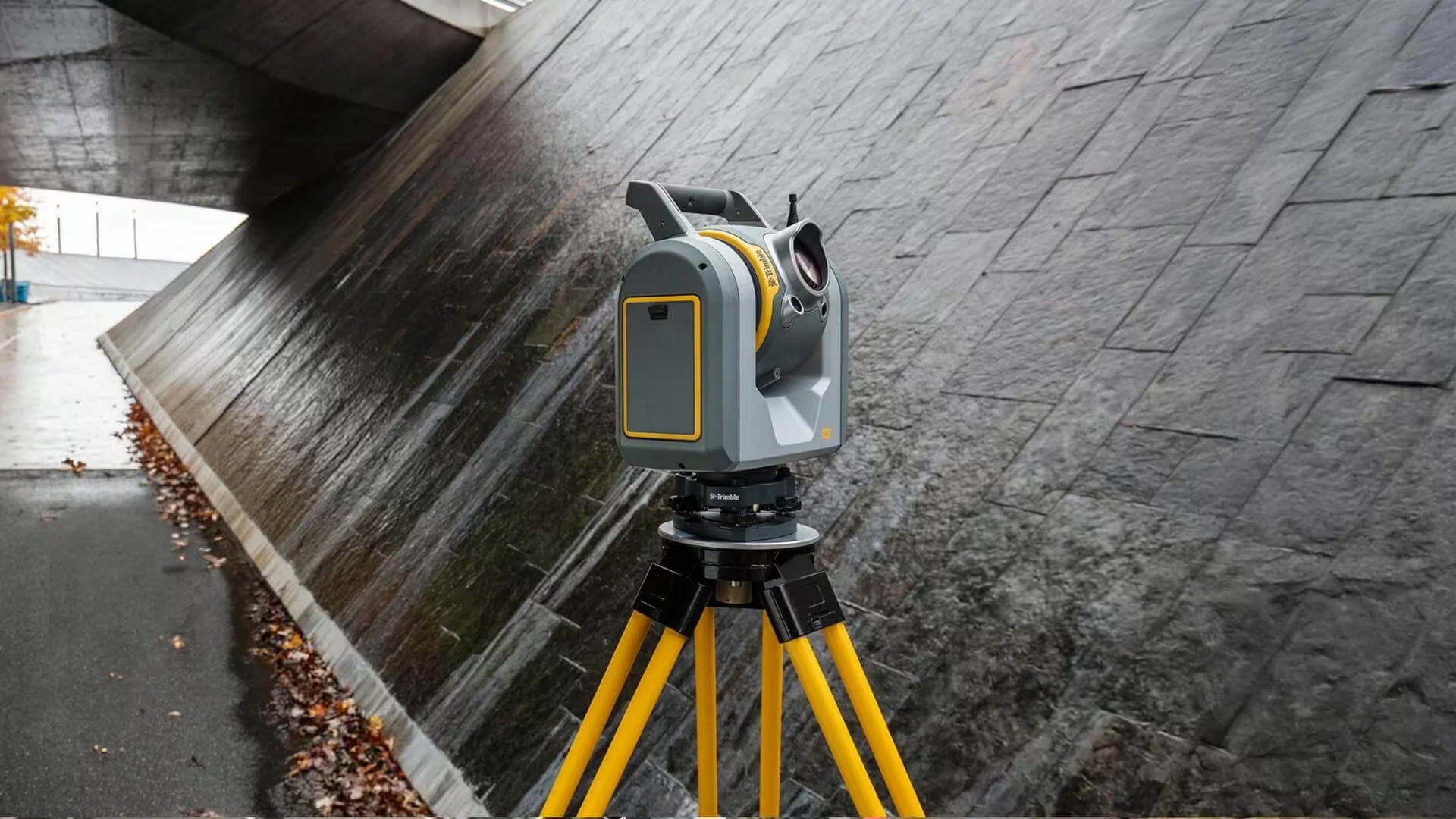
What to Look for When Choosing Survey Equipment for Your Project
When you’re tasked with delivering accuracy, efficiency and reliability on-site, having the right surveying equipment can make or break your project. Whether you’re working in construction, engineering, mining or cadastral surveying, making the right choice upfront ensures smoother workflows, fewer delays and better data outcomes.