Contact OPTRON to find out more about our complete range of Ground Penetrating Radar solutions!
Not every site condition is visible from the surface.
Before excavation begins, site assessments must account for underground infrastructure. Utilities and variations in ground conditions may affect excavation or construction plans, reinforcing the need to understand what lies below.
Ground-penetrating radar (GPR) gives surveyors, engineers, municipalities and contractors greater visibility of subsurface features and conditions, providing useful information for site investigation and project planning.
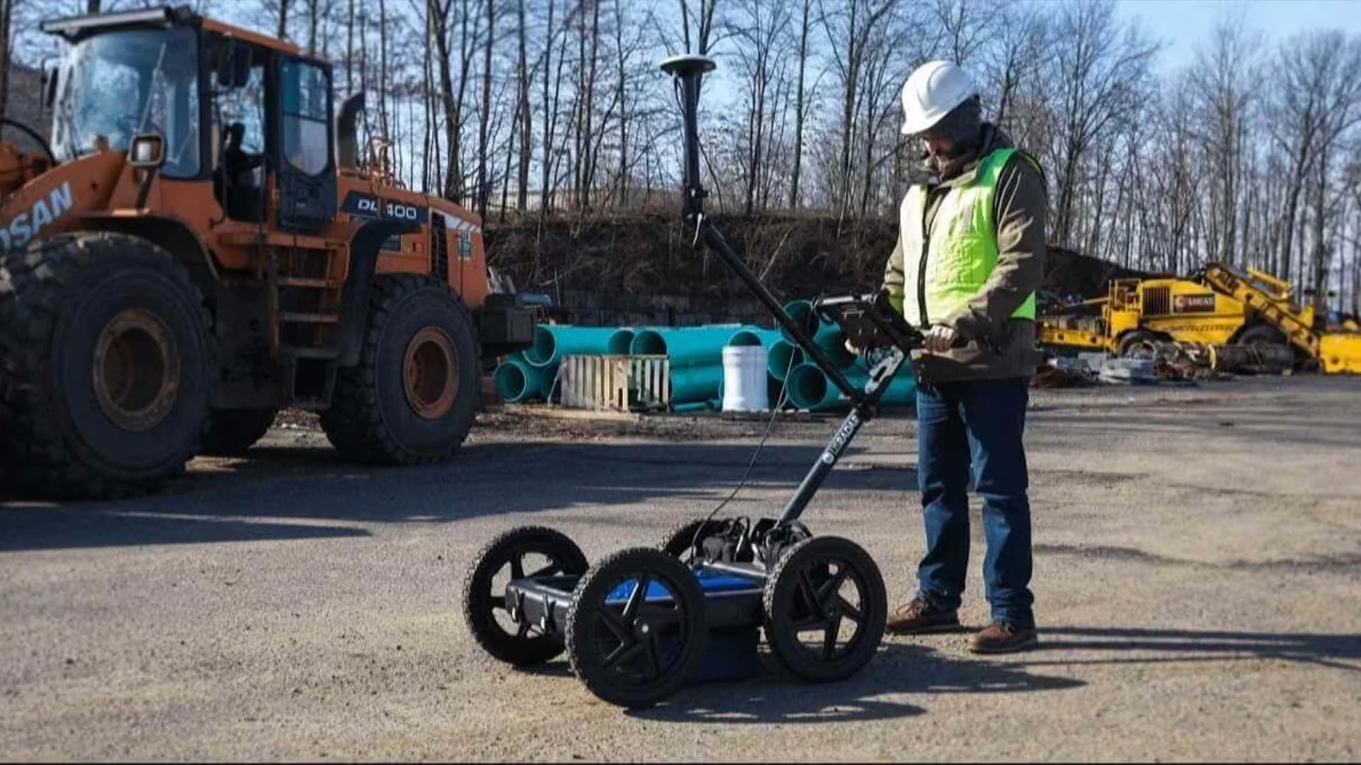
Where Is Ground-Penetrating Radar Used?
GPR supports a range of construction and infrastructure investigations. You may need to trace an unknown service, assess a concrete structure or understand subsurface conditions across a wider site. The target and site conditions should guide the survey approach.
Underground Utility Detection
Existing drawings and records provide a useful starting point before excavation, but they may not show every underground service. GPR adds information about the location of pipes, cables and other infrastructure.
Where ground conditions are suitable, GPR can also investigate non-conductive targets. Plastic pipes and similar services may be more difficult to identify with locating methods that rely on conductive signals.
Concrete Scanning and Roadworks
In concrete, bridge decks, roads and pavements, radar can detect features within or immediately below the constructed surface without first cutting into it.
When planning drilling, cutting, repairs or rehabilitation, this information gives you a clearer indication of what may be present in the work area and where closer investigation may be needed.
Subsurface Mapping and Site Investigation
Combining Georadar data with positioning information creates a spatial record of detected features across the surveyed area.
Surveyors and engineers use this mapped data to understand how individual findings relate to the wider site.

Identifying Subsurface Risks Before Work Begins
Potential subsurface constraints may require changes to planned excavation or construction. GPR provides information that helps project teams assess these constraints and determine the appropriate next step.
GPR does not remove uncertainty or replace professional interpretation. Used alongside site records, existing knowledge and other appropriate methods, it provides another source of evidence for assessing the site.
For project teams, the practical benefits include:
-
More informed excavation and construction planning
-
Better direction for targeted further investigation
-
Greater awareness of potential infrastructure conflicts
-
Reduced reliance on intrusive investigation as the first step
Choosing GPR Equipment for Your Application
Survey requirements determine the capabilities a GPR system needs. A system suited to shallow concrete investigation may differ from one used for utility mapping.
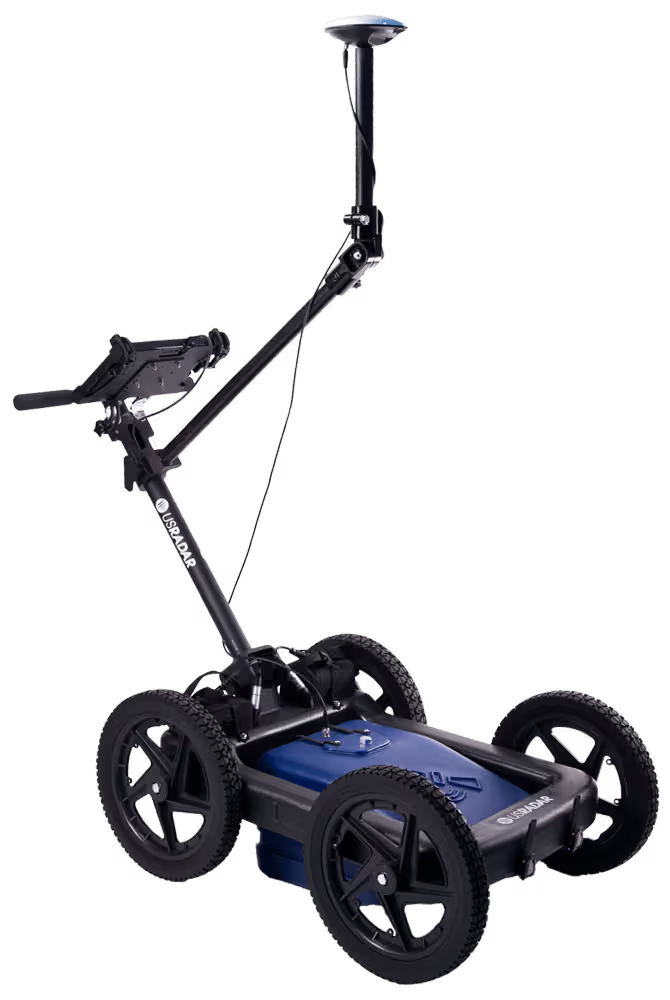
Consider these factors when comparing GPR systems:
| Project Requirement | Capability to Consider | Why it Matters |
|---|---|---|
| Detailed Investigation of Shallow Targets | Higher-frequency, higher-resolution capability | Provides greater detail closer to the surface |
| Investigation at Greater Depth | Lower-frequency capability | Extends useful penetration for deeper targets |
| Targets Across Different Depths | Multi-frequency capability | Provides information across different investigation ranges |
| Mapping Detected Features | Integrated positioning | Provides information across different investigation ranges |
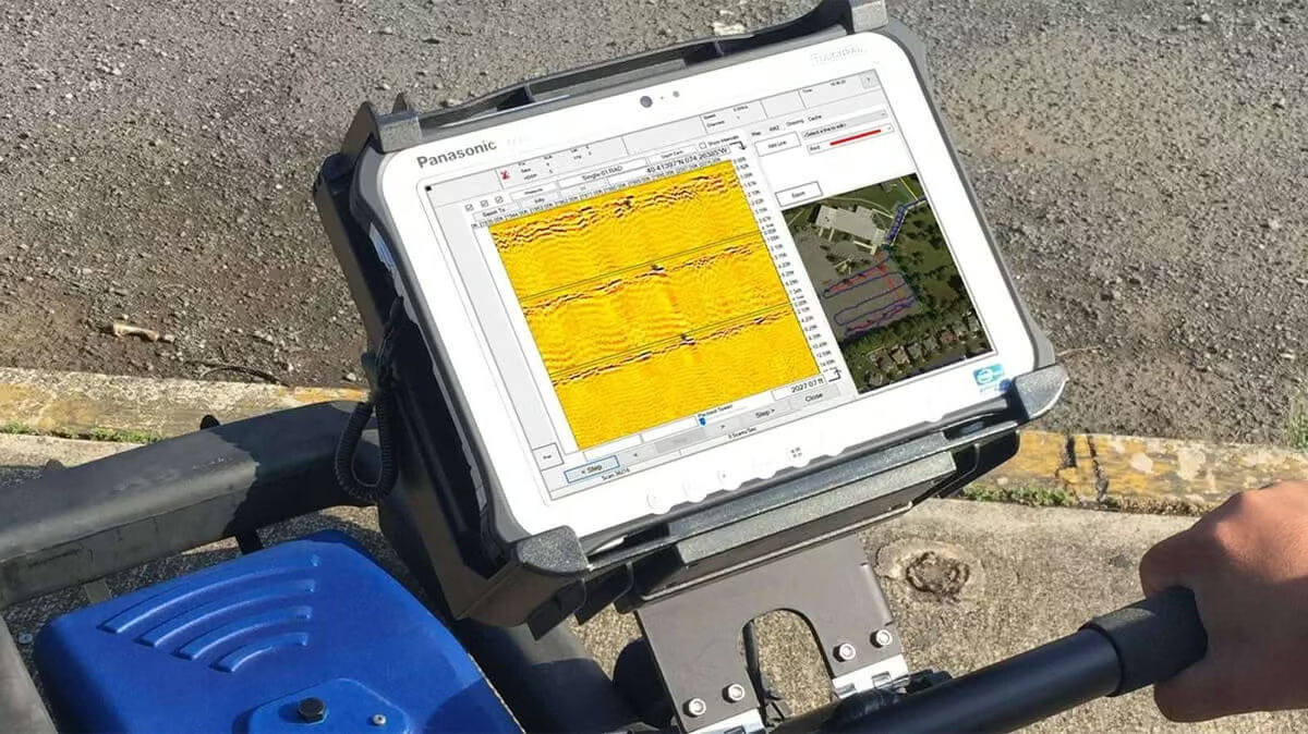
| Recording and Reviewing Field Data | Acquisition and processing software | Keeps survey information available for review and interpretation |
Relevant solutions in OPTRON’s US Radar range include:
-
GPRover integrates GPR with high-accuracy GPS and mapping capabilities, making it ideal for locating subsurface targets and capturing their position within the same field workflow.
-
Quantum Imager uses three frequency ranges simultaneously. For projects where targets may occur at different depths, multi-frequency investigation provides shallow, middle and deeper-range information during the survey.
-
US Radar Acquisition Software lets users view data in real time, record scans, identify and annotate features and retain information for later review.
Take the Next Step With OPTRON’s GPR Solutions
A GPR survey is most useful when it delivers the information your project needs. Choosing technology with the appropriate capabilities gives your team a stronger starting point for the work ahead.
Explore OPTRON’s GPR solutions or speak to our team to identify suitable US Radar technology for your investigation.