Contact OPTRON to find out more about our complete range of Survey Solutions!
How Trimble eCognition Improves Feature Extraction and Change Detection
Remote sensing plays a critical role in how South African industries understand and respond to their environments. From monitoring land use to supporting infrastructure planning, it helps teams make decisions based on large-scale data rather than assumptions.
The value lies in its scale and consistency, delivering continuous, comparable datasets rather than isolated measurements, which supports better planning and long-term management.
In practice, remote sensing goes beyond collecting imagery and focuses instead on turning raw data into actionable insights.
Surveyors, engineers and environmental professionals rely on these workflows to identify patterns and detect changes across large areas, whether tracking vegetation health, monitoring mining activity or reviewing how infrastructure evolves over time.
The value lies in its scale and consistency, delivering continuous, comparable datasets rather than isolated measurements, which supports better planning and long-term management.
Understanding the Data Behind Remote Sensing
Remote sensing tools draw from multiple data sources, each offering a different perspective on the environment. These datasets are often combined to provide a more complete and detailed view for analysis.
1. Satellite and Aerial Imagery
Satellite and drone imagery provide a clear, detailed view of what is happening on the ground. This is often used for mapping and understanding how land is being used, as well as assessing how areas change over time. Because satellite data is captured regularly, it becomes much easier to follow developments as they happen. This could include urban expansion or shifts in environmental conditions.
2. LiDAR Data
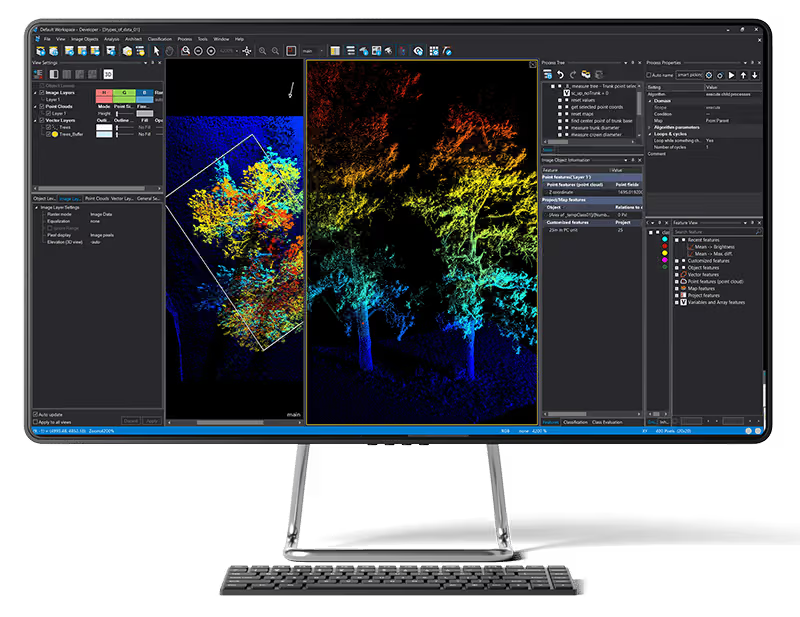
LiDAR adds another dimension by capturing precise elevation data along with structural detail. This makes it especially useful for terrain modelling and for understanding how landscapes are shaped, particularly in areas where surface detail matters. It is also widely used in infrastructure planning, where accurate ground information is critical. Unlike traditional imagery, LiDAR can penetrate vegetation to reveal the ground beneath. This makes it particularly valuable for topographic mapping, where a clear view of surface levels is essential.
3. Integrating Data for Geospatial Analysis
The real strength of remote sensing comes from combining these datasets into a unified workflow. By integrating imagery and LiDAR with field data capture, professionals can perform advanced geospatial analysis that supports more accurate interpretations.
This integration forms the foundation for feature extraction and change detection, where software plays a central role.
From Data to Insight: Feature Extraction and Change Detection
Data becomes valuable only when analysed. Two of the most important processes in this workflow are feature extraction and change detection.
Key differences at a glance:
| Feature Extraction | Change Detection |
|---|---|
| Identifies what is present in a dataset | Identifies what has changed between datasets |
| Works on a single dataset | Requires multiple datasets over time |
| Used to map features like buildings or vegetation | Used to track development or environmental change |
| Focuses on classification and identification | Focuses on comparison and change analysis |
Both processes are vital for turning data into insights and require advanced software for reliable results.
Where Trimble eCognition Fits Into Remote Sensing Workflows
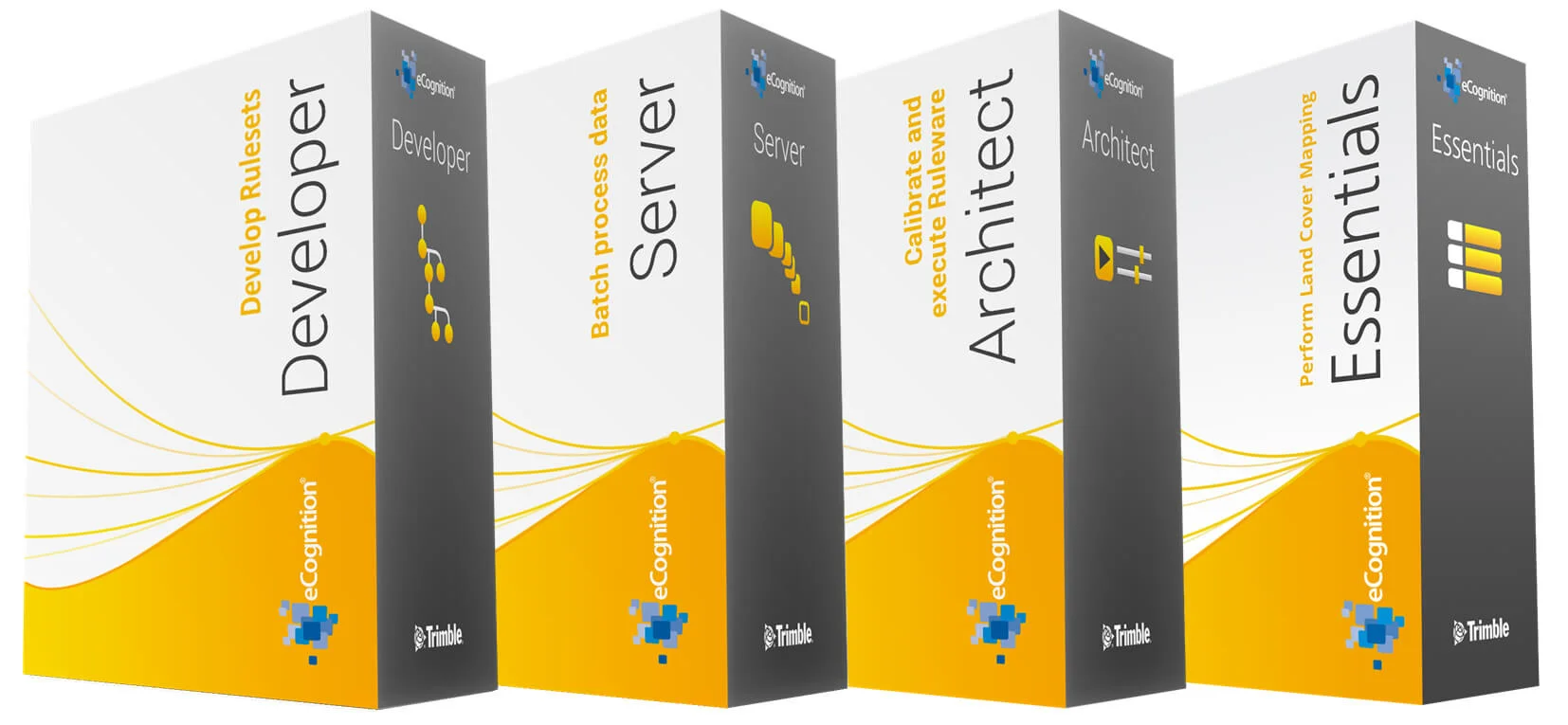
Trimble eCognition is built to handle complex modern workflows. It moves users beyond basic image viewing into structured, large-scale analysis.
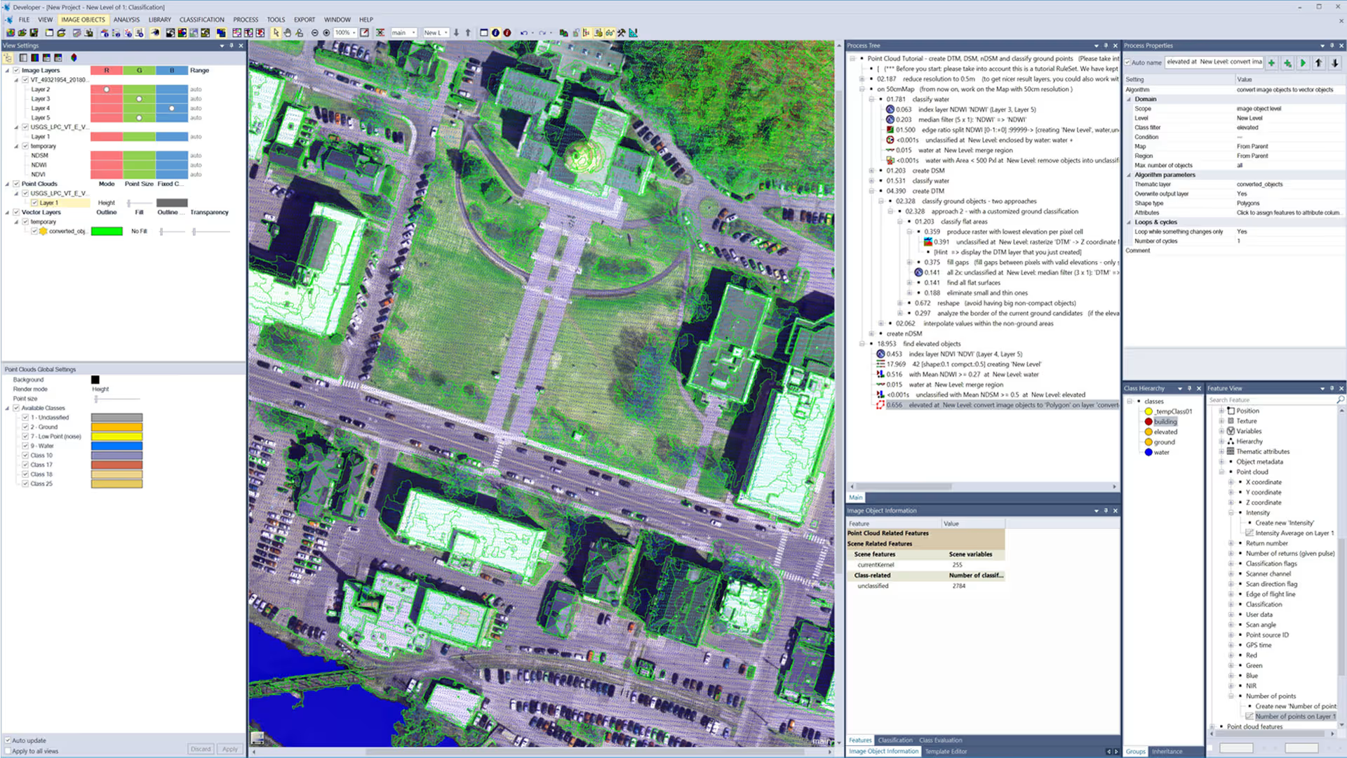
The platform uses object-based image analysis (OBIA), grouping pixels into meaningful objects instead of analysing each pixel in isolation. This supports more reliable image classification and feature extraction based on real-world context.
Trimble eCognition works with multiple data sources, from satellite imagery to LiDAR, as part of a broader Trimble remote sensing workflow. Users can build rule-based models that automate feature identification and analysis, reducing manual input while maintaining consistent outputs. For a deeper technical overview, refer to the eCognition datasheet.
For change detection, the software compares datasets captured at different points in time and highlights where differences occur, making it easier to monitor environments that require ongoing tracking and reporting.
Trimble eCognition enables organisations to scale Geospatial analysis while maintaining reliable results.
Industry Applications Across South Africa
These workflows support multiple industries across South Africa, where large areas and varied terrain require consistent, reliable insight.
-
Mining and resource management: Used to monitor site activity and track stockpile volumes, while supporting environmental oversight. Change detection helps flag shifts that may affect compliance or operations. LiDAR supports terrain modelling, while imagery provides a detailed view of site conditions.
-
Infrastructure and utilities: Gives teams a clear view of construction areas to support planning and site tracking. It also helps assess surrounding land conditions and keep projects aligned with design intent. In utilities, it supports network inspection and maintenance.
-
Infrastructure and utilities: Gives teams a clear view of construction areas to support planning and site tracking. It also helps assess surrounding land conditions and keep projects aligned with design intent. In utilities, it supports network inspection and maintenance.
-
Land and environmental monitoring: Provides a consistent view of land use and how conditions change over time. This supports vegetation monitoring and water resource management, as well as broader environmental oversight, where ground access is limited.
These applications show how data capture feeds into more structured workflows led by insight.
Why Choose OPTRON for Geospatial Solutions
Turn your Geospatial data into clearer insights, smarter decisions and more efficient workflows with OPTRON’s advanced geospatial solutions.
From analysis to implementation, we help organisations across South Africa unlock more value from their data and improve day-to-day operations.
Ready to make better use of your Geospatial data? Speak to our team today.