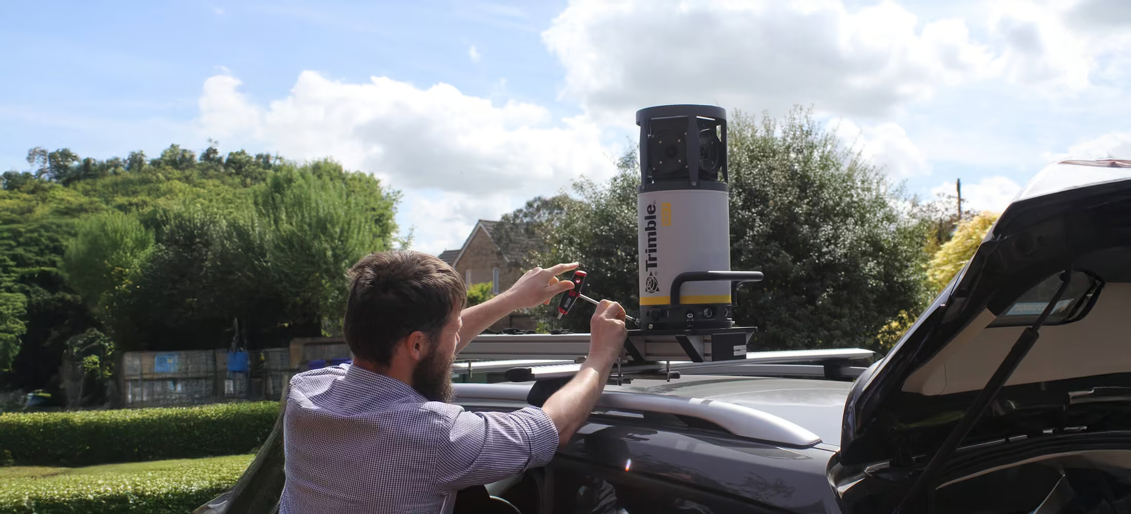
Trimble MX7
Fast and cost effective way to manage assets
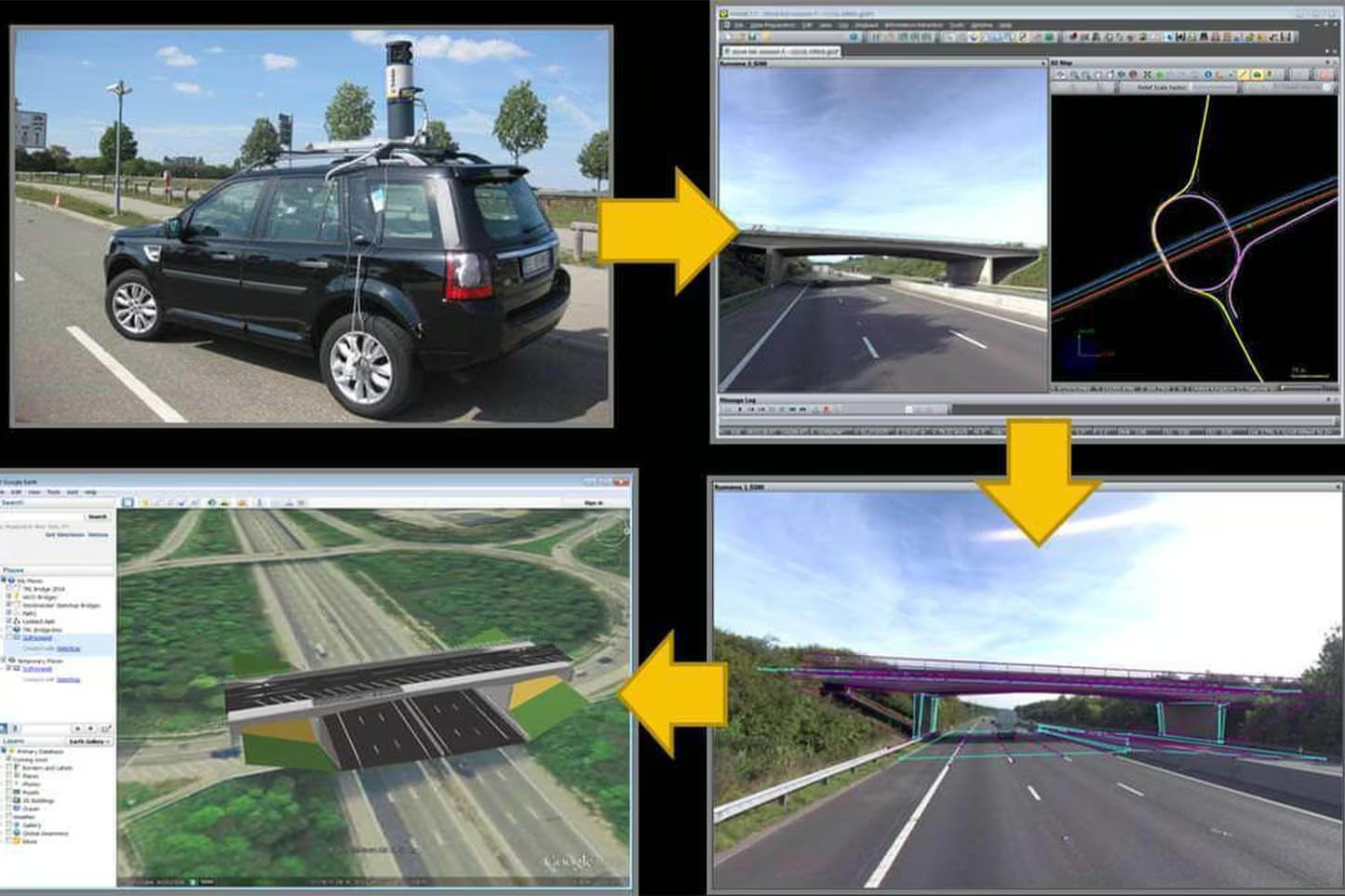
The Trimble MX7 Mobile Imaging System is a fast and cost effective way to manage assets such as bridges, buildings, roads, highways, and power stations, and document site conditions with geo-referenced images.
Need a Quote?
We’ll Call You
Simply enter your contact details and one of our specialists will call you to discuss your requirements and provide a detailed quotation.
Need a Quote?
We’ll Call You
Simply enter your contact details and one of our specialists will call you to discuss your requirements and provide a detailed quotation.

The Trimble MX7 delivers fast, 360-degree geo-referenced imaging on any vehicle, at highway speeds, with precision positioning you can trust
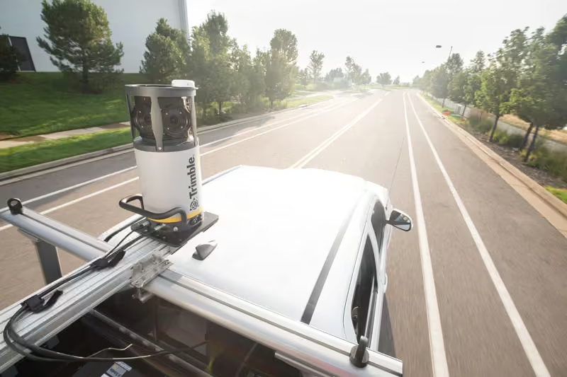
Overview of the MX7
The Trimble MX7 is a vehicle-mounted photogrammetric system equipped with six, 5 megapixel cameras, and Trimble Applanix GNSS and inertial geo-referencing modules.
The Trimble MX7 can be deployed on vehicles of all sizes, letting you capture 30 MP geo-referenced images at highway speeds.
Key Features
-
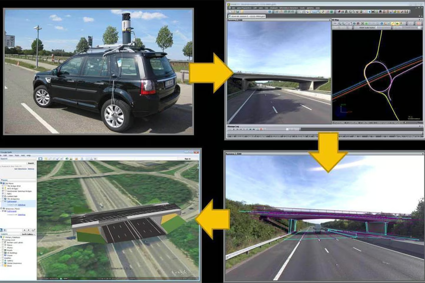
Rapid 360-degree geo-referenced image documentation
-
Precision positioning using GNSS and inertial referencing system
-
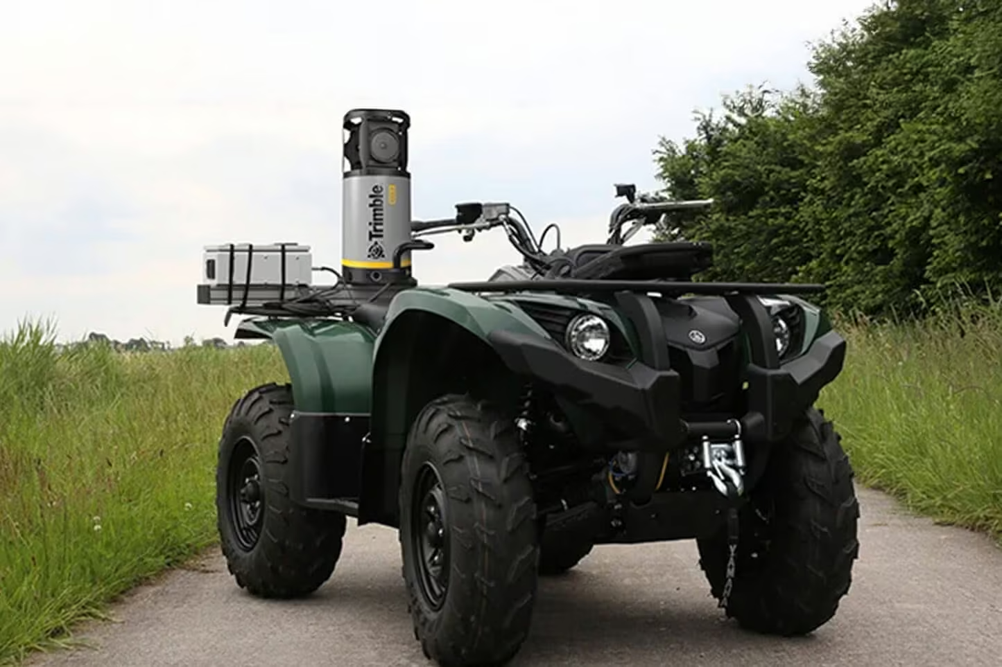
Deploys on all sizes of vehicles
-
Rugged, reliable and lightweight design with low power consumption
-
Use with intuitive Trimble Mobile Imaging Capture software
Applications
-
Local government: asset inventory and management, city models
-
Mining: construction, monitoring
-
Oil and Gas: site monitoring, asset tracking, change detection
-
Utilities: electrical, pipelines
-
Large scale mapping
-
Roads: condition surveys, visualization, maintenance
See the Trimble MX7 in Action
Watch how the Trimble MX7 captures high-quality, geo-referenced imagery at speed, streamlining data collection for mapping, monitoring, and asset management projects in the field.
Related Images



Need a Quote?
We’ll Call You
Simply enter your contact details and one of our specialists will call you to discuss your requirements and provide a detailed quotation.
-
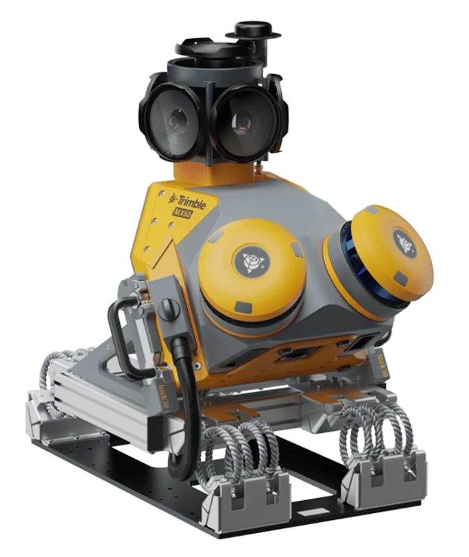
Trimble MX60
The Trimble® MX60 system is part of a complete field-to-finish mobile mapping solution
-
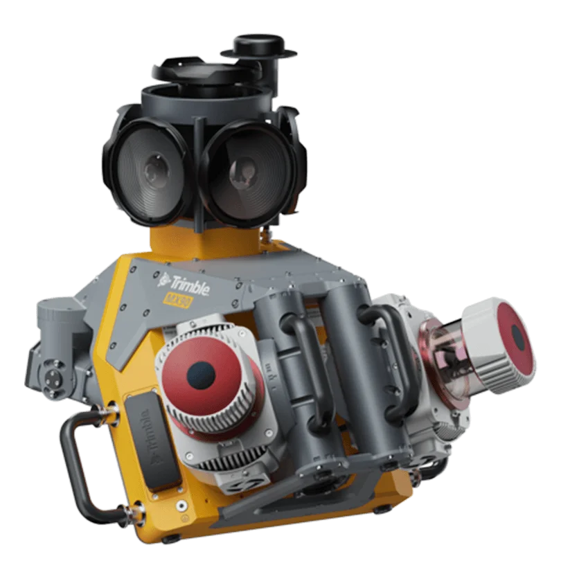
Trimble MX90
The Trimble® MX90 system is part of a complete field-to-finish mobile mapping solution that combines leading-edge hardware with intuitive field software and an integrated office software workflow.