
Trimble MX60
Each project is a journey. Enjoy the ride.
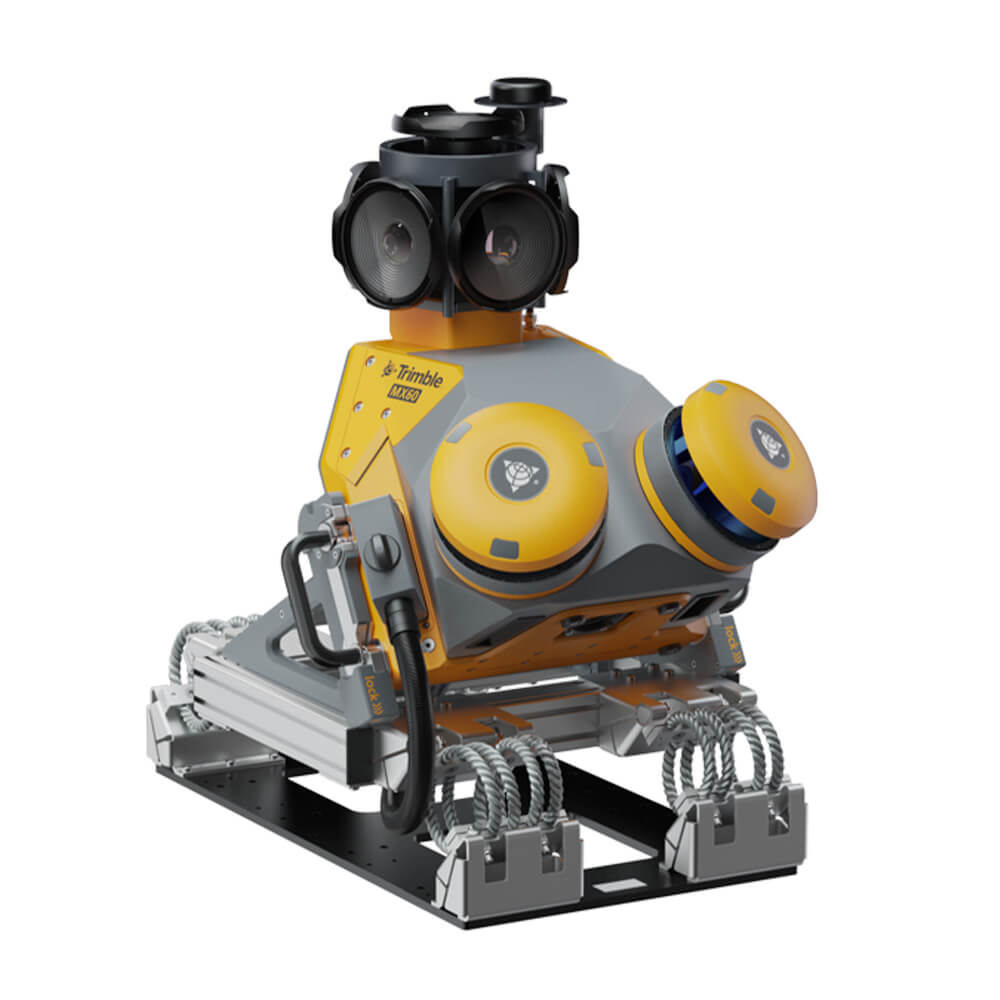
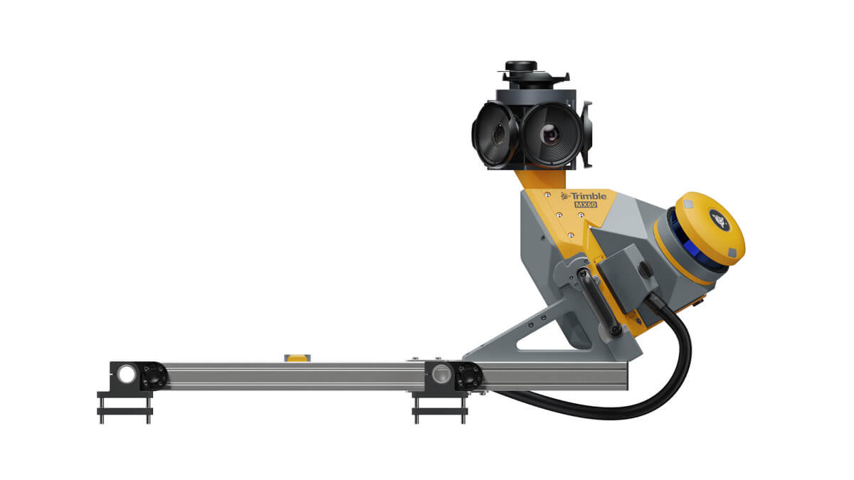
The Trimble® MX60 system is part of a complete field-to-finish mobile mapping solution that combines leading-edge hardware with intuitive field software and an integrated office software workflow.
Need a Quote?
We’ll Call You
Simply enter your contact details and one of our specialists will call you to discuss your requirements and provide a detailed quotation.
Need a Quote?
We’ll Call You
Simply enter your contact details and one of our specialists will call you to discuss your requirements and provide a detailed quotation.
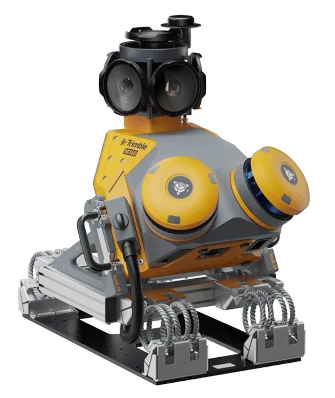
The Trimble® MX60 mobile mapping system delivers powerful mobile scanning and imaging for asset management.
Take control of your data capture and choose from core, pro or premium models to fit your needs and ensure the perfect solution for every project.
The MX60 brings together the best in laser precision, system accuracy and visual performance at high speeds to ensure top-quality data capture.
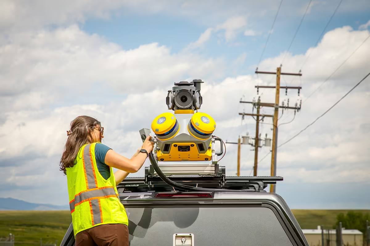
Effortless end-to-end Efficiency
The MX60 simplifies data capture and, with purpose-built office software, streamlines field-to-finish asset management and maintenance workflows.

Key Specifications
-
Up to 1000kHz Laser effective measurement rate
-
Up to 72 MP Spherical camera
-
Embedded Trimble GNSS-inertial system
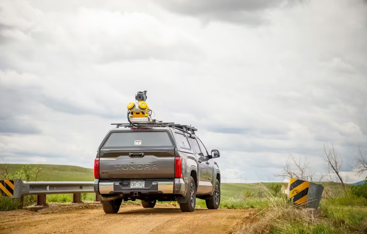
Driven to Deliver
Powered by state-of-the-art LiDAR technology, best-in-class GNSS positioning and premium optics, the MX60 delivers comprehensive data for effortless asset management.
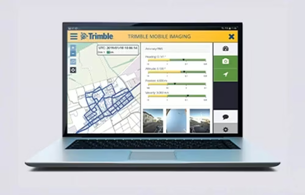
Quickly obtain Geospatial Data
Control data acquisition with any smart device and easily adjust the lasers and oblique camera for the best orientation.
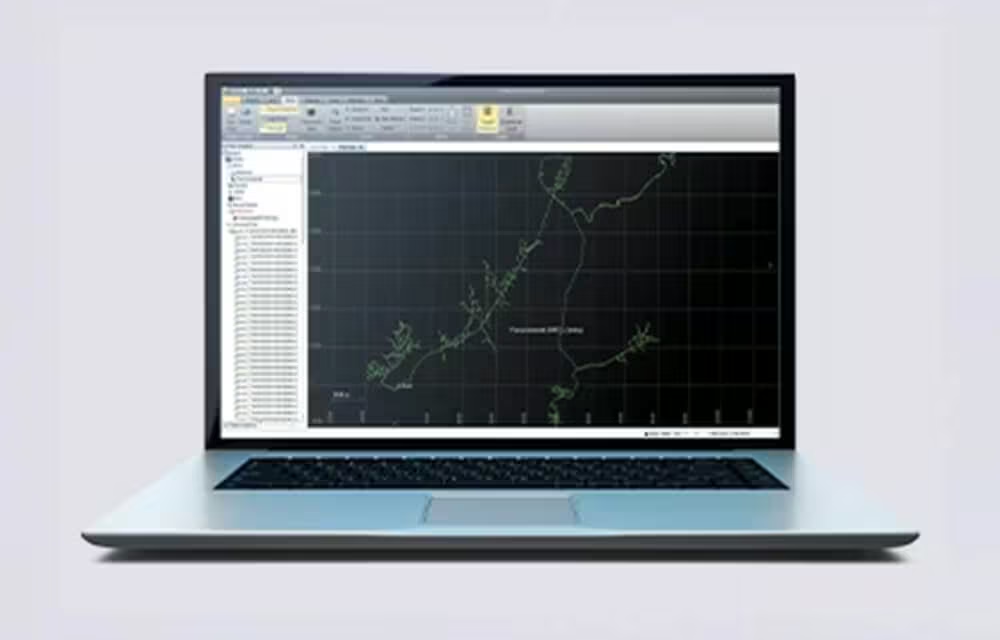
Combine GNSS & Inertial Data
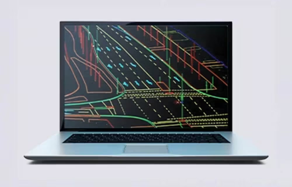
High Quality Deliverables
Create, inspect and analyze high quality survey, engineering CAD and GIS deliverables, by leveraging the data fusion capabilities of Trimble Business Center.
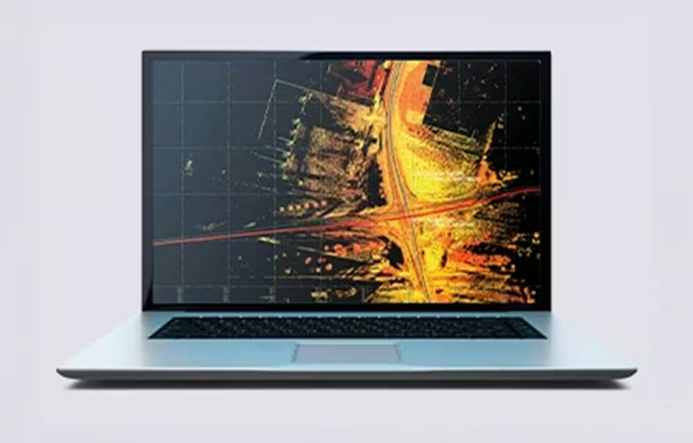
Publish & Collaborate
Avoid site revisits by sharing for-collaboration point clouds and images with overlaid existing asset data.
See the Trimble MX60 in Action
See how the Trimble MX60 captures high-quality mobile mapping data with speed, accuracy and efficiency in real-world environments.
Related Images




Need a Quote?
We’ll Call You
Simply enter your contact details and one of our specialists will call you to discuss your requirements and provide a detailed quotation.
-

Trimble MX7
The Trimble MX7 Mobile Imaging System is a fast and cost effective way to manage assets.
-
Trimble MX90
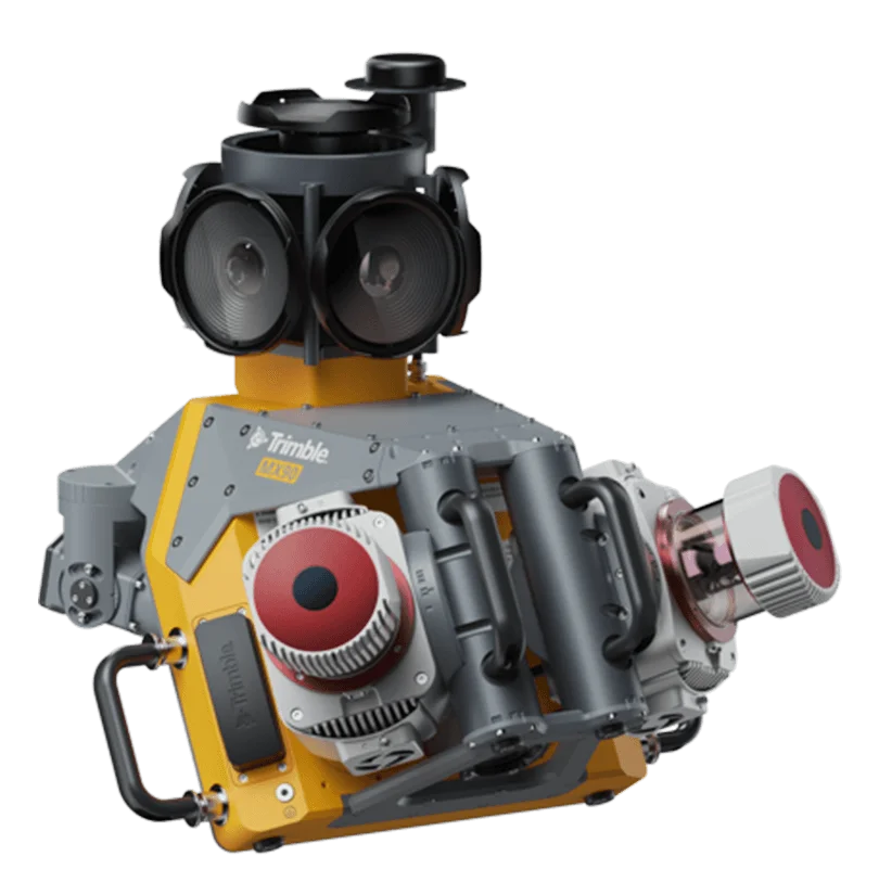
The Trimble® MX90 system is part of a complete field-to-finish mobile mapping solution that combines leading-edge hardware with intuitive field software and an integrated office software workflow.