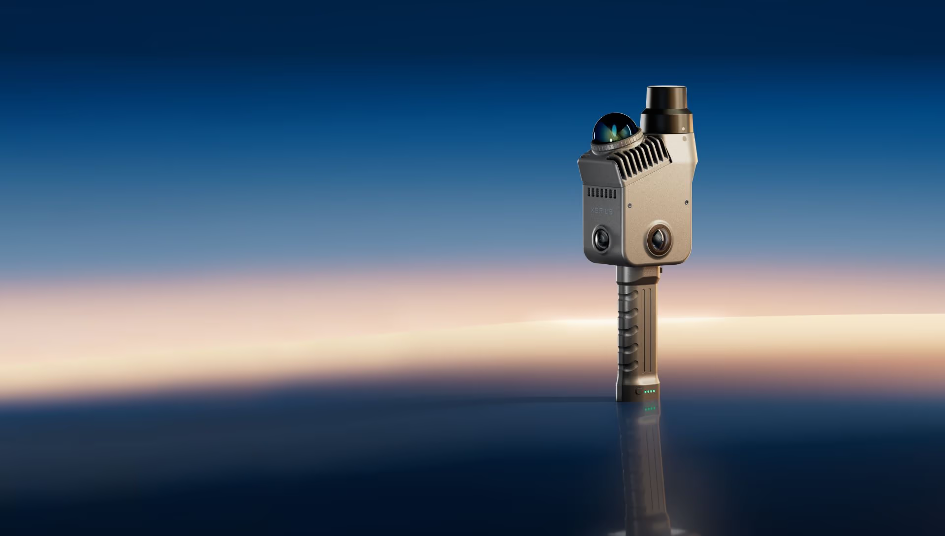
Lixel K2
The Gold Standard in Lightweight Scanning
Need a Quote?
We’ll Call You
Simply enter your contact details and one of our specialists will call you to discuss your requirements and provide a detailed quotation.

The New Standard in Lightweight 3D Scanning
The XGRIDS Lixel K2 is a next-generation handheld LiDAR scanner designed to make professional 3D data capture faster, easier, and more accessible. Combining high-precision LiDAR technology, real-time colorized point clouds, and an ultra-lightweight design, the Lixel K2 empowers surveyors, engineers, architects, and inspection professionals to capture accurate spatial data in minutes.
Whether you’re documenting buildings, surveying construction sites, measuring stockpiles, or creating digital twins, the Lixel K2 delivers reliable results with an efficient workflow that reduces time in the field and accelerates project delivery.
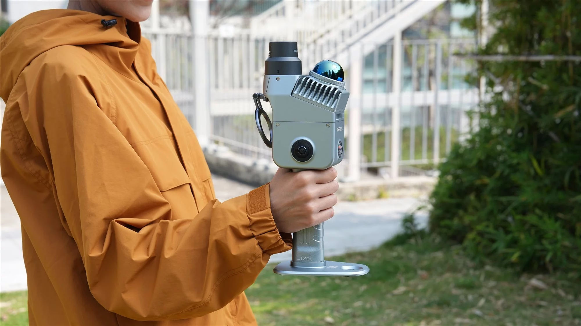
Lightweight Design, Powerful Performance
The LixelKity K1 handheld LiDAR scanner provides powerful solutions for professionals who need fast, flexible, and accurate 3D data capture.
Whether you are mapping terrain, managing infrastructure, or conducting surveys, this portable 3D scanning device helps streamline workflows and improve data accuracy across multiple applications.
Key Features
-
Lightweight handheld design (app. 1,2 kg)
-
Scanning range of up to 100 meters
-
Up to 200,000 points captured per second
-
Relative accuracy of up to 1 cm
-
Real-time colorized point cloud visualization
-
Built-in RTK support for improved positioning
-
512 GB onboard storage
-
Wi-Fi and Bluetooth connectivity
-
Support for LAS and JPG export formats
-
Compatible with Gaussian Splat (3DGS) workflows
Real-Time Visualization and Simple Workflow
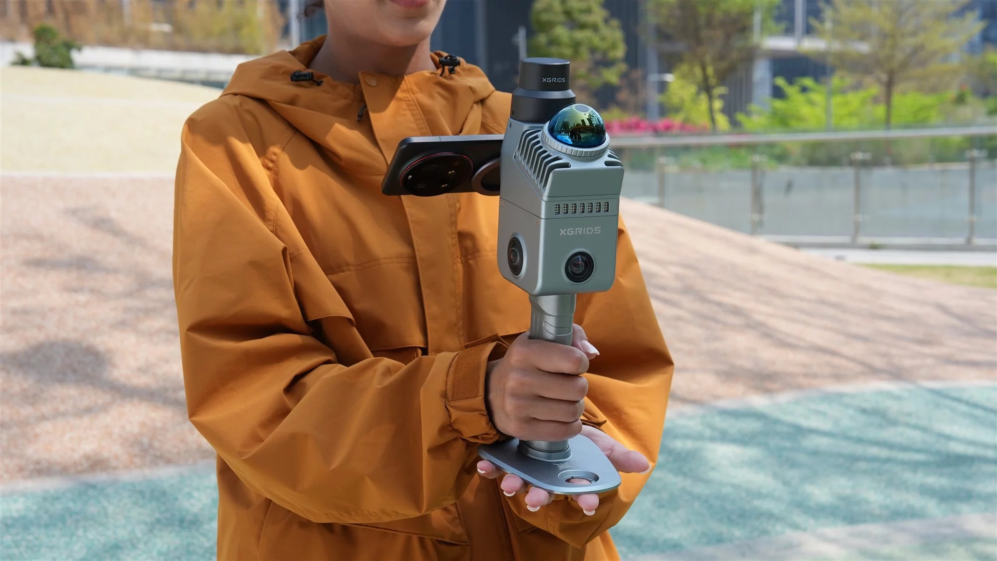
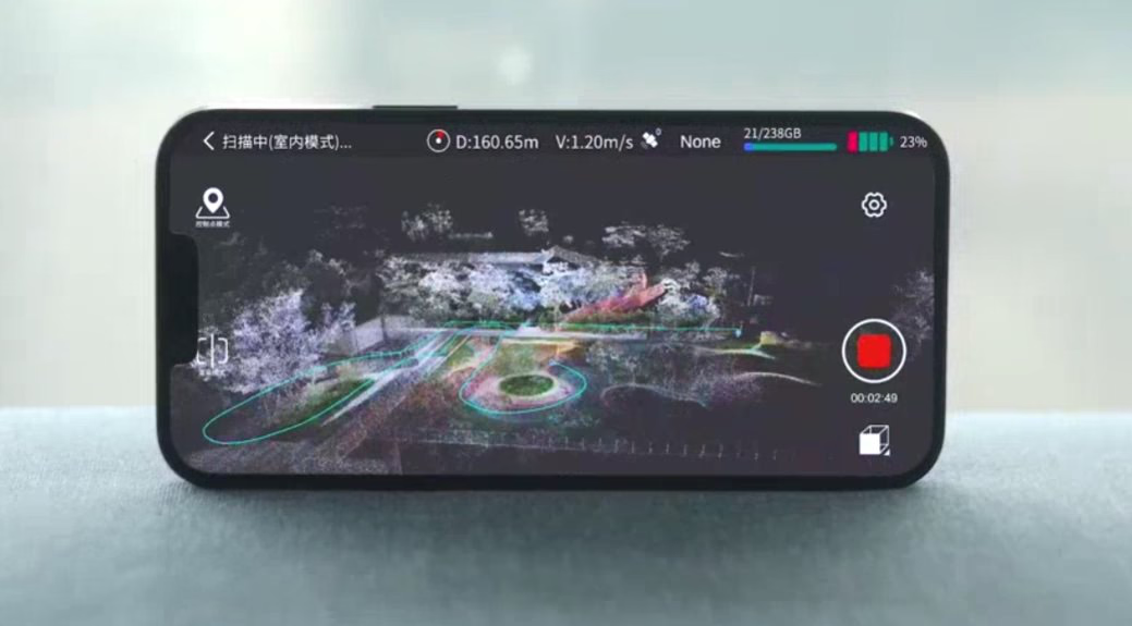
The Lixel K2 streamlines the entire scanning process. Using the LixelGO mobile application, operators can view a real-time colour point cloud directly on a smartphone or tablet while scanning. This immediate feedback helps ensure complete coverage and reduces the need for costly return visits.
A typical workflow includes:
-
Scan the environment using the handheld Lixel K2.
-
Monitor progress and data quality in real time with LixelGO.
-
Process and refine datasets in Lixel Studio.
-
Export data for CAD, BIM, GIS, visualization, and analysis platforms.
High-Accuracy Data Capture
With relative accuracy reaching 1 cm and exceptionally clean point cloud generation, the Lixel K2 captures detailed geometry suitable for professional measurement and documentation tasks.
Applications include:
-
Building and architectural surveys
-
Construction progress monitoring
-
As-built documentation
-
Real estate and property measurement
-
Heritage and cultural preservation projects
-
Industrial inspections
-
Stockpile and volume calculations
-
Digital twin creation
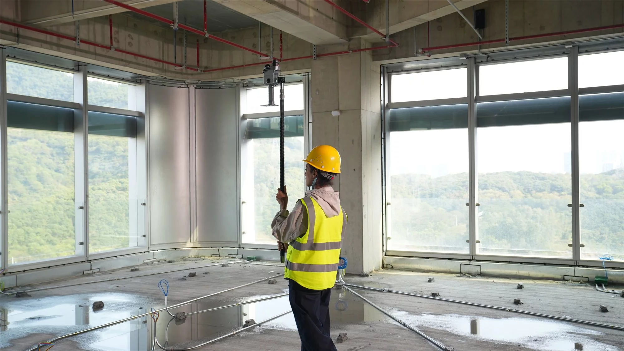
Lightweight device. Engineering-grade data.
Weighing in at under 2.2 lbs with a built-in RTK module and multi-SLAM positioning, the Lixel K2 fits full survey-grade capability into a compact handheld form, so you can walk a site and capture point clouds, meshes, and 3D Gaussian Splats without extra equipment slowing you down.
Measurement accuracy within 1 cm
Wall distances and window dimensions you can rely on.
Point cloud thickness as thin as 1 cm
Fine detail, faithfully reproduced.
Complex geometry — clearly resolved.
Uniform colorization. Every detail, visible.
Denser point clouds, truer detail.
Low-light environments. Still sharp.
One device. Any scenario.
From topographic surveys and utility corridors to facade measurement, heritage preservation, and digital twin capture, the Lixel K2 adapts to the job at hand, delivering point clouds, meshes, and photoreal 3D Gaussian Splats from a single handheld capture.
Need a Quote?
We’ll Call You
Simply enter your contact details and one of our specialists will call you to discuss your requirements and provide a detailed quotation.
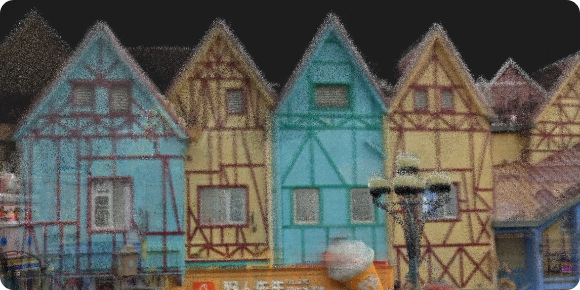
Real-time point cloud
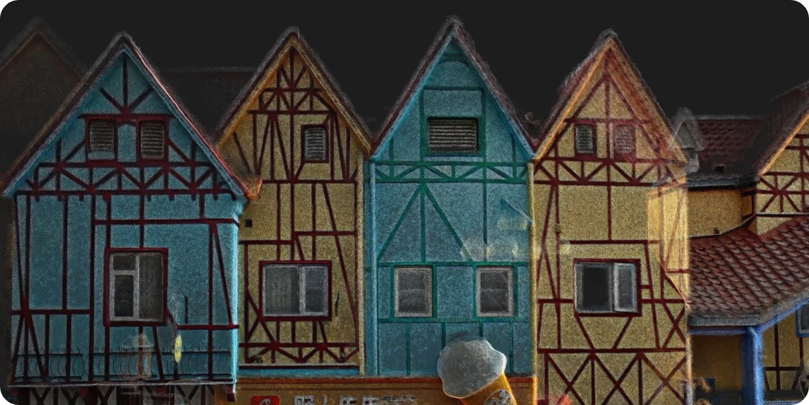
Post-processed point cloud

Mesh

3D Gaussian Splatting (3DGS)
Every output, matched to the task.
Real-time point cloud
On-site assurance for urgent projects. Assess data quality as you scan.
Post-processed point cloud
The foundation for high-precision, engineering-grade deliverables.
Mesh
Editable, structured 3D models, generated fast.
3DGS
Spatial reconstruction at peak fidelity and realism.
Your entry point into spatial intelligence.
When you choose Lixel K2, you tap into XGRIDS’ complete spatial intelligence platform.
Digital twin
Rapidly digitize real spaces for visual management and ongoing operations
Scan-to-BIM
Streamline the point-cloud-to-model workflow, delivered to engineering standards
NVIDIA Isaac Sim
Feed real-world data into simulation training to accelerate robot perception and decision validation
One software ecosystem. Full pipeline.
Lixel CyberColor turns raw scan data into a photoreal 3D Gaussian Splatting model, all within a single pipeline. Navigate, edit, measure, export, and publish as a shareable web link, without switching between separate tools.
Need a Quote?
We’ll Call You
Simply enter your contact details and one of our specialists will call you to discuss your requirements and provide a detailed quotation.
From Reality to Render, Instantly
3D Content Production Powered by Multi-SLAM+3DGS

The new LCC 2 3D Gaussian Splatting format. Faster loading. Smoother navigation. Lighter file sizes. Spatial reality, reconstructed at higher fidelity and greater efficiency.
Accessories
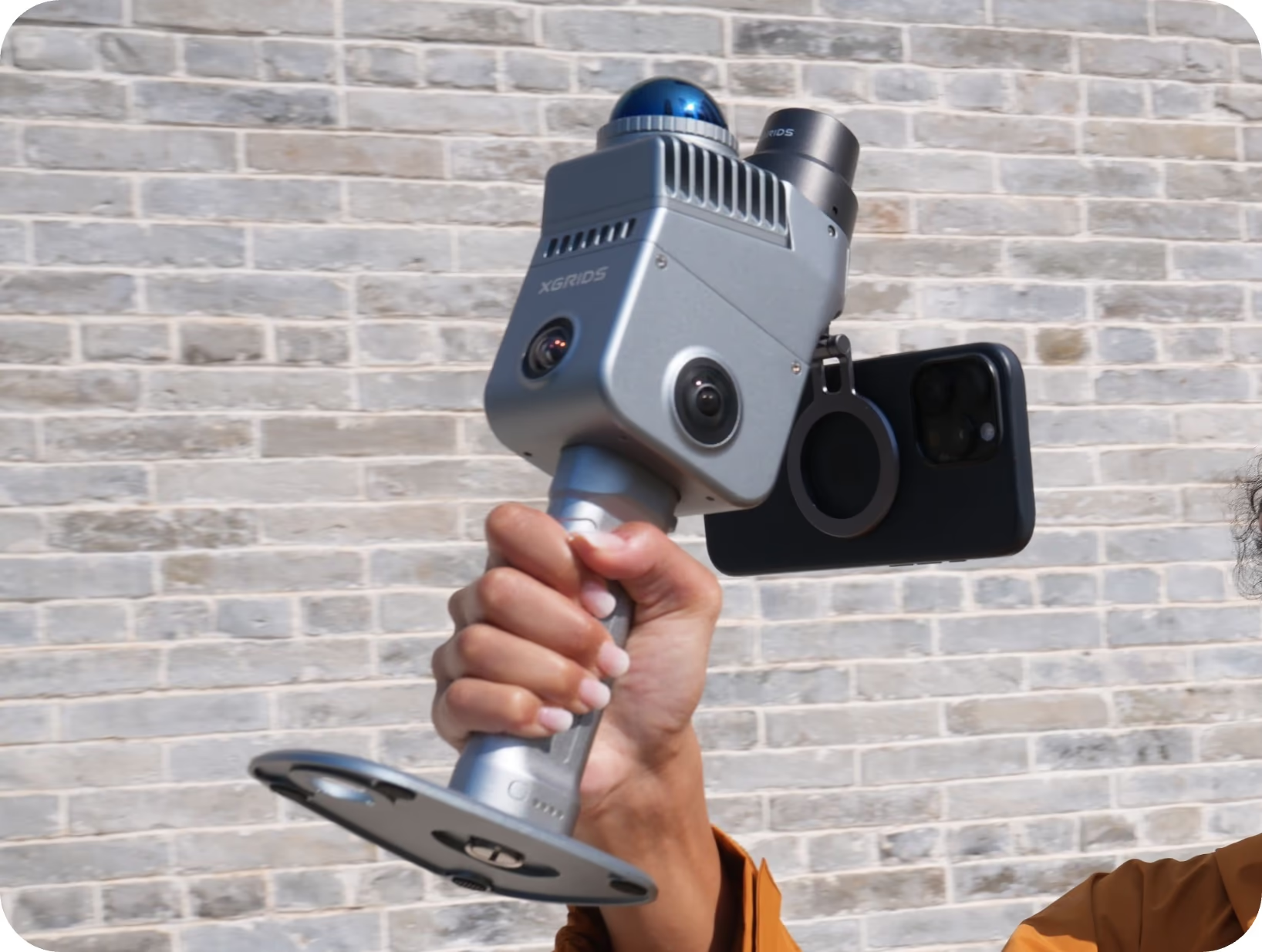
Phone mount (included)
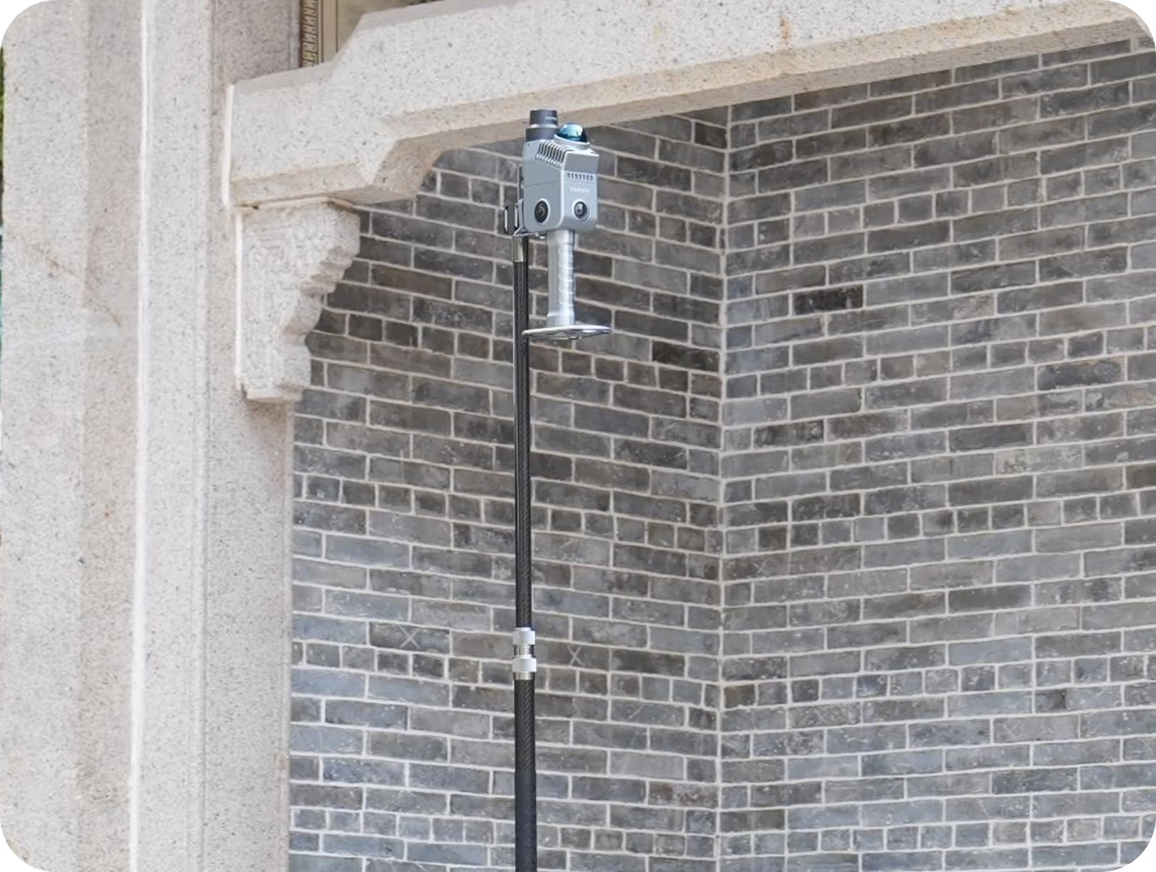
Extension pole
Why Choose the XGRIDS Lixel K2?
The Lixel K2 combines professional-grade accuracy, ease of use, and portability in a single device. It eliminates the complexity often associated with terrestrial laser scanning while delivering the quality required for demanding surveying and reality-capture projects.
Need a Quote?
We’ll Call You
Simply enter your contact details and one of our specialists will call you to discuss your requirements and provide a detailed quotation.
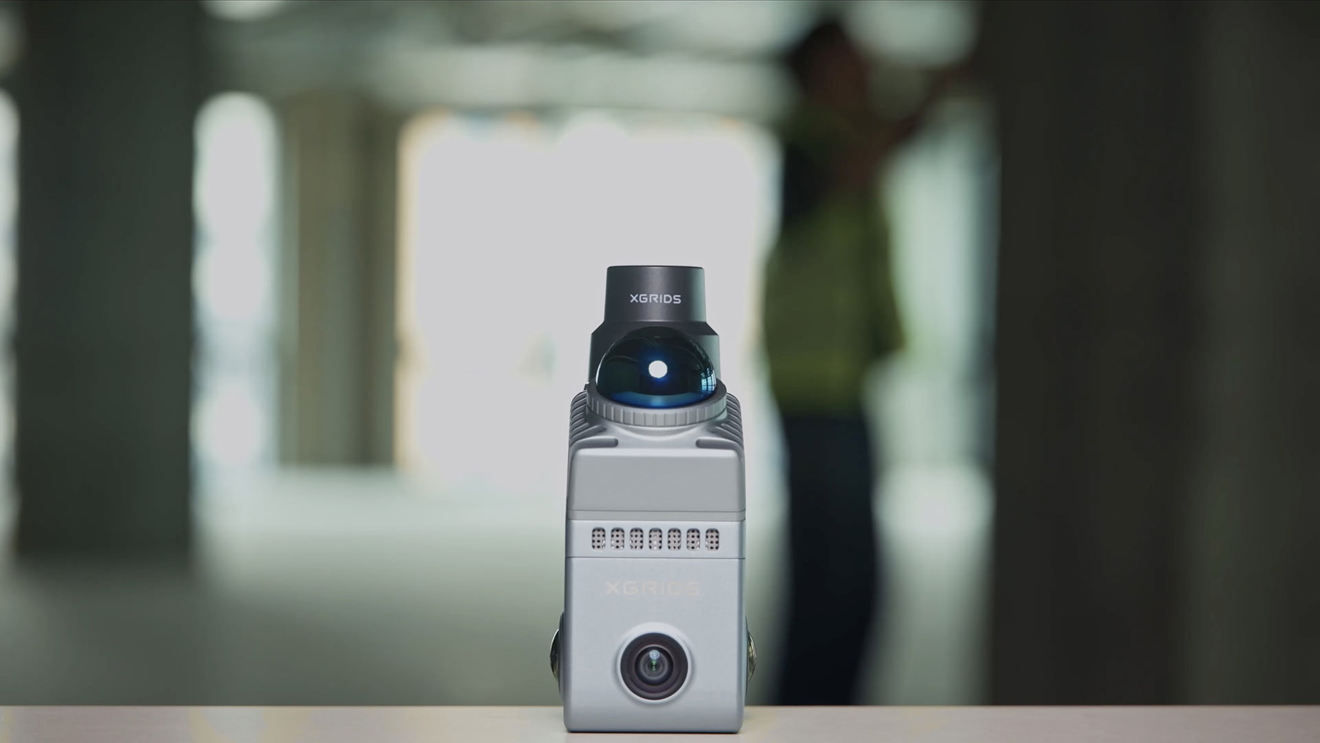
For organizations looking to increase productivity, reduce field time, and generate high-quality 3D data efficiently, the XGRIDS Lixel K2 represents a powerful and cost-effective reality-capture solution.
Frequently Asked Questions About The Lixel K2
See the Lixel K2 in Action
Watch the Lixel K2 capture engineering-grade point clouds and photoreal 3D Gaussian Splats in real time, transforming complex environments into precise, actionable spatial data.
Related Images


Need a Quote?
We’ll Call You
Simply enter your contact details and one of our specialists will call you to discuss your requirements and provide a detailed quotation.
-

Lixel L2 Pro
The Lixel L2 Pro combines LiDAR, visual, and IMU modules with AI – delivering real-time point cloud data that rivals post-processed quality and ushers in the “zero post-processing era” for SLAM devices. -

Lixel CyberColor
Create ultra-realistic large-scale environments and immersive experiences instantly, across multiple devices. -

PortalCam
PortalCam captures real spaces as photorealistic 3D worlds. Powered by 3D Gaussian Splatting, PortalCam turns any location into interactive spatial models you can walk through, edit, and share. -
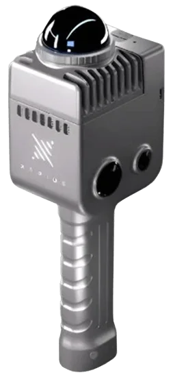
LixelKity K1
Tailored for professionals, small to medium-sized businesses and 3D enthusiasts, the LixelKity K1 offers a convenient solution for 3D capture and modelling.
