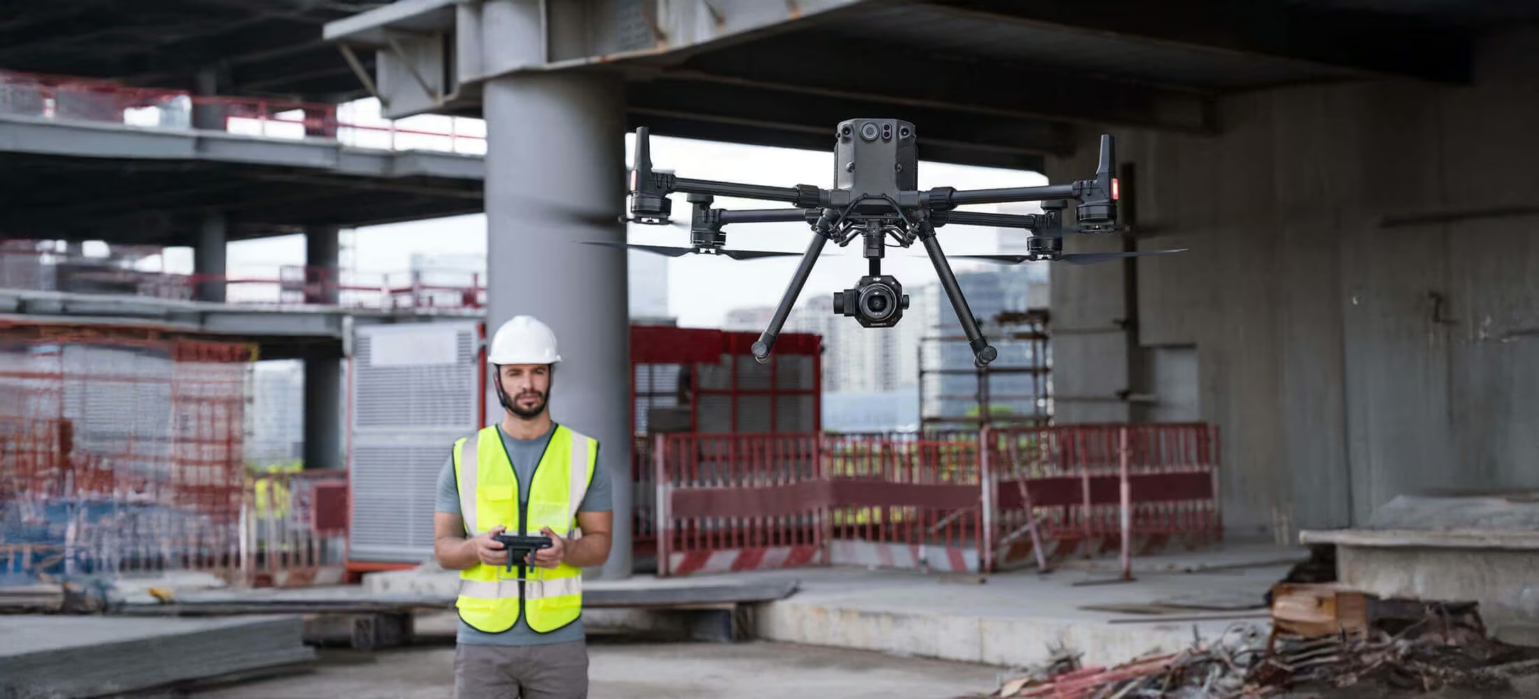
Zenmuse P1
Efficiency through Flexible Full-frame Photogrammetry
Need a Quote?
We’ll Call You
Simply enter your contact details and one of our specialists will call you to discuss your requirements and provide a detailed quotation.

The New Benchmark for Aerial Surveying
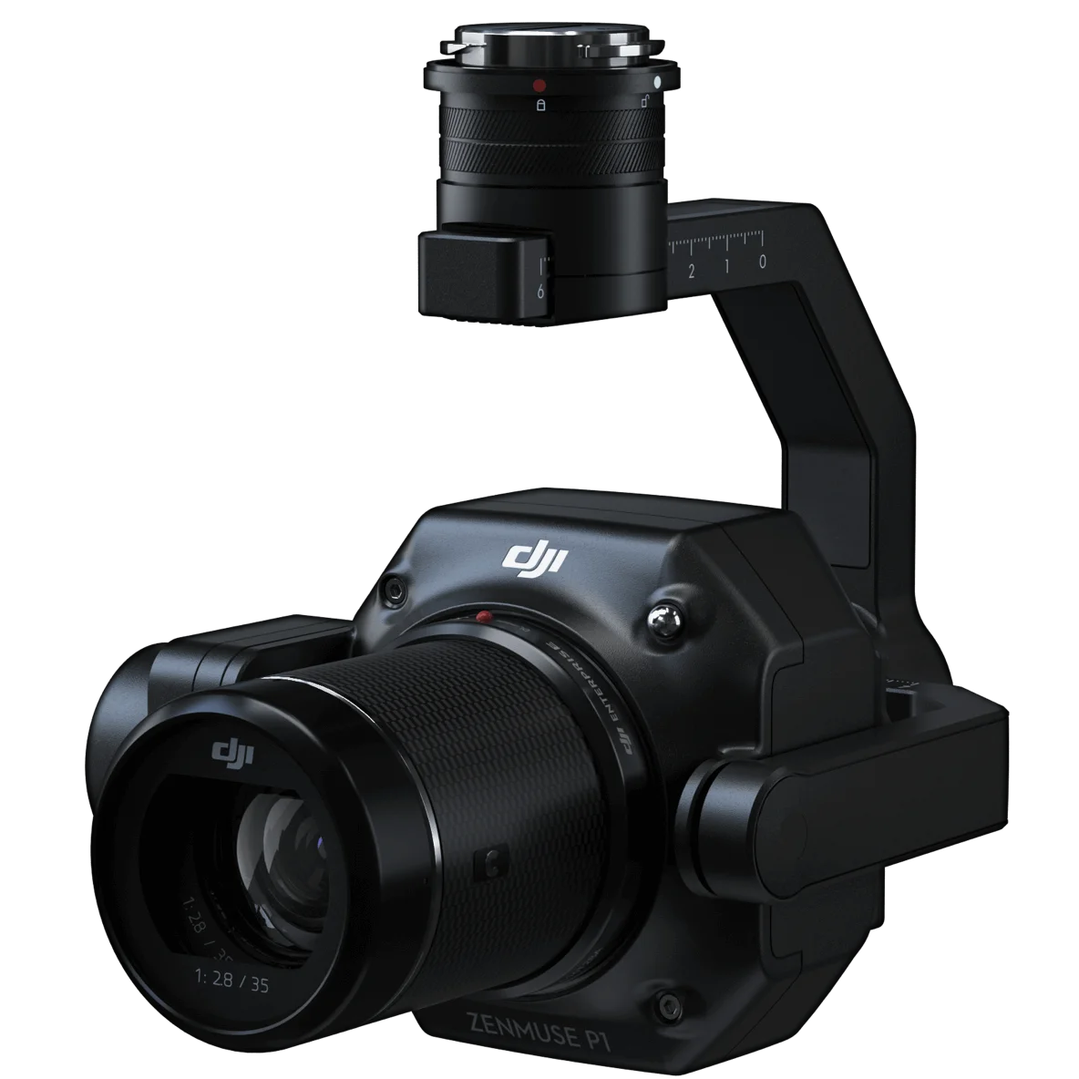
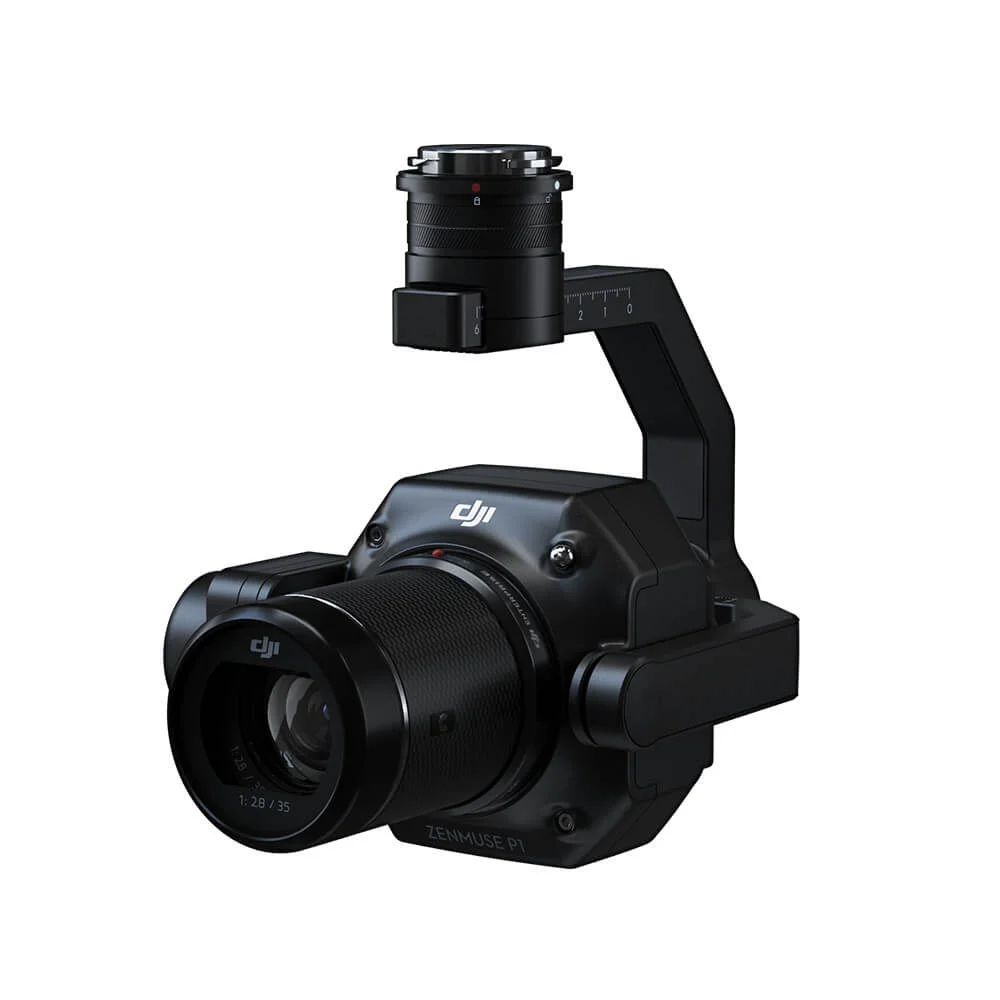
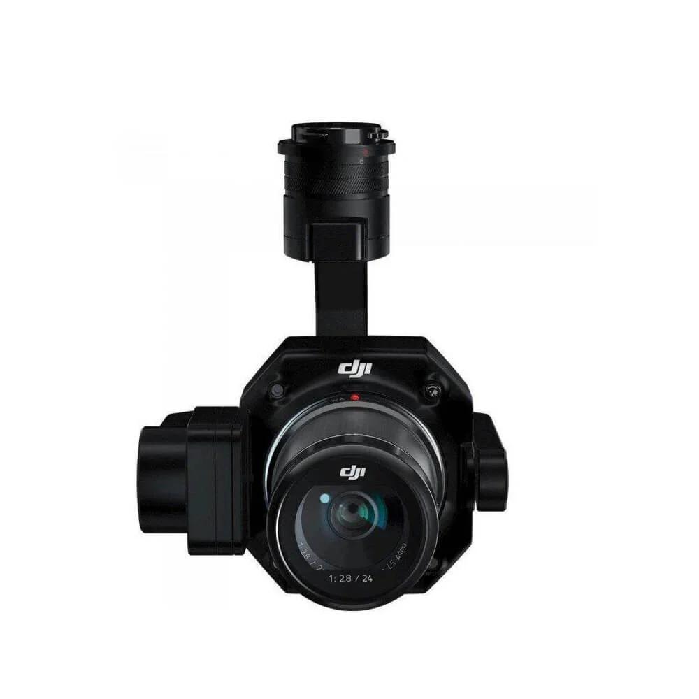
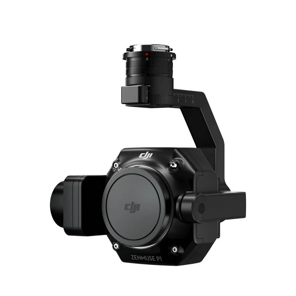
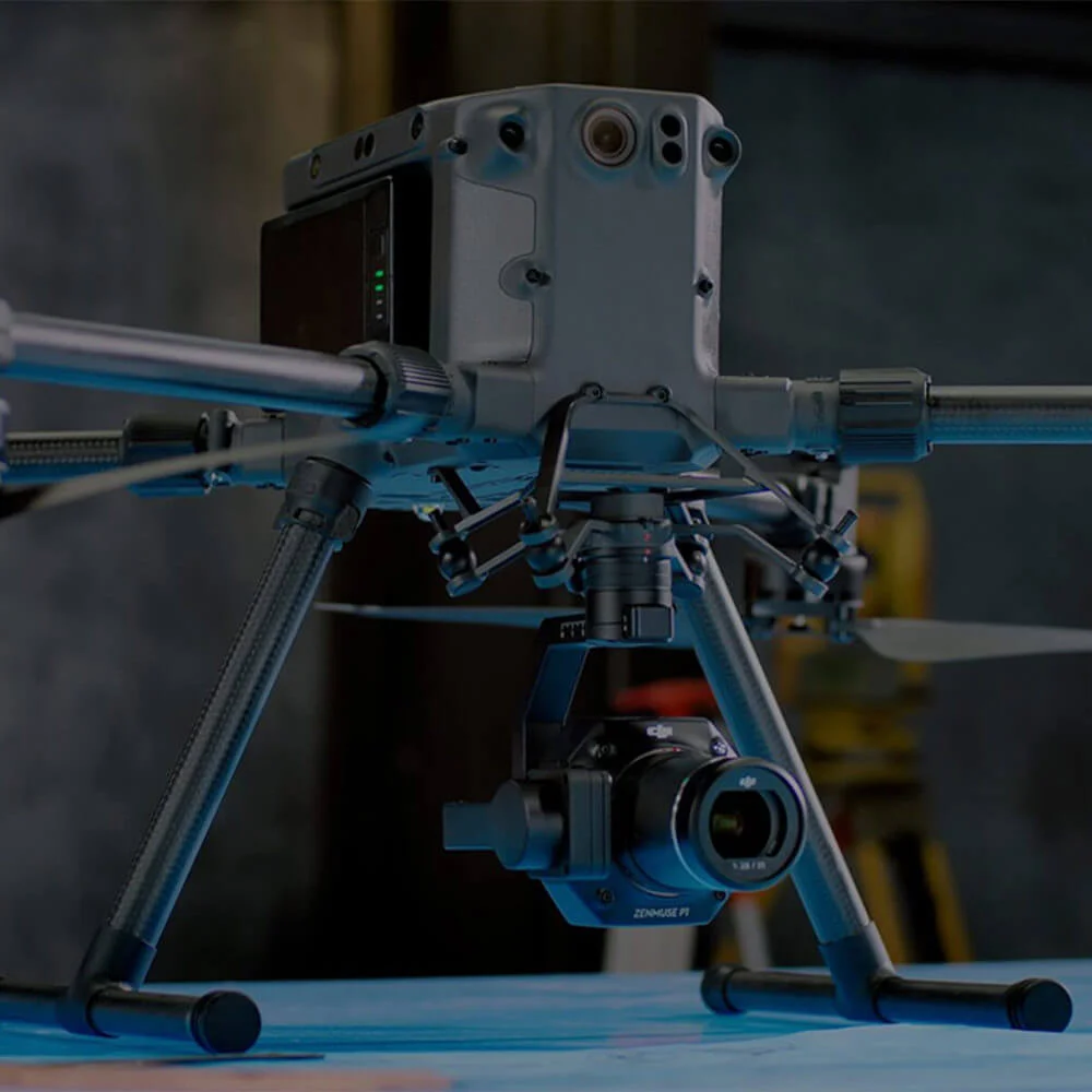
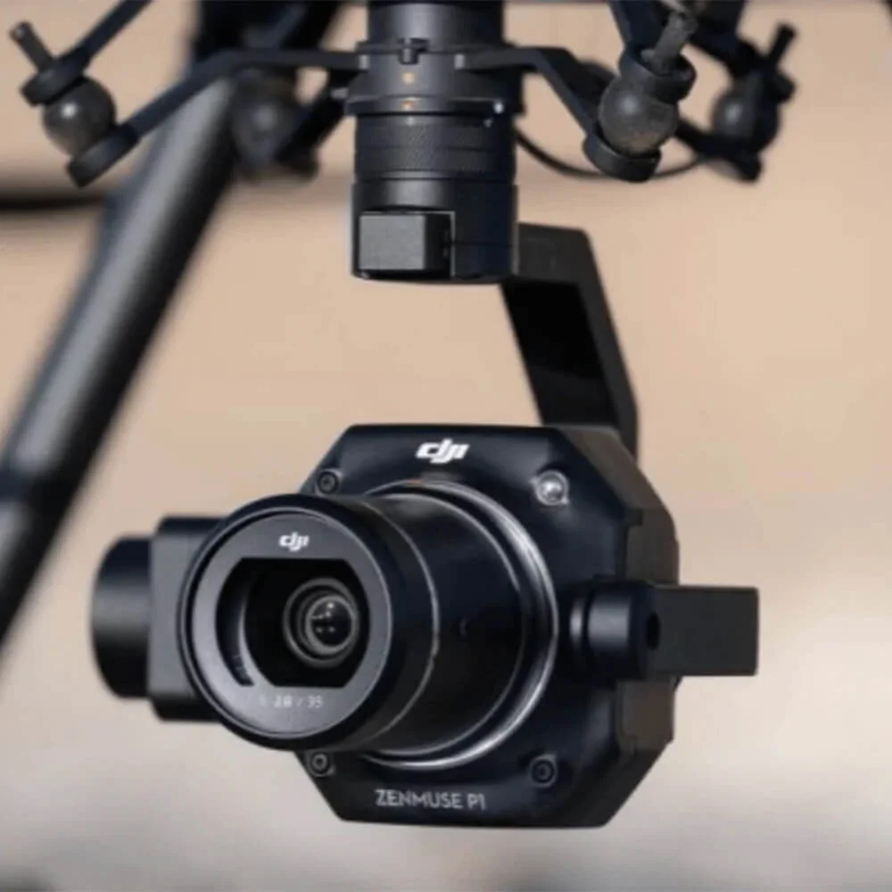
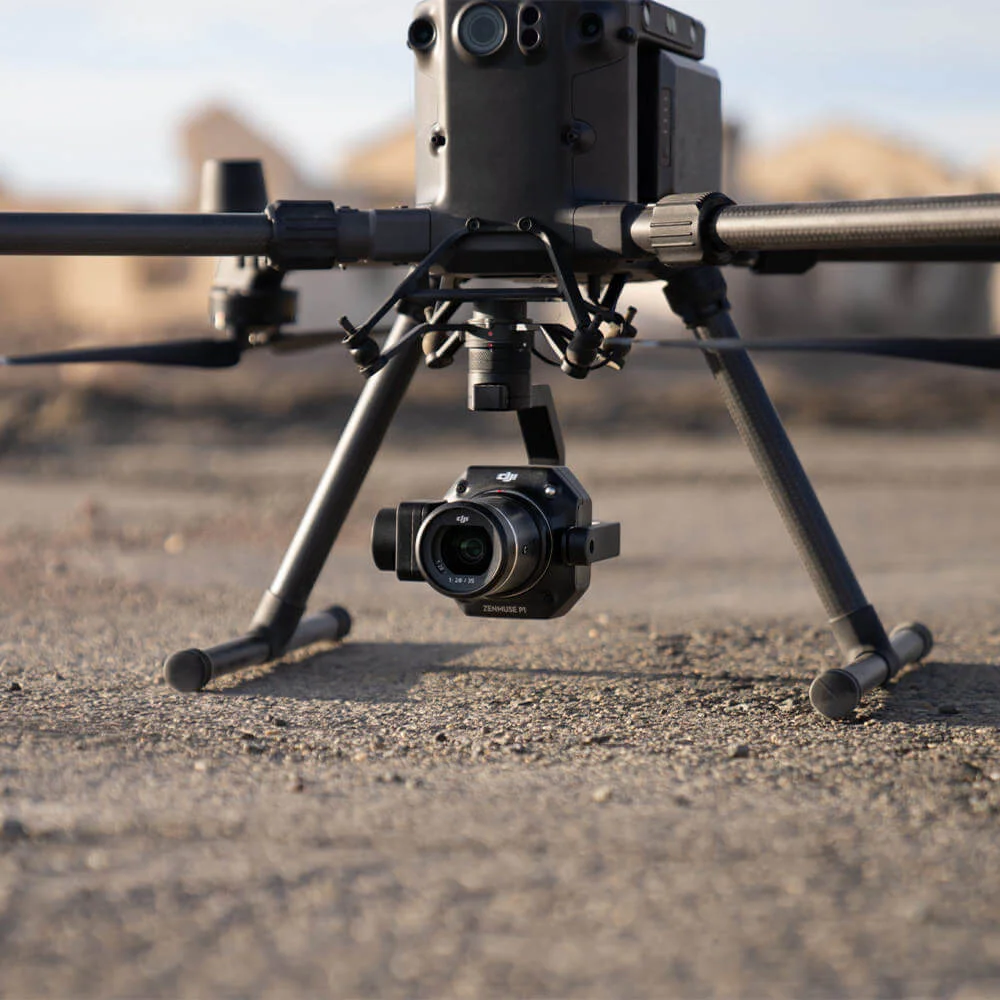
The Zenmuse P1 integrates a full-frame sensor with interchangeable fixed-focus lenses on a 3-axis stabilized gimbal. Designed for photogrammetry flight missions, it takes efficiency and accuracy to a whole new level.
Accuracy without GCPs
3 cm horizontally / 5 cm vertically
High Efficiency
3 km2 covered in a single flight
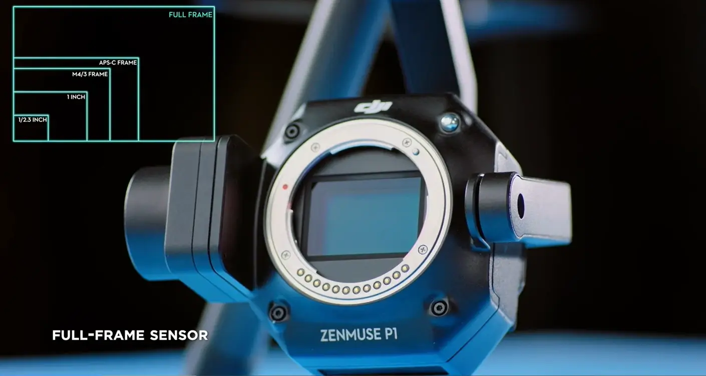
45 MP Full-frame Sensor
3-axis Stabilized Gimbal
Smart Oblique Capture
Global Mechanical Shutter
Shutter Speed 1/2000 Seconds
TimeSync 2.0 – synchronization
at the microsecond level
Your Go-to Tool for Aerial Photogrammetry
Zenmuse P1 is designed to streamline aerial photogrammetry workflows, combining speed, precision, and flexibility in a single payload. From rapid data capture across large areas to highly accurate modeling and adaptable lens options, it gives surveyors and mapping professionals the confidence to deliver reliable results across a wide range of projects.
Need a Quote?
We’ll Call You
Simply enter your contact details and one of our specialists will call you to discuss your requirements and provide a detailed quotation.
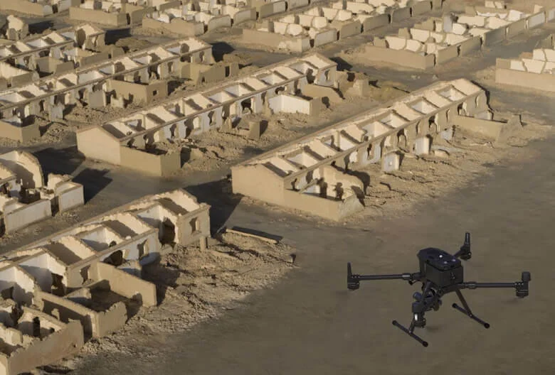
Extraordinary Efficiency
The P1 includes a full-frame, low-noise high-sensitivity sensor that can take a photo every 0.7 s during the flight and covering 3 km2 in a single flight.
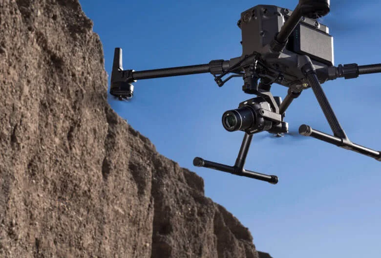
Robust Versatility
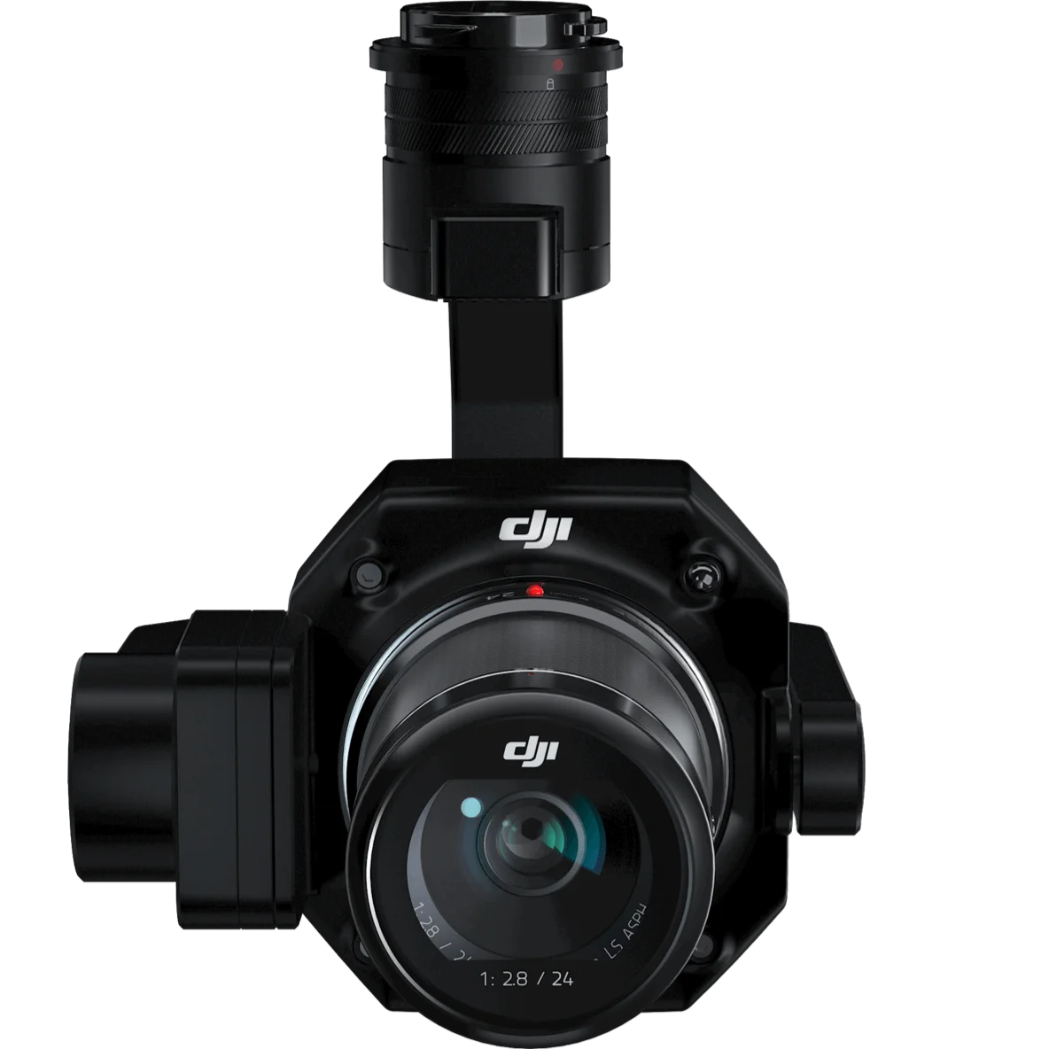
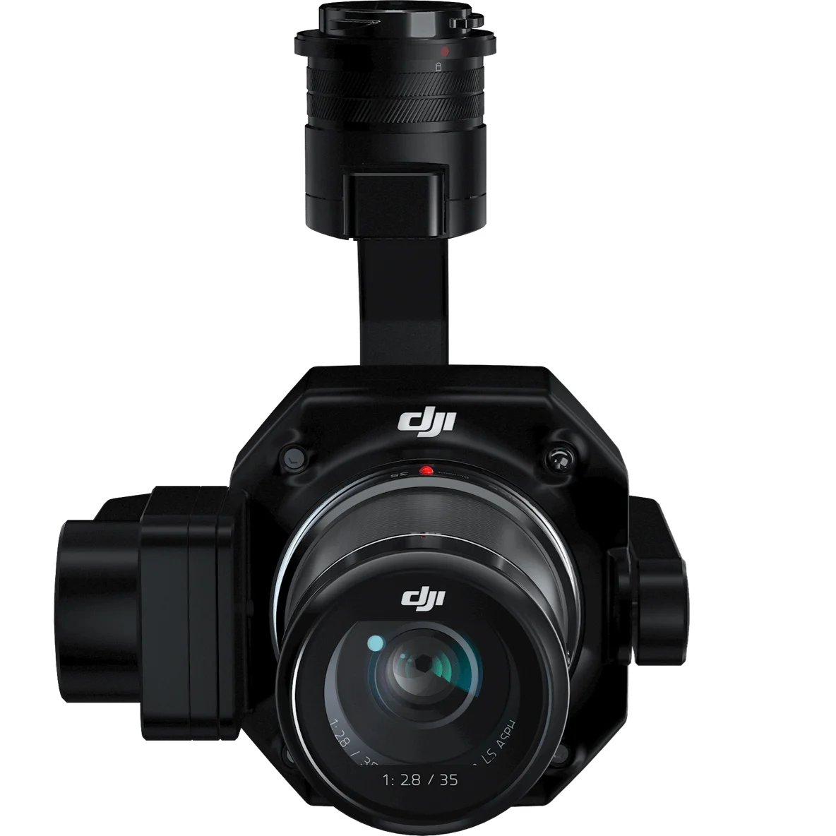
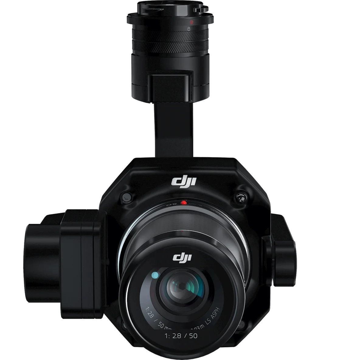
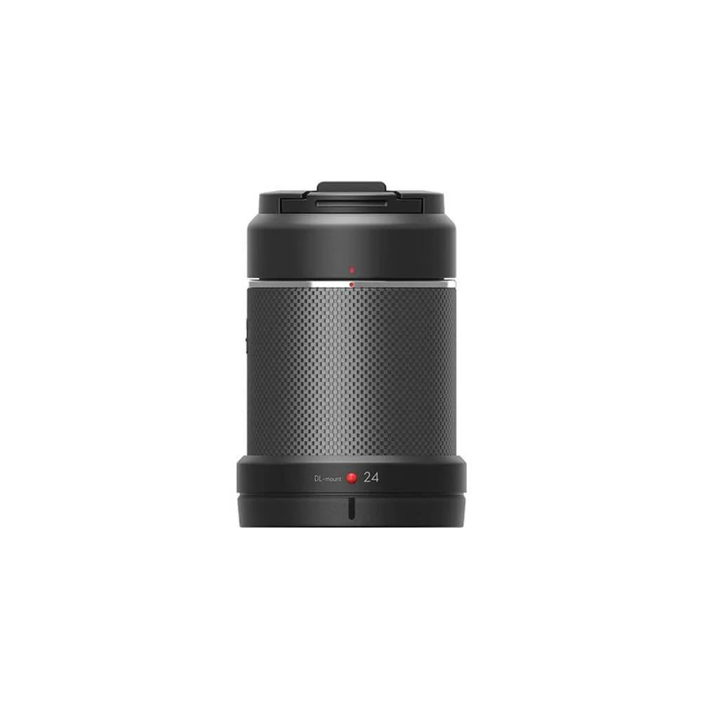
Create 2D, 3D, and detailed models thanks to the integrated 3-axis gimbal that can be outfitted with 24/35/50mm lenses and the Smart Oblique Capture feature.
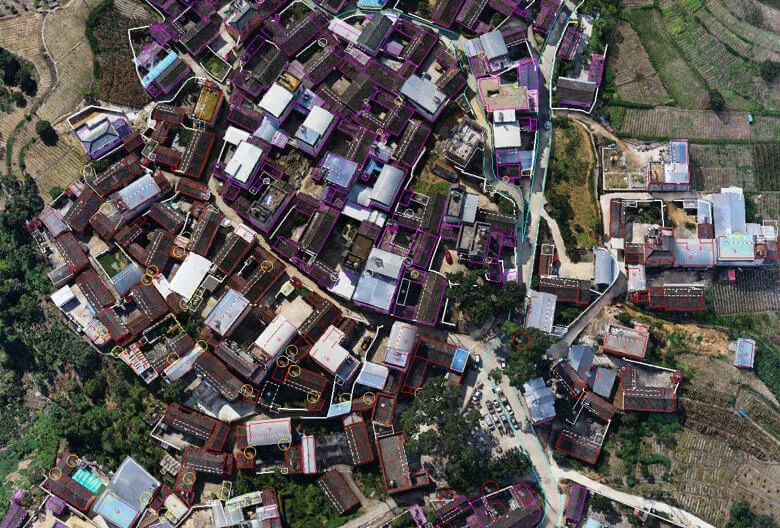
Remarkable Accuracy
Equipped with a global mechanical shutter and the all-new TimeSync 2.0 system, which synchronizes time across modules at the microsecond level, the Zenmuse P1 lets users capture centimetre -accurate data combined with the real-time position and orientation compensation technology.
Full-frame Camera
-
45MP Full-frame Sensor
-
4μm Pixel Size
-
Low-noise, high sensitivity imaging extends daily operational time
-
Take a photo every 0.7 s during the flight
-
TimeSync 2.0 aligns the camera, flight controller, RTK module, and gimbal at the microsecond level
Flexibility to Capture it All
-
Global Mechanical Shutter, Shutter Speed 1/2000 Seconds
-
Send the median exposure pulse in microseconds
-
Supports 24/35/50 mm lenses with DJI DL mounts
Work Smart, Work Fast
Smart Data Management
Your mission data management – streamlined.
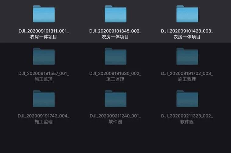
Mission result files are automatically associated with the Mission Name and Mission Time.
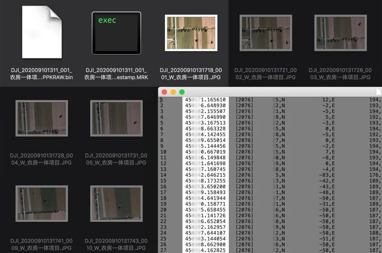
A centralized storage location for photos, GNSS data, and TimeStamps.MRK files.
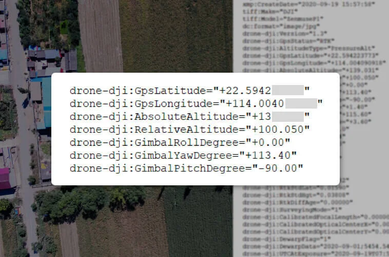
The image metadata contains the camera’s intrinsic and extrinsic parameters and the status of RTK.
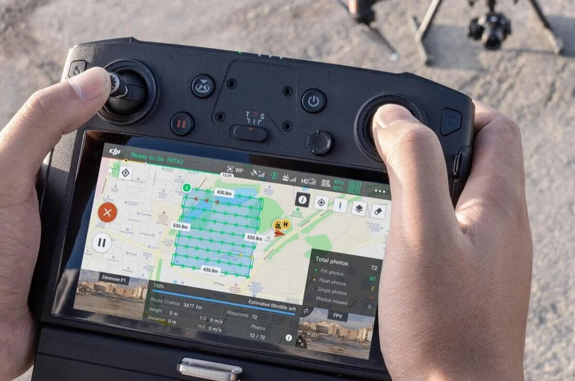
Fieldwork Report
Verify data quality immediately post-flight by checking the position data and number of the images acquired, as well as RTK status and positioning accuracy.
A Mission Mode for Any Scenario
From large-scale mapping to highly detailed reconstructions, Zenmuse P1 offers dedicated mission modes tailored to different operational needs. Whether capturing broad orthomosaics, multi-angle oblique imagery, or close-range detail of complex structures, each mode is designed to streamline data collection and deliver reliable results across a wide range of industries.
Need a Quote?
We’ll Call You
Simply enter your contact details and one of our specialists will call you to discuss your requirements and provide a detailed quotation.
Application Scenarios
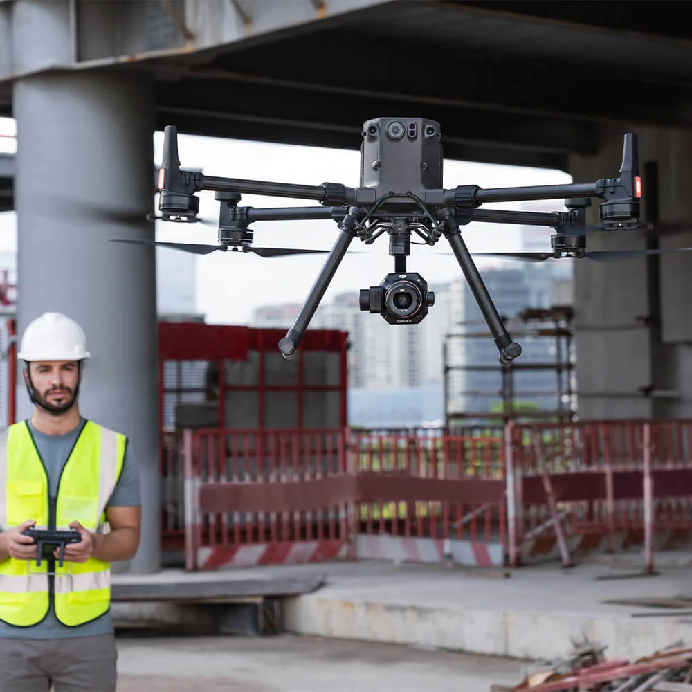
Zenmuse P1 adapts seamlessly across a wide range of professional applications, delivering reliable aerial data for planning, analysis, and decision-making. From high-accuracy surveying and mapping to environmental monitoring, infrastructure projects, and emergency response, it provides the flexibility and precision needed to capture actionable insights in diverse and demanding scenarios.
Need a Quote?
We’ll Call You
Simply enter your contact details and one of our specialists will call you to discuss your requirements and provide a detailed quotation.
Topographic Mapping
Capture data that meet the 1:500 scale accuracy requirements without GCPs.
Cadastral Surveying
Quickly generate centimeter-level accurate 3D reality models.
AEC and Surveying
Manage the full project lifecycle with 2D and 3D drone data.
Natural Resource Management
Measure, classify, or determine the ownership of water bodies and forests.
Geological Investigation
Safely gather millimetre-level accurate aerial data of geological hazard sites.
Disaster Site Modeling
Gain real-time overviews of vast disaster-struck areas to help teams make critical decisions.
See the Zenmuse P1 Series in Action
See how the Zenmuse P1 Series performs in real-world photogrammetry workflows, from large-scale mapping to detailed 3D modeling applications.

Related Images
Need a Quote?
We’ll Call You
Simply enter your contact details and one of our specialists will call you to discuss your requirements and provide a detailed quotation.