Phase One P5
A new standard for data accuracy
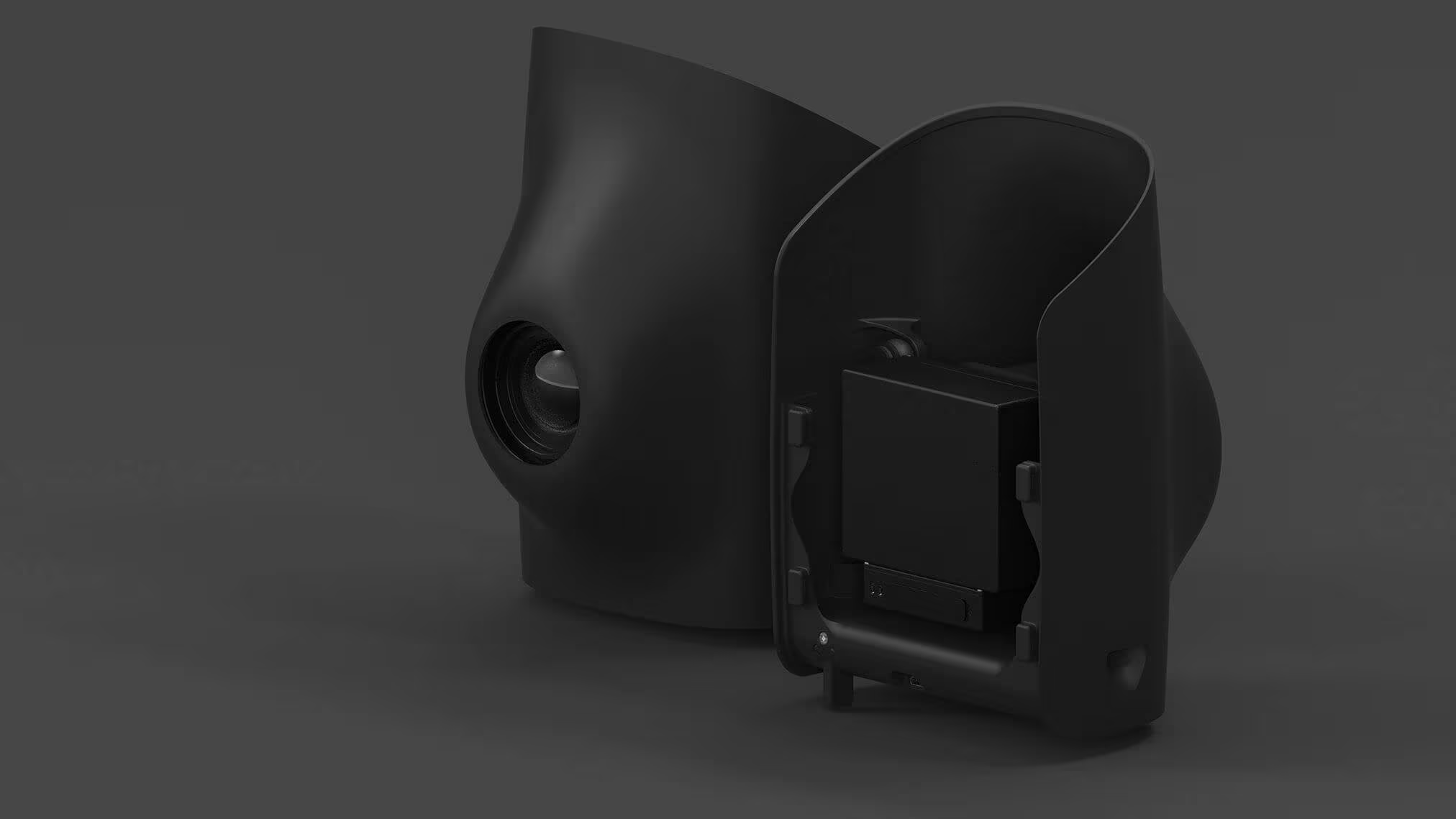
The Phase One P5 is the world’s first purpose-built engineering survey grade camera for UAVs. Designed to meet the highest engineering surveying standards while seamlessly integrating with your day-to-day surveying tools. P5 sets a new standard for data accuracy, ensuring efficient surveying process without making any compromises.
Need a Quote?
We’ll Call You
Simply enter your contact details and one of our specialists will call you to discuss your requirements and provide a detailed quotation.
Need a Quote?
We’ll Call You
Simply enter your contact details and one of our specialists will call you to discuss your requirements and provide a detailed quotation.

Phase One P5 Medium Format Precision for Large-Scale Aerial Surveying
The Phase One P5 stands as a revolutionary flagship in the world of medium format cameras, offering a 128 MP resolution that transcends the boundaries of traditional photography. It’s not just a camera; it’s a survey-grade instrument that promises to redefine the way you capture moments.
Flight altitude
Flight speed
GSD
Images
Area
Flight time
Technical Specification of the Sony ILX LR1 Imaging Payload
The Oblique D2M payload is engineered for high-resolution aerial imaging and precise data capture across complex environments. With centimetre-level ground sampling distance and a multi-camera configuration, it delivers detailed imagery suitable for 3D modelling, mesh generation, and professional surveying workflows. The combination of high sensor resolution and rapid trigger intervals ensures comprehensive coverage and data quality, supporting accurate analysis and decision-making in demanding applications.
80 mm Option
| GSD @60m | 0.26 cm/px |
| GSD @120m | 0.52 cm/px |
| Coverage @60m AGL | 67 ha (0.26cm/px GSD, 70% overlap) |
| Coverage @120m AGL | 135 ha (0.51cm/px GSD, 70% overlap) |
35 mm Option
| GSD @60m | 0.59 cm/px |
| GSD @120m | 1.18 cm/px |
| Coverage @60m AGL | 154 ha (0.59cm/px GSD, 70% overlap) |
See the Phase One P5 in Action
Explore real-world aerial deployments and sample outputs showcasing the Phase One P5’s exceptional image clarity and survey-grade precision. See how its ultra-high resolution performance translates into highly detailed, reliable data across large-scale mapping missions.
Related Images


Need a Quote?
We’ll Call You
Simply enter your contact details and one of our specialists will call you to discuss your requirements and provide a detailed quotation.
-
Oblique D2M
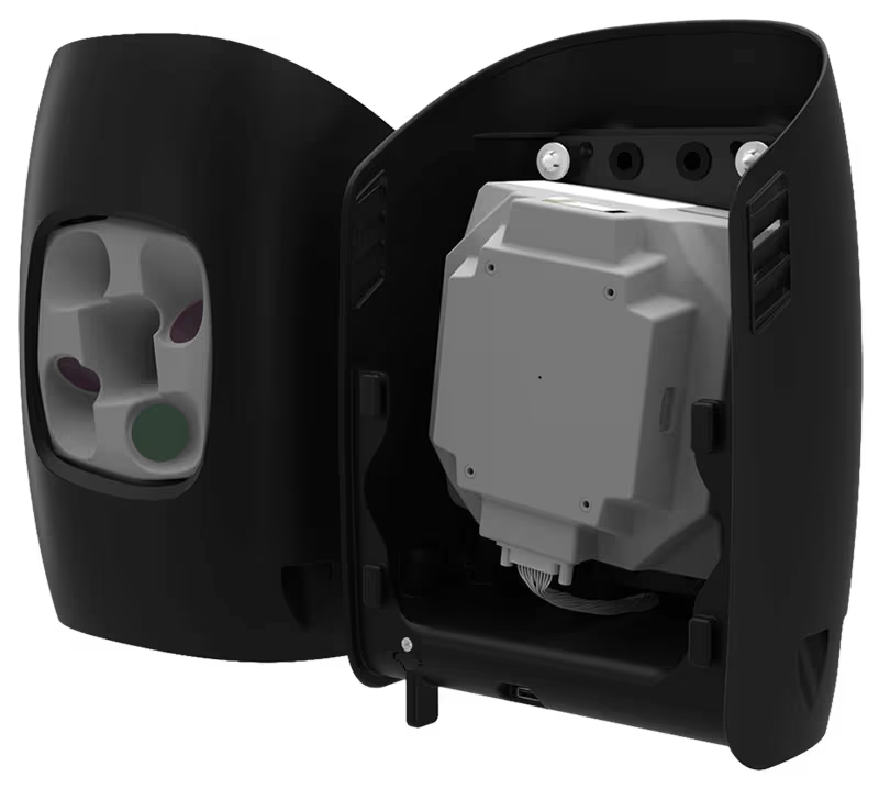
The Oblique D2M is a powerful oblique imaging system consisting of five high-resolution multi-directional cameras, making it the ideal tool for large scale 3D photogrammetry. -

Qube 640
Not just limited to productivity gains, the Qube 640 sensor excels in precision and accuracy. -

Sony ILX LR1
The SONY ILX-LR1 camera, with its cutting-edge high-accuracy capabilities and expansive coverage. -

Trinity Pro
The Trinity Pro is designed to adapt to changing requirements, evolve in capabilities, and accelerate decision making through aerial data.