Category: Drones & Digital Workflows
-

Why the DJI Matrice 350 RTK Is a Top Choice for Modern Surveying
Surveying has advanced beyond traditional ground-based methods. Aerial platforms now play a central role in supporting accurate, end-to-end site data workflows on complex projects. On complex, large-scale sites, drone technology has become a practical requirement.
-
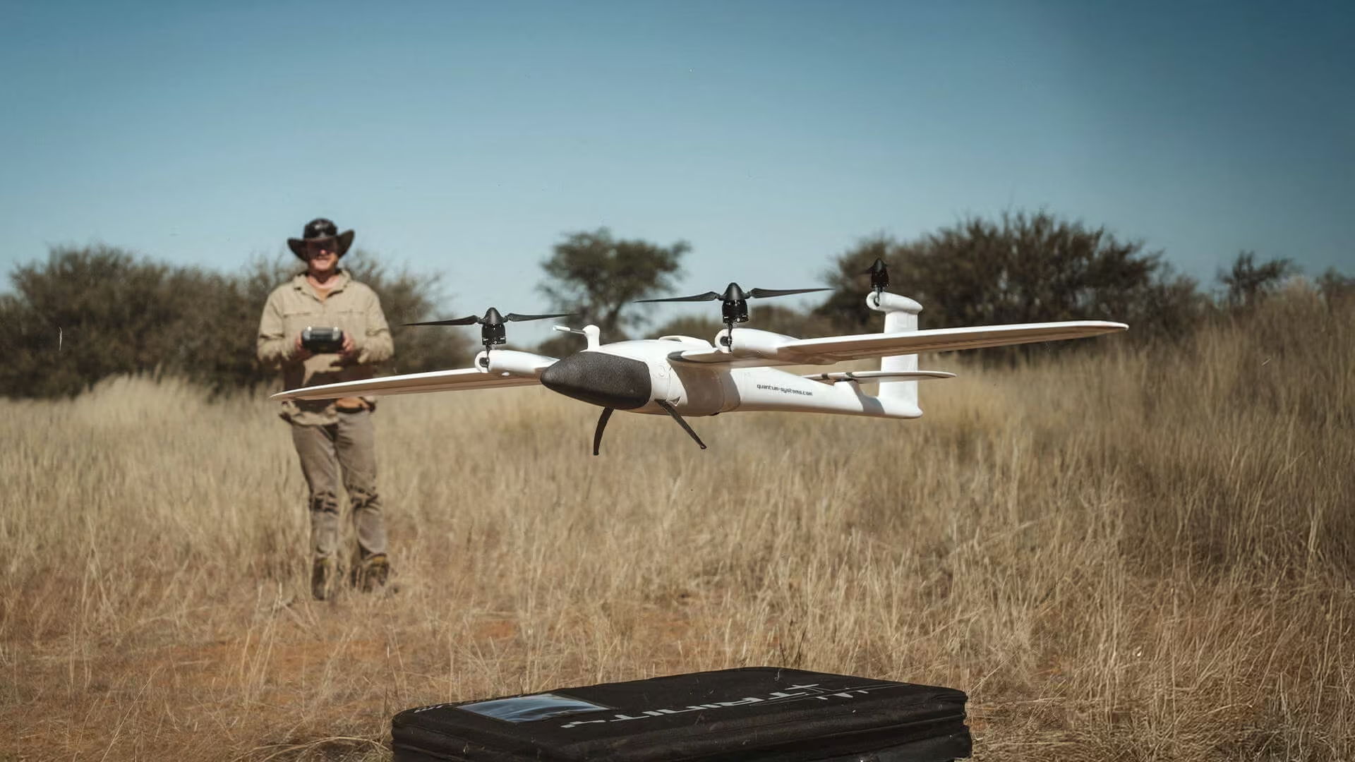
Why the Trinity F90+ Is Ideal for Large-Scale Mapping Projects
Large-scale mapping places very different demands on aerial survey equipment than small, confined sites. When projects extend across kilometres rather than hectares, the operational demands change. Sustained, reliable and efficient performance quickly becomes more important than the convenience of short, vertical flights.
-
Drone Survey Benefits and Applications in South Africa
Drone surveying is transforming how South African professionals approach mapping, construction, agriculture and land development. By combining UAV technology, high-accuracy positioning and advanced data processing, modern drone surveys deliver faster results, improved safety and centimetre-level precision across even the most challenging terrain. This article explores how drone land surveying works, its key benefits, and how…
-
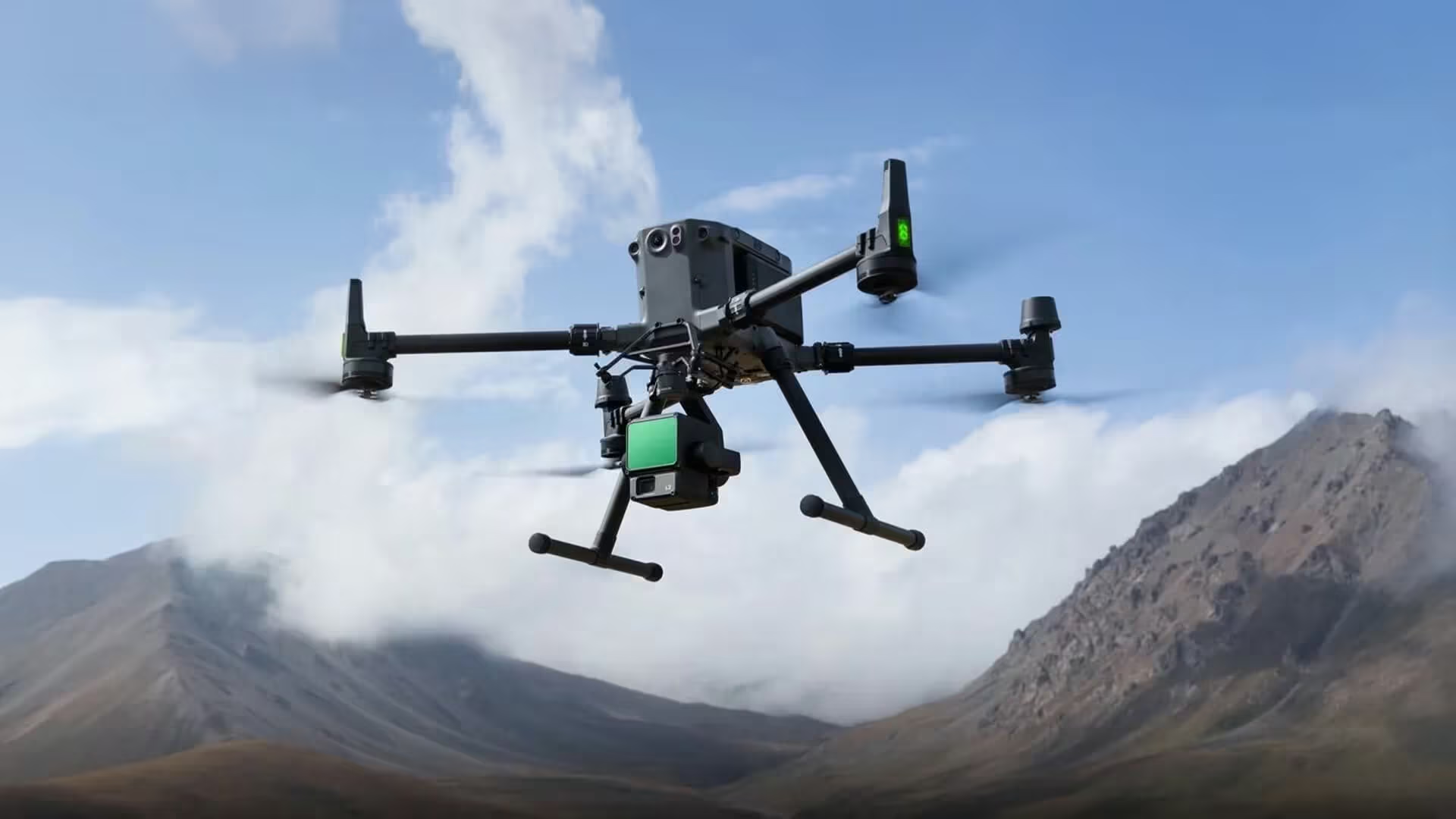
Exploring How Surveying Drones, 3D Scanners and AI Are Changing the Industry
Surveying drones are revolutionising the industry by combining speed, precision and automation. When integrated with 3D scanning and AI, they create smarter, more efficient workflows that deliver accurate results for construction, mining and infrastructure projects across Africa.
-
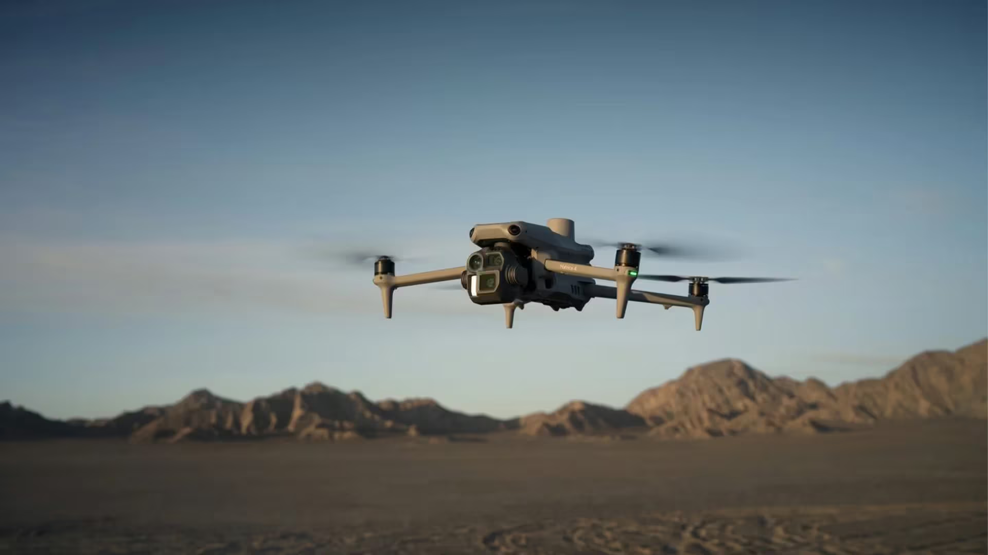
DJI Matrice 4
The DJI Matrice 4 Series is redefining aerial surveying with advanced sensors, modular payloads, extended flight time and AI automation. From construction and agriculture to energy inspections, this next-generation drone delivers survey-grade accuracy and unmatched efficiency. Discover how OPTRON, the authorised DJI distributor in Southern Africa, supports surveyors with training, service and expertise.
-
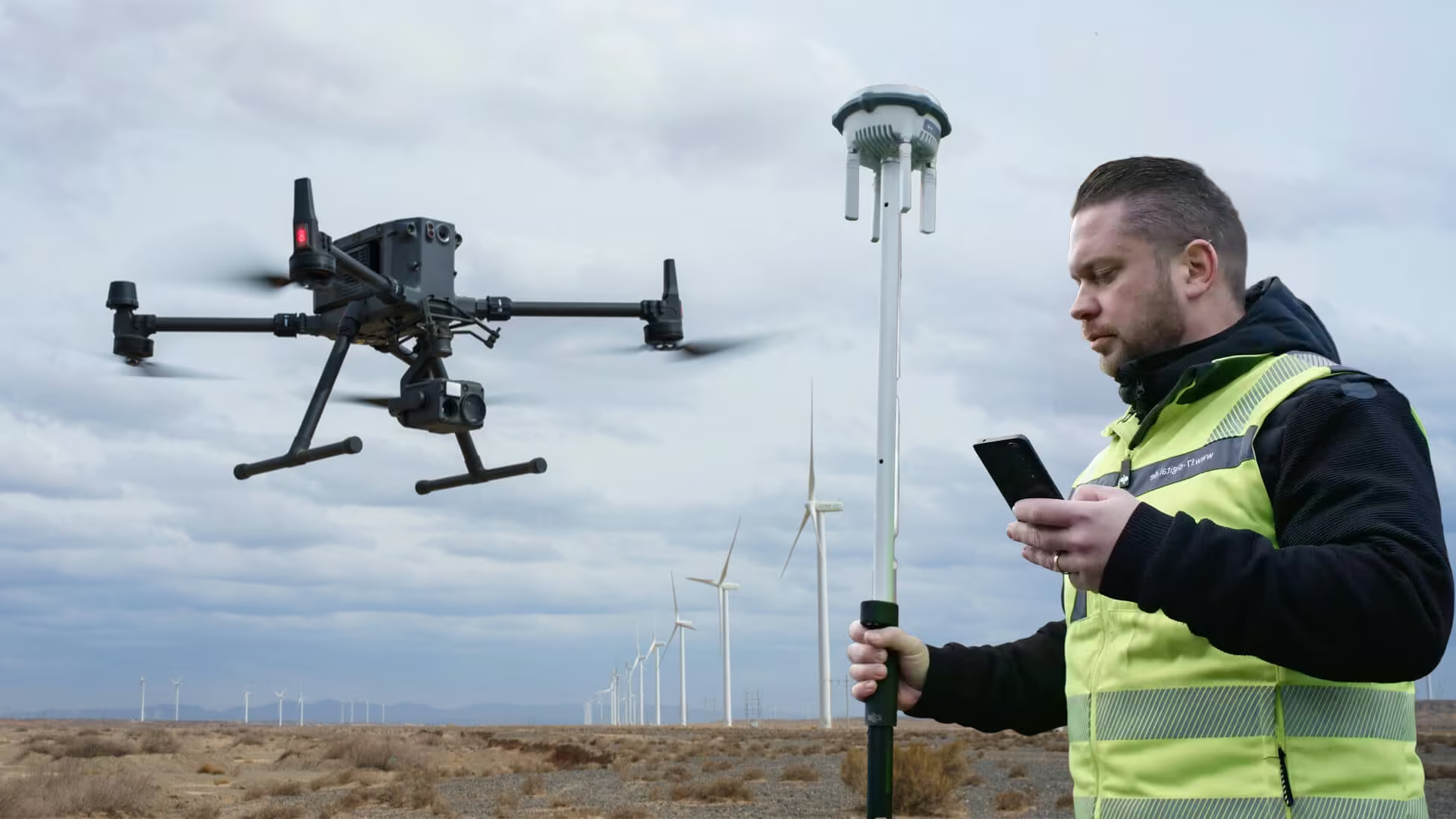
Drone Surveying
Drone surveying is transforming land projects with faster data collection, improved safety and unmatched accuracy. Learn how UAV survey technology and DJI Enterprise drones streamline workflows across industries, helping surveyors complete projects more efficiently with OPTRON’s expert support and integrated solutions.
-
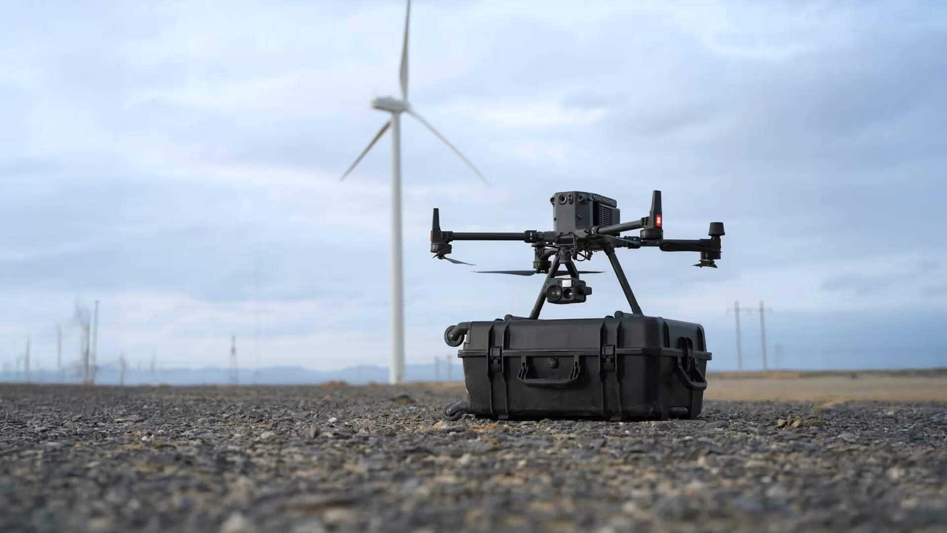
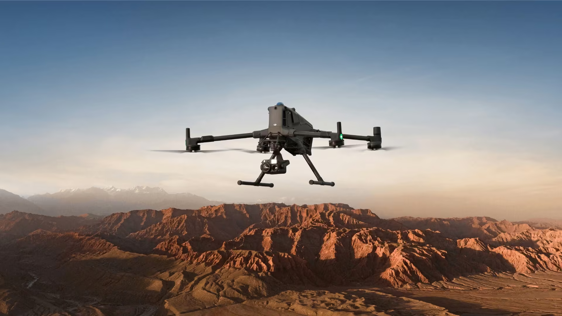
The DJI Matrice 350 RTK: Revolutionizing Drone Technology for Industrial Applications
Designed for industrial applications, this drone offers a combination of advanced features, durability and reliability, making it the ideal choice for professionals across various industries. Whether you’re involved in surveying, mapping, public safety, or inspection, the Matrice 350