
xFill
Powered by Trimble RTX technology
Trimble® xFill® runs seamlessly in the background automatically bridging the gap if a users RTK or VRS correction source is interrupted due to cellular signal disruption or loss of radio connectivity
Need a Quote?
We’ll Call You
Simply enter your contact details and one of our specialists will call you to discuss your requirements and provide a detailed quotation.
Need a Quote?
We’ll Call You
Simply enter your contact details and one of our specialists will call you to discuss your requirements and provide a detailed quotation.

Maintain Accuracy
Maintain 2 cm horizontal accuracy during cellular signal disruption or radio connectivity loss.
Better Uptime
Continue working through signal outages, minimizing work delays and improving in-field productivity.
Flexible Options
Available for free from 5 to 20 minutes depending on your industry, and for extended periods with our premium service. Just buy what you need.
Worldwide Service
Satellite coverage makes Trimble xFill available worldwide, the ideal solution for providing reliable back up in remote locations or areas with poor cell coverage.
How Trimble xFill Delivers High-Accuracy Positioning Without RTK
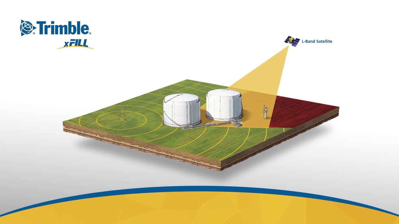
Powered by Trimble RTX technology, Trimble xFill leverages real-time data from a global tracking station network along with innovative positioning and compression algorithms to compute and relay satellite orbit, satellite clock, and other systems adjustments to the receiver, resulting in the real time high accuracy positions. These adjustments are transmitted to the receiver via satellite (where coverage is available).
When turned on, the receiver tracks the RTX (L-band) satellite as well as every satellite in its field of view including, GPS, GLONASS, Galileo, BeiDou and QZSS satellite constellations. From the L-band satellite, you will receive the RTX real time correction stream that allows you to calculate your position to high accuracies, without the need of a base station.
Availability
xFill is available nearly worldwide, wherever CenterPoint RTX satellite service is available.

Reliable Backup GNSS Positioning for Agriculture, Survey and Construction


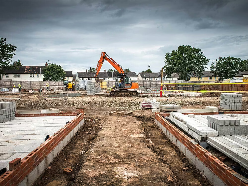
Survey-Grade Accuracy for Construction Without Downtime
Survey site-prep work doesn’t come to a standstill when the local base station loses connectivity. xFill back-up services have you covered.
Trimble xFill, powered by RTX technology, is your backup coverage if a network connection is lost. It provides seamless, centimetre-level back-up positioning via satellite if RTK or VRS signal sources are interrupted due to signal disruptions or loss of radio connectivity.
Continue to achieve survey-grade accuracy in remote locations without disruption, improving your productivity and your profits.
See the Trimble xFill in Action
Keep your fieldwork moving even when correction signals drop. With Trimble xFill’s satellite‑backed precision, you’ll maintain high‑accuracy positioning and maximise uptime whenever RTK or VRS connections are lost.
Related Images


Need a Quote?
We’ll Call You
Simply enter your contact details and one of our specialists will call you to discuss your requirements and provide a detailed quotation.