Business Center
Transform Field Data Into Actionable Deliverables
Trimble® Business Center (TBC) software enables surveyors to transform field data from GNSS receivers, total stations, laser scanners, mobile mapping systems, drones and more into high-quality, actionable information and client deliverables.
Need a Quote?
We’ll Call You
Simply enter your contact details and one of our specialists will call you to discuss your requirements and provide a detailed quotation.
Need a Quote?
We’ll Call You
Simply enter your contact details and one of our specialists will call you to discuss your requirements and provide a detailed quotation.

Trimble Business Center’s field-to-finish survey CAD software helps surveyors deliver high-accuracy data, create CAD deliverables and leverage full data traceability throughout a project’s lifecycle.
Leverage one software environment that delivers the flexibility and capabilities needed for surveyors’ diverse project requirements.

Powerful Workflows for Superior Results
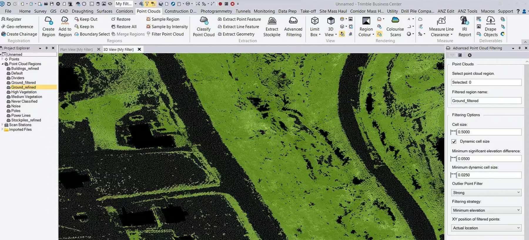
From the industry-leading GNSS baseline processor to dynamic surfaces, point cloud classification and feature extraction, optimize your data and deliverables.
View & Adjust Raw Data in One Software
Eliminate unnecessary data exports, correct field blunders, reduce rework and ensure data traceability in a single application.
With the new subscription-based licensing plans for Trimble Business Center software, we’re putting you at the center of it all.
TBC subscription plans come with lower upfront costs and provide you with the flexibility to use and scale your licenses as needed, and benefit from the latest software updates. Choose the plan that best suits your needs or consider one of our perpetual licensing options.
Data Confidence
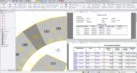
Work with data, not coordinates
Review and adjust metadata like rod heights and vector quality and then refine your raw observations with a least squares routine or GNSS post-processing.
Data Integration
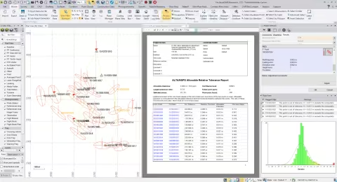
Support all survey sensors
Bring your GNSS, total station, digital level, terrestrial scan, UAV, mobile mapping and machine control data into one project environment.
Interoperability
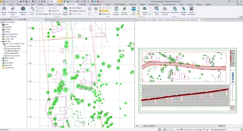
Report & share results
Work across standard industry hardware formats. Then, connect your project to software providers such as ESRI, Autodesk, Bentley and more.
Robust Deliverables
Report, create, export & more
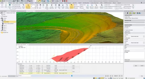
Start and stay in TBC with options like adjustment reports, digital surfaces, classified point cloud regions, constructible corridors and third-party exports.
Why Trimble Business Center Subscription Works for You
Trimble Business Center subscriptions put flexibility and control at the forefront of your workflow. Manage licenses online, assign users, and track usage to get the most out of every seat.
Online License Management
Assign users and generate usage reports to optimize your licenses.
Trimble ID-Based
Each TBC user has their own Trimble ID, each Trimble ID has its own TBC seat.
Cloud Hosting
Take your TBC license wherever you go – online or offline – no need to connect to a license server or plug in a dongle.
Subscription Choice
Offerings positioned to suit your workflows. Upgrades available to expand as you need.
Latest Releases
Your license is always current so you can utilize the latest enhancements and updates.
Flexible Terms
Buy annually, then upgrade, add seats or opt out at any time.
Select a Subscription Plan tailored to your Workflows
All subscription editions include Trimble Connect Business and Trimble Clarity Starter licenses for online data viewing, collaboration and interaction between stake holders.
Standard
Starter
For surveyors who complete field data adjustments and quality control checks with basic survey CAD and model prep tools.
-
Survey adjustments
-
CAD
-
Surfaces + Alignments
Site & Field
For surveyors who need a field-to-finish survey CAD software for traditional GNSS, Total Station and Digital Level based deliverables.
-
Survey adjustments
-
CAD + drafting
-
Surfaces, alignments, + corridors
Survey & Mapping
For surveyors who embrace the latest technology and strive for a competitive edge. Create compelling deliverables from all traditional sensors as well as 3D point clouds and GIS data.
-
Survey adjustments
-
CAD + drafting
-
Surfaces, alignments, + corridors
-
Point clouds + scanning
-
GIS + monitoring connections
Speciality
Aerial Survey
For surveyors and remote pilots who create deliverables from unmanned aerial vehicles (UAVs).
-
Survey adjustments
-
CAD + drafting
-
Surfaces, alignments, + corridors
-
UAV data processing
Construction
For civil construction and earthworks professionals who generate machine control models, accurate quantity takeoff reports, digitized PDFs, and roadway cross-sections.
-
CAD + drafting
-
Surfaces, alignments, + corridors
-
Data prep + machine control
-
Quantity takeoffs + mass haul analysis
-
Parametric roadway + utility modeling
Mobile Mapping
For surveyors and mapping specialists who process data and generate deliverables from Trimble mobile mapping solutions to integrate with traditional survey sensors.
-
Survey adjustments
-
CAD + drafting
-
Surfaces, alignments, + corridors
-
Point clouds + scanning
-
GIS + monitoring connections
-
Trimble MX9 processing
Enterprise
For survey, engineering and construction professionals who need flexibility and scale for any project. The complete package to start and stay in Trimble Business Center.
-
Survey adjustments
-
CAD + drafting
-
Surfaces, alignments, + corridors
-
Point clouds + scanning
-
GIS + monitoring connections
-
Tunneling + utility workflows
-
UAV data processing
Robust software for Mine Surveying
Trimble® Business Center (TBC) Mining office software delivers tools for mine and quarry survey workflows. From calculating volumes to tracking progress and optimizing operations, it equips professionals with streamlined tools for confident decision-making.
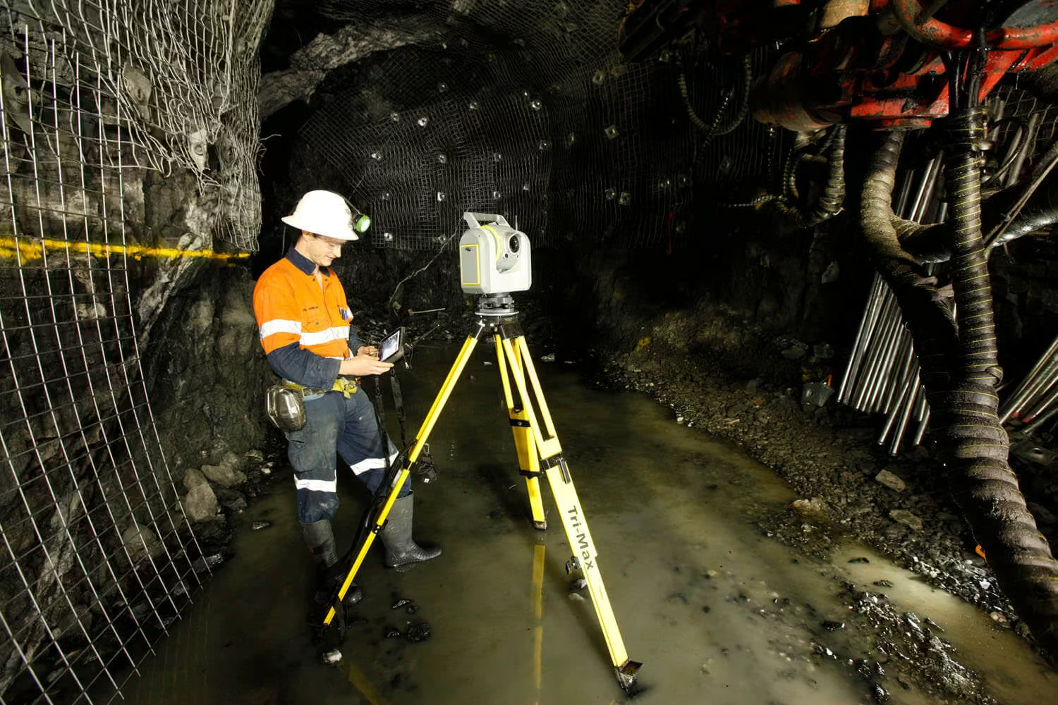
Unlock efficiency and precision in both open pit and underground mining operations with TBC Mining.
Improved mine productivity
Automate tasks like stockpile volume calculations to help you make informed decisions quickly, even with large datasets. Focus on critical mine planning and management.
Safeguard your workforce and operation
Slope conformance monitoring ensures mining follows design specs, maintaining structural integrity for regulatory compliance and workers’ safety.
See the Trimble Bussiness Center in Action
Discover how Trimble Business Center streamlines data processing, turning field data into accurate insights and deliverables.

Related Images


Need a Quote?
We’ll Call You
Simply enter your contact details and one of our specialists will call you to discuss your requirements and provide a detailed quotation.
-

Trimble RealWorks
Automated tools and point cloud workflows help users quickly process, analyze and create high-quality deliverables. -

Trimble Mine Insights
Optimise your surveying, drilling, blasting and geotechnical workflows with Trimble® Mine Insights™ software, a cloud-based mining analytics application. -

Inpho UAS Master
Create powerful deliverables from images collected with UAS (Unmanned Aircraft Systems) aerial mapping and surveying systems. -

Inpho
Inpho office software transforms aerial images into accurate point clouds, surface models and orthophoto mosaics. -

Trimble MX Office Software
Mobile mapping operations collect massive data sets very quickly. It is important to have the right software tools to simplify data organization, feature extraction, and customer collaboration. -

Applanix POSPac MMS
POSPac Mobile Mapping Suite, now with Trimble CenterPoint RTX, is an industry leading GNSS-Aided Inertial post-processing software -

eCognition
Trimble eCognition helps automate the interpretation of geospatial data with advanced feature extraction and change detection tools. -

Terra Office
Trimble Terra Office software helps professionals manage high-accuracy TerraFlex data and integrate it into GIS systems. -

Trimble Sentinel
The Trimble® Sentinel device tracking solution is the easy way to quickly track total stations using your mobile device in real time. -

Trimble Reality Capture Platform
The Trimble® Reality Capture platform service enables users to collaborate, share, store and manage large amounts of reality capture data in the cloud. -
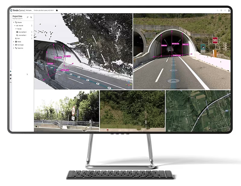
Trimble Connect
Trimble Connect is a cloud-based platform that connects teams with the right data at the right time.